
The question
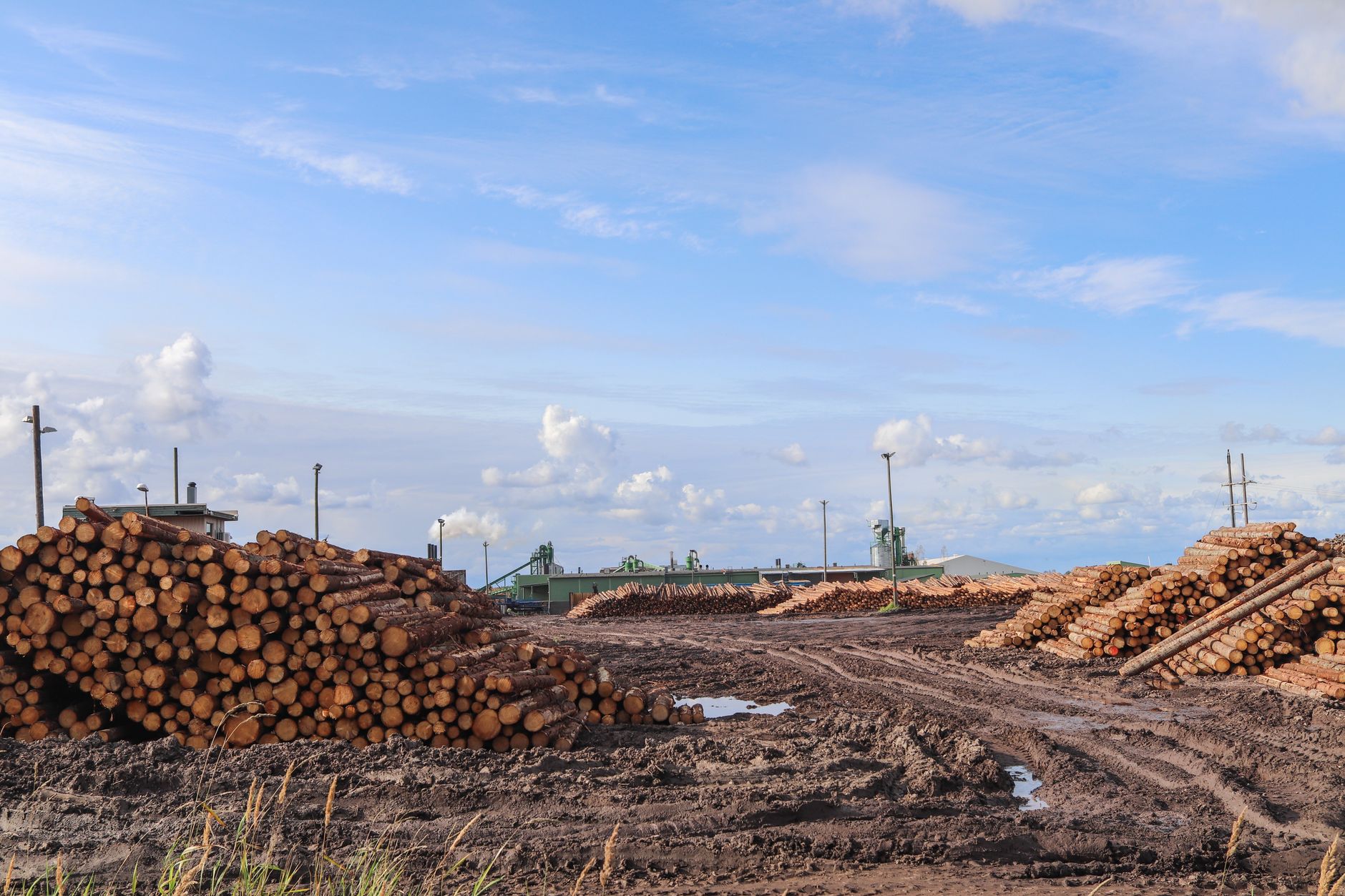
We haul logs into a 60-acre yard where stockpile volumes get measured by hand every Monday and the tape crew is always behind; could drones survey the piles from the air and give accurate counts?
The short answer
For a log yard, drone surveys can measure stockpile volume within a few percent in published tests, which is close to the traditional method under the same conditions. Real yards diverge more than test piles, so the result depends on ground control, flight planning and a reference survey you trust. A drone helps only if the flight, processing and sign off run every Monday under a named owner, and hand checks still belong on steep edges and tight gaps.
Key takeaways
- Published tests show drone stockpile volume errors of a few percent, close to traditional methods under the same conditions.
- Real yards diverge more than test piles, so the reference survey matters as much as the drone.
- Keep hand checks on steep edges, tight gaps and unclear boundaries.
- A weekly flight only helps if processing, sign off and a named owner run on the same schedule.
- Check the latest FAA flight rules before planning any survey.
Can drone surveys measure log yard stockpile volume accurately?
For a log yard, drone surveys can measure stockpile volume accurately enough for a weekly count, at least in the published tests. Most of the research compares a drone model against a reference survey on a known pile or a real pit, and the errors are usually a few percent. That is a useful answer for a yard where the tape crew is always behind, but it is not a promise that every pile will land inside that band every Monday.
Your question has two parts. The first is whether the drone can capture the pile well enough to build an accurate surface. The second is whether the yard has a trusted baseline and a routine that keeps the count up to date. The first part is well supported by the tests. The second part depends on how your yard runs, and no study can settle it for you.
A drone does not count logs. It records the ground surface from overlapping photos, and software turns that surface into a volume by comparing it with a base surface. Stockpile volume is therefore only as good as the surface model and the base it is measured against, which is why the rest of this page focuses on those two inputs.
How accurate are drone volume counts compared with ground surveys?
The clearest comparison comes from a 2022 study of the Njuli quarry in Malawi. According to that study, drone volume error was 2.6% against 1.3% for the traditional approach, and both fell within a ±3% tolerance. The traditional method came out closer in that test, which is a useful reminder that drones do not win every comparison.
Controlled pyramid tests tell a similar story. The 2020 Clemson study by Adjidjonu and Burgett reported model volumes within about 0.35% to 3.03% of measured values at 125 feet using nadir imagery, meaning the camera pointed straight down. Oblique images, taken at an angle, gave about 0.44% to 8.23% error and did not significantly improve accuracy.
A separate study by Burgett and colleagues, published in Frontiers in Built Environment, used a small drone and a cardboard pyramid. Computed volumes came to 1.5% to 3.3% of the actual volume. On a real borrow pit, the drone survey and a conventional survey differed by 9.8%, and the authors noted that the drone data had higher resolution and point density.
The Estonian study, reported in Agronomy Research in 2020, found UAV photogrammetry sufficiently accurate for stockpile volumes with both UAVs it tested, including without ground control points. Taken together, controlled tests show errors of a few percent, while real-site comparisons diverge more.
Several of these figures come from study summaries that our research pass could not fully match to the paper pages. Confirm the exact numbers against the papers before you quote them internally.
How long does the Monday hand count take the crew?
By your account, hand measurement takes the crew most of a Monday morning, and the counts still trail deliveries. That pattern follows naturally when a count depends on walking each pile, reading tape distances and writing totals by hand before anyone can add them up. We did not find a published figure for hours spent on hand stockpile measurement at log yards, so treat the hours here as your crew's own numbers, not an industry benchmark.
The lag often matters more than the morning. If the count is ready on Tuesday for trucks that arrived Monday, the yard plans against yesterday's inventory. A drone flight does not remove the walk entirely, since edges and tight gaps often still need a person, but it moves most of the measurement into a flight window and a processing run.
Track two numbers for a week before you decide. The first is the crew hours spent on the count. The second is the number of days between a delivery and a finished count. Those two numbers will tell you more about the case for a survey than any general claim about drones.
Count the days from delivery to a finished count as well as the hours. A two day lag in a busy week can matter more to inventory accuracy than a few extra crew hours.
| Task | Today | With a robot |
|---|---|---|
| Hand measure each stockpile | most of a Monday morning, per the yard's account | a flight window set around truck traffic |
| Walk edges and tight gaps | part of the same walk, time not logged | still done by hand on flagged piles |
| Turn measurements into volumes | tape totals entered and summed after the walk | processing run after the flight, then a lead check |
| Match counts to deliveries | the count trails the trucks | a count the lead can review after processing |
The Monday hours come from the yard manager's own description. Our research pass found no published hour figures for hand stockpile measurement, so time your crew for one week before comparing.
Why real log yards are harder than test piles
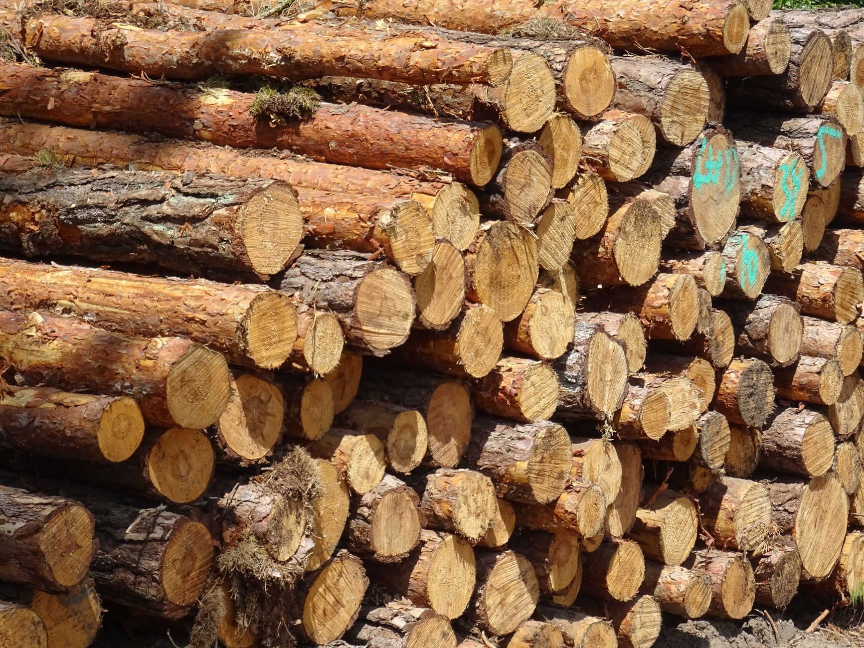
Test piles are simple. They have clean sides, a known shape, and a base the team set up on purpose. A working log yard has irregular logs, bark and debris, trucks moving through, loaders working the stockpile, and sometimes wet or frozen ground that changes what the camera sees between flights.
Several of the studies above found that the reference survey and ground control matter as much as the drone. The 9.8% gap on a real borrow pit shows how far a real comparison can drift when the baseline is weak. If your existing survey is a tape and a rough estimate, a drone model will be checked against a shaky baseline.
Stockpile shape also matters. Steep edges, overhangs and the top of a pile where logs stack unevenly are where a surface model is least reliable. Keep a short hand check list for those spots rather than dropping hand work altogether.
Ask for the surface model of one pile you already know well, and compare it with your existing numbers before accepting any batch of results.
What does a drone survey day look like?
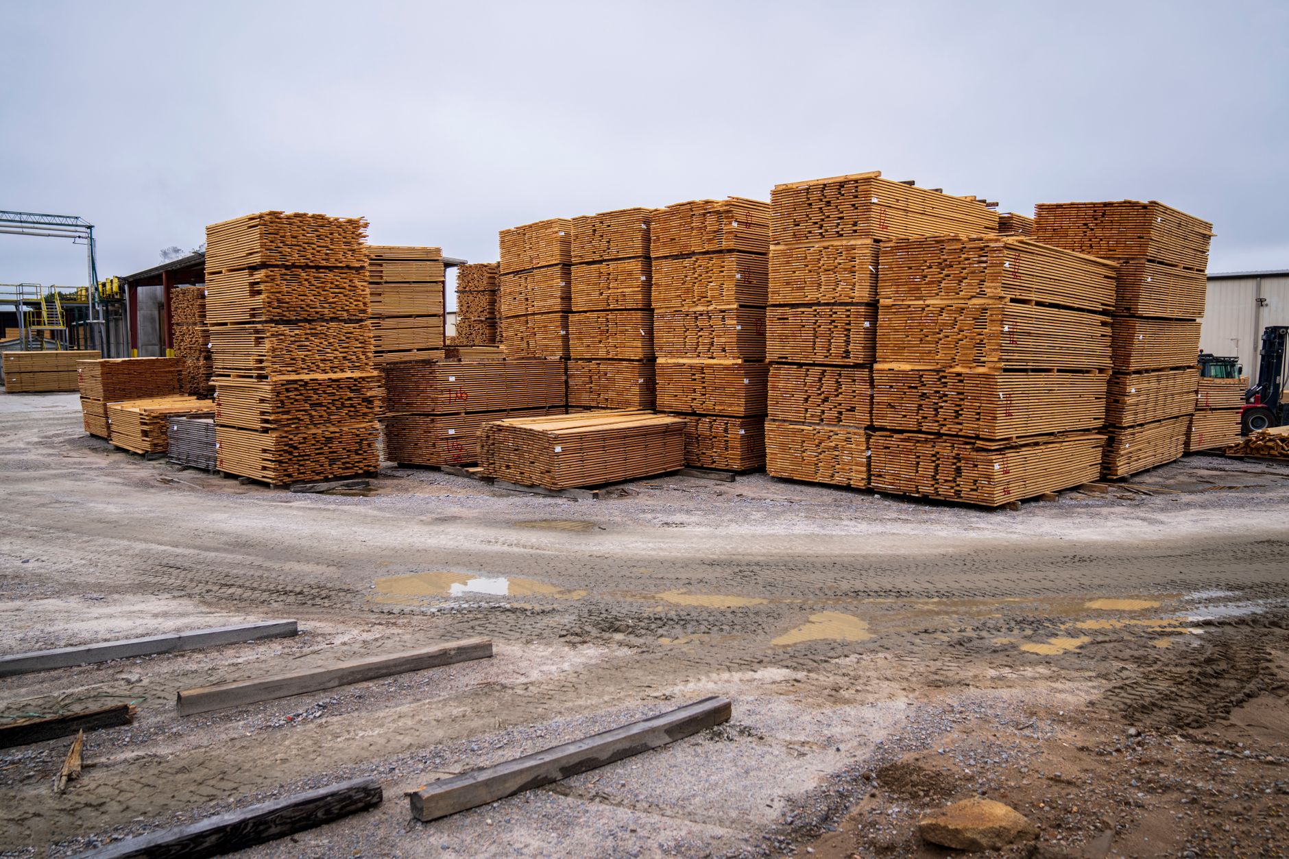
A survey day starts before the flight. Someone confirms the gate and truck schedule, marks the piles, and clears the areas that must stay clear while the drone is up. The flight is only one part of the day, and the processing and review that follow are where the count becomes usable.
The flight follows a plan. The drone flies a grid over the yard at a set height and overlap so the photos can be stitched into a surface. Straight down imagery is the planning choice the tests support for stockpiles, since it gave the lower error range in the Clemson tests.
After the flight, the processing run builds the surface, compares it with the base, and reports volumes for each pile. The yard lead checks those numbers against known deliveries and the hand checked piles, then signs off. That sign off is what makes the count usable, so it needs a named person, not a shared inbox.
Keep the raw photos and the processing report for every survey. When a count is disputed, those files let you trace a number back to the flight and the baseline, which a clipboard total rarely allows.
What does the drone workflow need on site?
Ground control means surveyed points placed across the yard so the model ties to real coordinates. The Estonian study found UAV photogrammetry accurate without them, but some yards still place a few ground points as a check, since they give the sign off team something objective to point at. Decide this at the first survey, not after a disputed count.
The yard also needs an airspace and safety plan. Drone operations in the United States generally require a certified remote pilot and compliance with Federal Aviation Administration rules for small unmanned aircraft. Check the latest FAA requirements directly before you plan flights, because limits and waiver rules change and this page does not list them.
Staffing is the other factor. The Bureau of Labor Statistics projects that logging jobs will shrink over the next decade, so yards may find it harder to keep full crews for manual counts. The BLS figures cover logging workers in general, not yard counting crews specifically, so treat that as context rather than a direct measure of your staffing.
How does drone surveying change exposure to logging hazards?
Logging is dangerous work. The BLS Occupational Outlook Handbook notes that logging has one of the highest occupational fatality rates, mostly from contact with machines or logs. A drone can reduce how often people walk the piles, though hand checks on flagged spots still put people near stockpiles, so the safety plan has to cover both.
The BLS counts about 40,400 logging jobs in 2025 and projects a 5% decline from 2025 to 2035. The same handbook lists about 5,000 openings a year from replacement and other needs, and about 29,300 of the jobs are logging equipment operators. An earlier edition of the handbook put employment at about 44,300 jobs in 2024, with a 2% decline projected for 2024 to 2034, so check which edition you cite.
A third-party summary reports about 1,700 workers in 2023 in the all other logging workers category. We did not verify that figure against the BLS, so use it as context only.
For the yard, the practical safety rule is simple. Fewer people on the piles for the same count is a real gain, so write the flight and hand check rules into the routine rather than leaving them to memory.
Where we fit, and how a lease would start
We are a vendor neutral integrator. For a yard like yours, that means we choose the survey setup that fits your stockpile layout, your flight rules and your reporting needs, rather than starting from one manufacturer's line. We lease the equipment through financing, deploy and integrate it with your count reporting, train your staff, and service the unit under our service plan.
The first step is a free site assessment. We walk the yard, look at stockpile layout and access, and review how your count works today. The lease payment is quoted after that assessment, so the figure reflects your yard and not a generic plan.
A pilot can run on one stockpile block alongside your existing crew for a few weeks. Compare the drone counts with hand counts and with delivery records, then decide whether to scale. If the pilot shows that hand checks are still needed on most piles, that is a useful answer too, and it tells you what the routine should be.
Ask for the response terms in writing. Under our service plan, regional service engineers handle every unit, and the quote should explain how a failed unit is handled while your count is delayed.
Frequently asked questions
Want a drone at your log yard stockpiles?
Tell us about your site. We will recommend the robot, quote the lease, and keep it serviced.
Sources
- BLS Occupational Outlook Handbook, logging workers
- BLS Occupational Outlook Handbook, earlier edition, logging workers
- Wagedex summary, Logging Workers All Other (third party, not verified against BLS)
- Njuli quarry drone volume study, Malawi, 2022 (summary text)
- Clemson AIC Journal, pyramid volume tests (Adjidjonu and Burgett, 2020)
- Frontiers in Built Environment, drone and conventional borrow pit survey study (Burgett et al.)
- Agronomy Research, UAV photogrammetry for stockpile volumes (2020)