Key takeaways
- Match the payload to the job: high-resolution RGB for erosion and cracks, radiometric thermal for bond-line anomalies, and repeatable flight paths for post-storm triage.
- Part 107 covers most line-of-sight work; routine blade runs beyond visual line of sight need an FAA waiver with a documented safety case, not just a bigger drone.
- U.S. land-based wind capacity reached about 161 GW by the end of 2025, so inspection programs must scale across dispersed sites, not one pilot with a handheld camera.
- Own the raw imagery, defect taxonomy, and turbine IDs in your contract; reporting software is useless if data cannot feed your CMMS or warranty claims.
- Nationwide field support matters when a spring storm stack hits multiple regions in the same week.
What should a wind-farm drone program actually deliver?
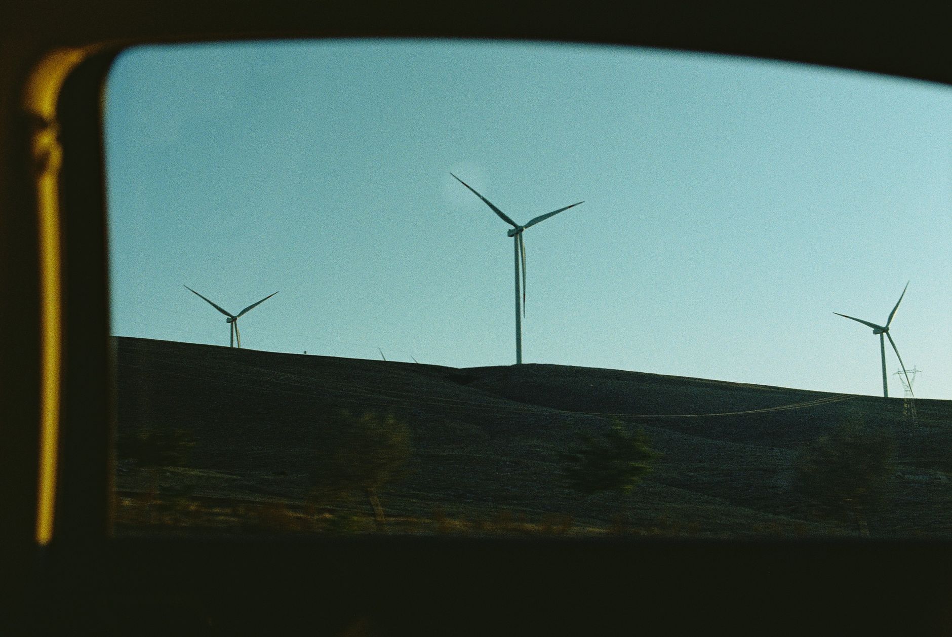
A useful inspection drone is not a hobby aircraft with a zoom lens. Operators need repeatable blade coverage, geotagged photos or video, optional radiometric thermal layers, and exports that maintenance teams can compare year over year. The platform should also support lightning-strike follow-up and post-storm triage when crews cannot climb every tower in a week.
Most buyers start with visual blade surveys, then add thermal passes where internal bond issues or moisture ingress are a concern. The same fleet may later cover collector lines, substation yards, or access roads, but blade imaging is the workload that justifies sensor budget and training.
If you read only this section, buy for defect reporting and airspace compliance first. Pretty video that never becomes a work order is theater.
Which sensors belong on the aircraft?
RGB cameras still carry most blade programs. Look for sufficient resolution to classify leading-edge erosion, gelcoat cracks, and lightning receptor damage without flying unrealistically close to the laminate. Fixed focal length rigs with calibrated overlap beat handheld gimbal shots when you need measurement consistency.
Radiometric thermal cameras help spot subsurface moisture or bond-line anomalies on some builds, but they require correct emissivity settings and wind-aware flight planning. A thermal pass without a baseline RGB survey is hard to defend in a warranty discussion.
LiDAR or photogrammetry payloads appear on larger turbines and repowering projects where tower clearance or tip deflection matters. Treat them as add-ons, not defaults, unless your engineering team already has a modeling workflow.
- Define minimum ground sample distance targets per blade segment before you accept vendor demos.
- Require simultaneous capture of turbine ID, blade clock position, and GPS metadata on every image.
- Specify whether infrared is radiometric or relative-only; relative heat maps are not enough for some OEM reviews.
How much wind can the aircraft tolerate?
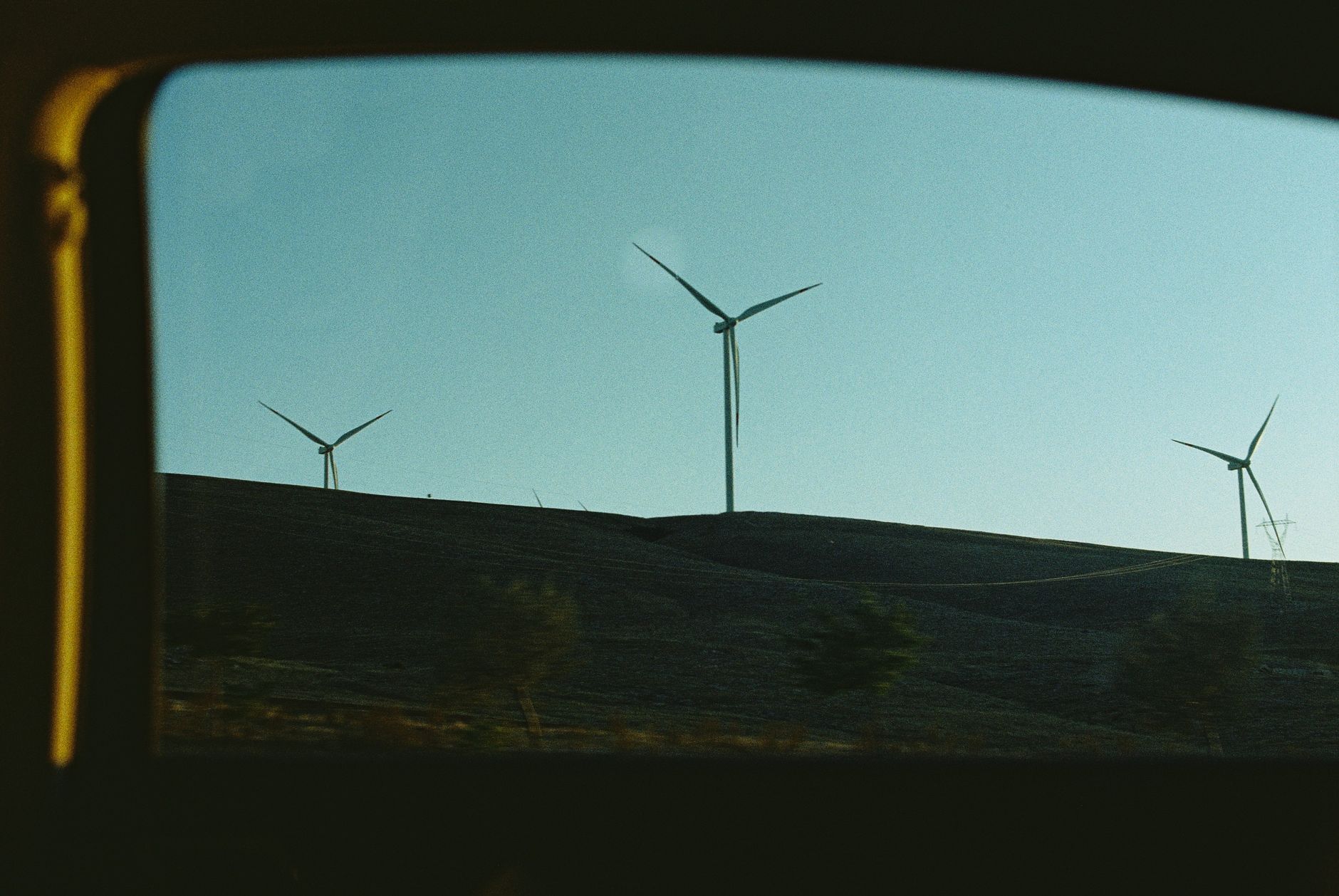
Published wind limits vary by airframe and payload, but farm operations should plan around conservative cutoffs. Gusty ridge lines and sea-breeze fronts near coastal projects routinely exceed what a light multirotor can stabilize for oblique blade passes.
Fixed-wing or hybrid vertical-takeoff platforms sometimes carry heavier cameras with better endurance, yet they need larger launch and recovery zones at the tower pad. Multirotors win on tight pads; fixed-wing wins on long transects across wide sites.
Write your standard operating procedure around measured gusts at hub height, not ground weather alone. A handheld anemometer at the truck is a sanity check, but the decision to scrub should follow the site anemometry when it exists.
What flight permissions apply in the United States?
Most vendor demos occur under Part 107 with the remote pilot maintaining visual line of sight. That fits single-tower work near the pad, but many blade programs want automated orbits that extend beyond what the pilot can see without aids.
The FAA issues Part 107 waivers for operations that deviate from rules such as visual line of sight under 14 CFR 107.31. Waiver packages require a safety case, risk mitigations, and often detect-and-avoid or shielded operations near infrastructure. The FAA also notes that LAANC alone does not substitute for airspace authorization on waivered missions.
In August 2025 the FAA published a notice of proposed rulemaking to normalize broader beyond-visual-line-of-sight operations under a future Part 108 framework. Until final rules land, treat BVLOS blade automation as a waiver-driven program with legal review, not a catalog feature you toggle on day one.
How often should blades be flown?
Offshore inspection guidance summarized by the U.S. Bureau of Safety and Environmental Enforcement recommends annual blade checks with more detailed intermediate inspections on a three to five year rhythm, plus additional looks when damage is suspected. Onshore fleets often blend OEM maintenance cycles with owner-driven annual drone passes after storms.
Lifetime-extension planning documents from European industry groups commonly cite independent inspections on five-year cadences for aging fleets, with tighter intervals when internal blade access is limited. Your program should map flight frequency to warranty terms, insurance requirements, and regional storm exposure, not to the drone vendor's marketing calendar.
After lightning or hail events, prioritize turbines on the storm track even if they are not due in the annual schedule. Geotagged repeat flights make it easier to separate fresh damage from scars documented last season.
What defect reporting should the software produce?
Insist on a defect taxonomy your reliability team already uses: leading-edge erosion severity, crack length classes, drainage hole blockages, tip damage, and lightning receptor hits. Generic heat maps without severity rules force engineers to re-annotate every flight.
Reports should tie each finding to blade clock position, distance from root, and prior inspection IDs. Export formats matter: CSV or JSON for analytics, PDF for landowners, and original imagery archived in your object store, not locked inside a SaaS viewer.
Clarify data ownership in the contract. You should receive unencrypted raw media, flight logs, and processing outputs even if you also license analytics software.
Who supports multi-site fleets when weather windows collide?
According to the American Clean Power Association, the U.S. added 6,944 MW of land-based wind capacity across 34 projects in 2025, bringing cumulative utility-scale wind to about 160,881 MW. That scale spreads turbines across plains, ridgelines, and coastal corridors where the same crew cannot be everywhere after a severe weather week.
Service Robot Co. approaches inspection hardware the same way it handles ground robots: vendor-neutral selection, financing, deployment playbooks, pilot training, and nationwide field support through a single integrator contract. We can pair drone programs with ground-based patrol or cleaning assets where a site needs both tower imaging and yard security.
For a first season, run a paid pilot on one region with defined acceptance criteria: percent blade surface covered, maximum wind flown, waiver status, and time from landing to CMMS-ready defects.
What belongs in the purchase checklist?
Ask each bidder for demonstrated flights at your hub height and rotor diameter, not a generic brochure turbine. Request sample exports from a comparable fleet and have your blade engineer score them blind.
Confirm spare batteries, propellers, and sensor calibrations are stocked regionally. Downtime during a two-week spring inspection window costs more than the aircraft list price.
Document escalation paths: remote assistance during flight, on-site repair SLA, and loaner aircraft if a gimbal fails mid-campaign.