an underground iron-ore mine
How an Underground Mine Cut Ore-Pass Mapping from 8 Hours to 20 Minutes
An underground iron-ore mine cut each ore-pass inspection from about eight hours to twenty minutes with a lidar drone, improving data quality across forty passes.
- 8→20 min
- Per ore pass
- 40
- Ore passes
- 300-350m
- Shaft length
- 4K+LiDAR
- Data capture
Based on a documented real-world deployment. Figures are from public reporting; the organization is not named.
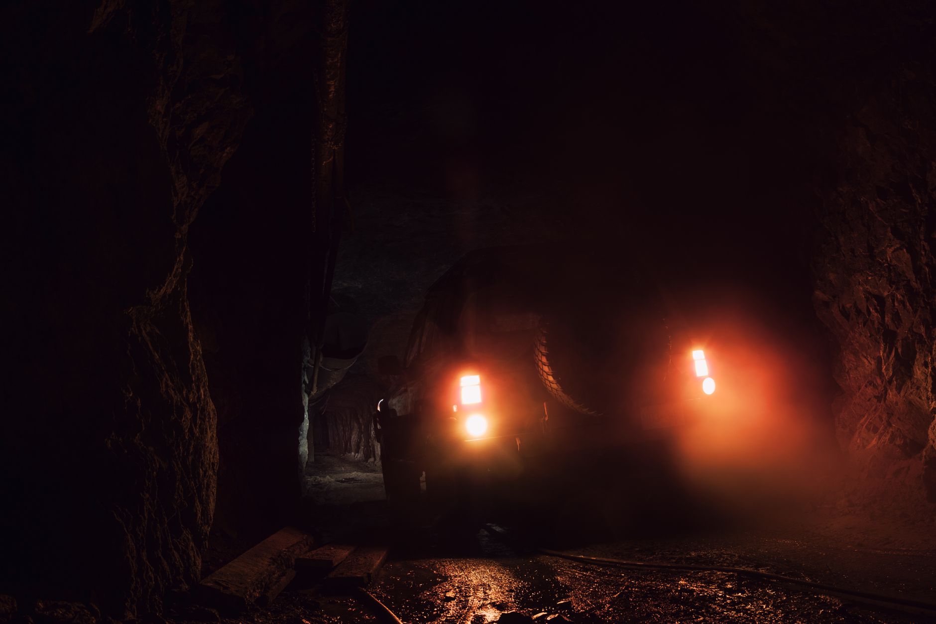
Vertical shafts with no safe entry
Forty ore passes move broken rock between levels in this iron ore operation. Constant impact wears walls and can block flow, so geometry and condition must be tracked even though personnel cannot enter the shafts.
Legacy work lowered heavy camera wagons on cables with laser scanners. A team of two needed about eight hours, a full shift, to inspect one pass and still missed shadowed areas in the point cloud.
- No manual entry in steep ore passes
- Slow cable lowered scanner rigs
- Incomplete coverage from shadowing
Confined space drone with surveying lidar
Mine engineers adopted a collision tolerant indoor drone built for dusty, tight volumes. One pilot flies from the collar while the aircraft collects 4K video and centimeter grade lidar in the same pass.
High capacity batteries let crews scan three hundred to three hundred fifty meter passes in one flight without stitching flights afterward. The same platform later inspects crushers, silos, and other gear that once needed scaffold.
- Train a single pilot per inspection
- Fly the full shaft height in one sortie
- Export a 3D point cloud for planners
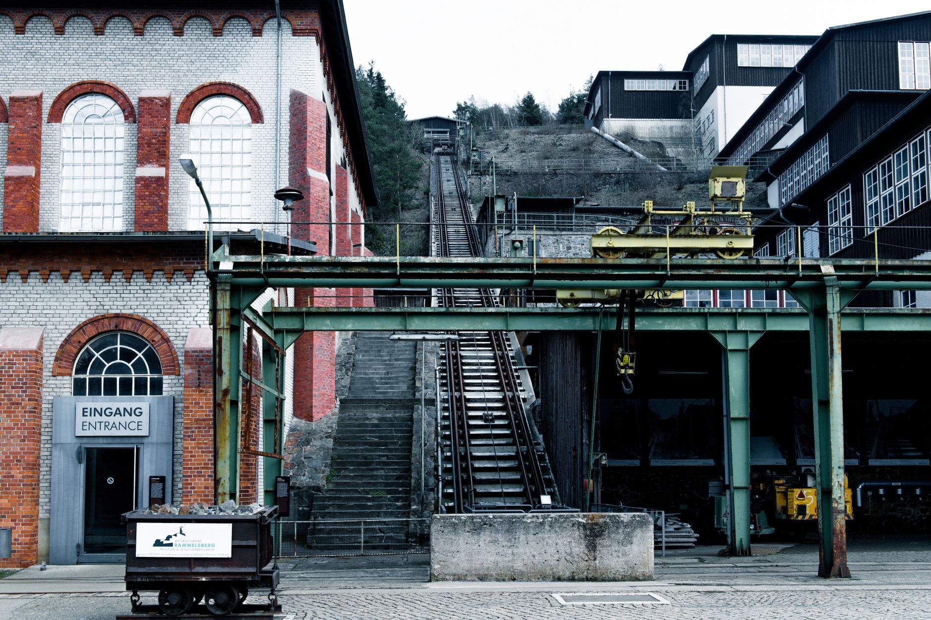
Hours back on every pass
Each ore pass inspection fell from about eight hours to roughly twenty minutes with the drone workflow. Leadership reported roughly seven hours saved per pass while capturing more accurate, more detailed models than the old wagon method.
Faster scans shorten pass downtime and keep geotechnical teams out of hazardous edges at the collar. Engineers said the new data sets are easier to compare between inspection cycles when they watch wear trends.
What this means for mining inspection programs
Underground metal mines often own dozens of vertical transfers that never fit a standard crawler program. Inspection robot rental or lidar drone pilots let you prove twenty minute cycles on one pass before you retrain the whole survey crew.
Service Robot Co. is a vendor neutral integrator for confined inspection drones and supporting ground teams. We help you finance, deploy, train pilots, and maintain aircraft through a nationwide service network so one partner covers the full lifecycle.