
The short answer
Drone cost in Louisville/Jefferson County depends on how much roof, lot or building area a drone must cover, how many flight and review hours each job takes, and what mapping, software and service the work requires. We measure those inputs at a free site assessment and build the lease quote from them, so the figure reflects your buildings rather than a generic estimate.
Key takeaways
- The lease quote is built from measured site area, flight frequency, data needs and service scope.
- A vendor pricing guide puts drone capture of a comparable roof at 30 to 60 minutes, against 2 to 4 hours by hand for large roofs.
- Mapping, processing, training, insurance and maintenance are the costs most drone comparisons leave out.
- Listed industrial space in the metro ranges from about 41,568 to 396,422 square feet, so site size varies widely.
- Weather and airspace limits cut flying days, so schedules should carry a buffer before any lease starts.
Drone cost in Louisville/Jefferson County: what it depends on
A drone program in Louisville/Jefferson County is priced by the job it has to do. Two sites on the same street can land far apart on a quote, because one is a small showroom roof and the other is a large distribution roof with rooftop units, skylights and parapets. The useful question is not what a drone costs in general. It is how many hours of coverage, mapping and review the site needs, and how often.
We measure that load during a free site assessment. We walk the property, record roof surfaces and obstacles, check any controlled airspace, and note how often the data must be refreshed. The lease quote is then built from those inputs, with the financing term and service scope stated line by line.
Adoption data points the same way. Drone Industry Insights' Global State of Drones 2025 surveyed 768 respondents across 87 countries, and secondary coverage of that survey reports that saving time has overtaken safety as drones' top selling point. Time saved is the number to test against a lease, and it is the number this page focuses on.
What moves the cost up or down at a Louisville site?
Area is the first driver, but it works through flight time. A roof or lot that one flight and a few battery sets can cover costs less to run than one needing repeated battery swaps, a second crew member or a return visit for missed corners. Flight time per job is the number that compounds across a schedule.
Surfaces and obstacles come next. Metal roofs, rooftop units, parapets, solar arrays, power lines and tree cover all lengthen flight planning, and they can force lower altitude passes that take more time. Open warehouse lots are usually the simplest to fly, while mixed campuses take longer to plan.
Two roofs of similar area can carry very different workloads. A flat membrane roof with few obstacles and a roof covered in rooftop units need different flight plans and review time, so the lease scope grows even when the square footage looks the same.
Frequency, data outputs and backup coverage decide the rest. A one time survey takes far less planning than a quarterly schedule. Orthomosaic maps, three dimensional models and thermal outputs need more processing and software than a visual check, and a spare unit or dispatch terms change the service scope.
Which Louisville businesses fit drone work, and what do their buildings look like?
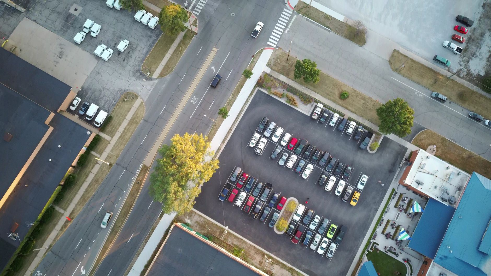
Louisville/Jefferson County has a large industrial building stock, and the listing record shows the range. Listed industrial space runs from a 41,568 square foot building on West Jefferson Street, which its listing says has vacancy under 4 percent, up to a 396,422 square foot facility on Interchange Drive. One Jefferson Trade Center listing describes 361,900 square feet across eight buildings, the kind of multi-roof campus where drone scheduling matters most. Listing figures measure listed space, not roof area, so treat them as a guide to scale.
Businesses that tend to fit this building stock include warehouse and distribution operators, light manufacturers, property managers running multi-building campuses, and commercial roof owners. Each has its own reason to fly. Warehouses want roof condition and yard maps, property managers want repeat inspections across buildings, and manufacturers often want site maps before expansion work.
Small offices and restaurants rarely need a drone for this work. The economics there are weak unless a specific roof or site problem justifies the flights. Weather also shapes the flight calendar here, so the assessment records seasonal limits instead of assuming ideal days.
What does the Louisville labor market look like for drone work?
Public labor data gives context, but it does not measure drone work directly. The Bureau of Labor Statistics reported a civilian labor force of about 706.5 thousand in September 2026, preliminary, down from about 714.5 thousand in July. Louisville Metro's Q1 2026 economic statistics report put metro unemployment at 4.2 percent for January 2026. USAFacts, summarizing BLS data, put Jefferson County unemployment at 5 percent in May 2026, up 0.7 points from May 2025. These are different measures and should not be added together.
Employment changes point toward a softer market. USAFacts reports the metro lost about 1,200 jobs in June 2026, against an average gain of about 653 jobs a month over the past five years. FRED shows leisure and hospitality employment at 70.9 thousand in March 2026, and local government employment at 51.0 thousand.
Two practical points follow. A softer general job market can make it easier to recruit people for a pilot or coordinator role. But trained drone operators form a narrower group, and the research we gathered found no separate count for them. For that reason the quote should say who is trained to fly and who signs off on the output, since on a small roof program one person often does both.
How many hours does drone work take, task by task?
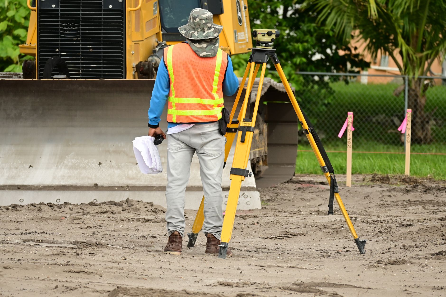
Hour figures carry the cost case, and most public numbers come from vendors. A vendor pricing guide puts a small commercial roof survey at 1 to 2 hours of work and a large or complex one at 2 to 4 hours. The same guide says a drone can gather comparable roof data in 30 to 60 minutes, against 2 to 4 hours for a traditional inspection.
A vendor blog modeled a strip center with 38 rooftop units. It estimated 0.7 pilot hours and 0.4 review hours by drone, against 6.5 technician hours walking the roofs by hand. That is one modeled example, not a survey, so use it as a planning case and replace it with the count for your own roofs.
Our research found no Louisville-specific hour data. One local drone vendor page says most local firms price by square footage, and it gives no hours. The table below uses only the figures verified above, and the site assessment replaces them with measured numbers for your buildings.
| Task | Today | With a robot |
|---|---|---|
| Survey a small commercial roof | 1 to 2 hours of work | 30 to 60 minutes of drone capture for comparable roof data |
| Inspect a large or complex roof | 2 to 4 hours of work | 30 to 60 minutes of capture, plus review time |
| Survey 38 rooftop units on a strip center | 6.5 technician hours | 0.7 pilot hours and 0.4 review hours |
Hour figures come from a vendor pricing guide and one vendor blog's modeled example, not from Louisville surveys. No Louisville-specific hour data was found, so the site assessment replaces these with measured numbers for your buildings.
What can a drone not do in Louisville?
Drones have limits, and a quote should say so. Wind, rain and low visibility stop flights, and the research we gathered found no Louisville study of local weather effects on drone flying. Build schedules with a buffer of lost weather days rather than assuming each planned flight happens on its date.
They also cannot replace every inspection. A drone captures roof and surface condition well, but it does not replace hands on structural testing, interior moisture checks or sign-off by a licensed engineer. Close range thermal checks may still need a person on the ground or on a lift.
Regulation shapes what is legal. Commercial flights fall under FAA remote pilot rules, and the pilot in command needs the appropriate certificate. We did not verify a current count of active certificates, so none is stated here. Flights near airports or in controlled airspace can require authorization, and we check that during the site assessment.
How does leasing through financing work, and what does the quote include?
We do not sell robots. Our model is a lease through financing, which gives a business a fixed lease payment over the term, with no large payment up front. The quote is issued after a site assessment, so the payment reflects your roofs or lots, flight schedule and service needs rather than a generic catalog figure.
A complete quote shows the drones included, the financing term, the mapping and software scope, training, deployment and integration, service and dispatch terms, and whether a spare unit is covered. It should also list what you provide, such as site access, a staff contact and a network connection for data upload. Ask us to show anything that is not included.
Compare the quote with hours, not with a rate card. If the program replaces 6.5 hours of walking the roofs for a single campus, or cuts repeat inspection trips, that is the number to weigh against the lease. Get the quote in writing before any flying is scheduled.
How do I get a quote for drone work in Louisville/Jefferson County?

Start with the free site assessment. Send a list of buildings or lots, the surfaces you need covered, how often you need data, and any insurance or airspace requirements you already have. That lets us size the job and find the questions that change the quote.
After the assessment you receive a written quote with the lease payment, the term and the service scope. Ask for the hours behind it, including flight time, battery and setup time, and review time, so you can check the numbers against your own schedule.
If you want to test one roof or lot first, a pilot on a single site is a sensible start. It gives you measured hours to compare with the quote for the rest of your portfolio.
Frequently asked questions
Upcoming events in Kentucky
Put a robot to work in Louisville/Jefferson County.
We walk your site, learn the job, and recommend the unit that fits. Then we quote the lease, deploy it, and keep it serviced.
Sources
- Bureau of Labor Statistics, Louisville metro area profile
- Louisville Metro Economic Statistics Report, Q1 2026
- USAFacts, metro jobs added, Louisville
- USAFacts, Jefferson County unemployment rate
- FRED, leisure and hospitality employment, Louisville metro
- Vendor roof inspection pricing guide
- Vendor blog, modeled rooftop inspection example
- Drone Industry Insights, Global State of Drones 2025 (secondary report)