
Key takeaways
- Aerial passes map thermal and color imagery across thousands of modules per day.
- Maintenance teams get geo tagged findings instead of handwritten row notes.
- Flights run while the plant produces power when irradiance and safety rules allow.
- Leasing through financing pairs aircraft, sensors, and integrator support after a site assessment.
How do drones help solar power plants?
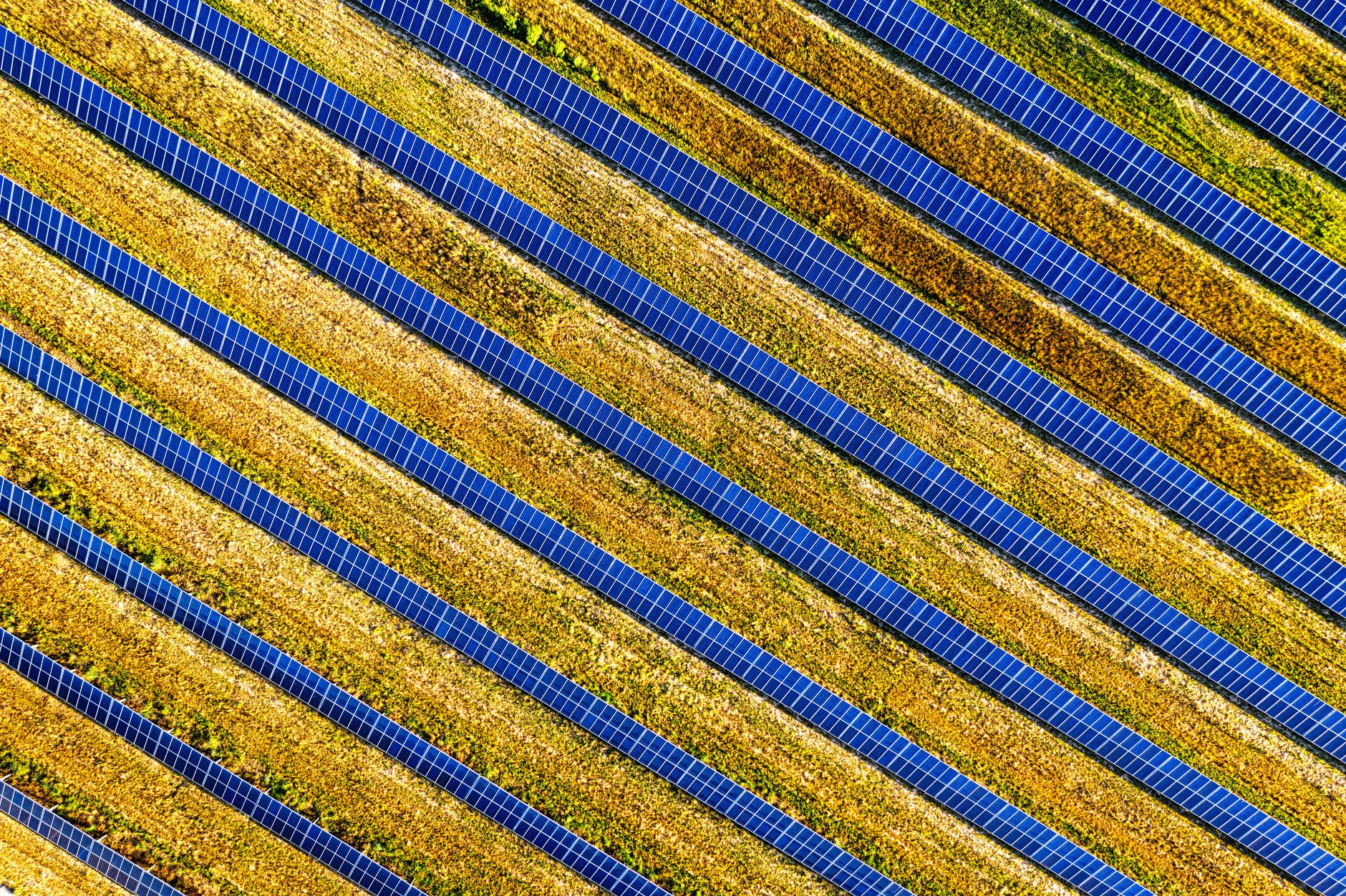
Drones for solar power plants carry thermal and color cameras above fixed arrays to spot abnormal heat, cracked glass, and soiling patterns that are slow to see from the ground.
Utility scale sites span hundreds of acres, so manual walks take weeks while production issues hide in the middle of strings. A programmed flight grid covers rows in hours and leaves a repeatable record for the next season.
Plant managers use the output to prioritize truck rolls for technicians instead of guessing which blocks might be underperforming.
The aircraft does not replace electricians or vegetation crews. It shows where they should climb, test, and trim first.
Repeatable flight paths mean next year's analyst can overlay last season's heat map and see whether a cleaning contract actually worked.
Owners with performance guarantees watch capacity factors closely. Aerial surveys give an independent view of field health that complements inverter level data when a block underperforms but alarms are quiet.
Why is ground inspection slow at large arrays?
Technicians on foot move row by row with handheld tools while the sun angle and heat slow progress. Missed rows are common when schedules slip during summer peaks.
According to a review in MDPI Technologies, researchers compared manual inspection of a twenty megawatt peak plant with a UAV survey and reported about two hundred twenty hours for human inspection versus about four hours of UAV flight for comparable coverage.
Large owners also cite safety: fewer trips across uneven gravel, less time on sloped sites, and fewer lone workers far from shade.
When storms drop dust or pollen, soiling shows up unevenly. Aerial color photos reveal streaks that string level monitoring alone might blur.
Insurance and warranty teams increasingly ask for dated imagery when modules fail early, which gives aerial programs a paperwork role beyond operations.
Walkdown crews also struggle to see micro cracks on backsheets without lifting modules. Color imagery from above highlights glass glare patterns and edge chips that prompt closer handheld checks only where needed.
Which plant areas do drones survey first?
Operations teams usually map the main DC field blocks, combiner areas, and inverter stations from the air before trying substation yards.
Perimeter fencing, access roads, and tracker motors may join later flights once the core energy field workflow is stable.
Vegetation encroachment along fence lines appears in the same pass when color resolution is high enough for planners to ticket mowing.
Sites with single axis trackers schedule flights when modules are at a known tilt so thermal readings stay comparable flight to flight.
Water channels and berms show up clearly from above after monsoon rains, helping civil crews plan grading before access roads wash out.
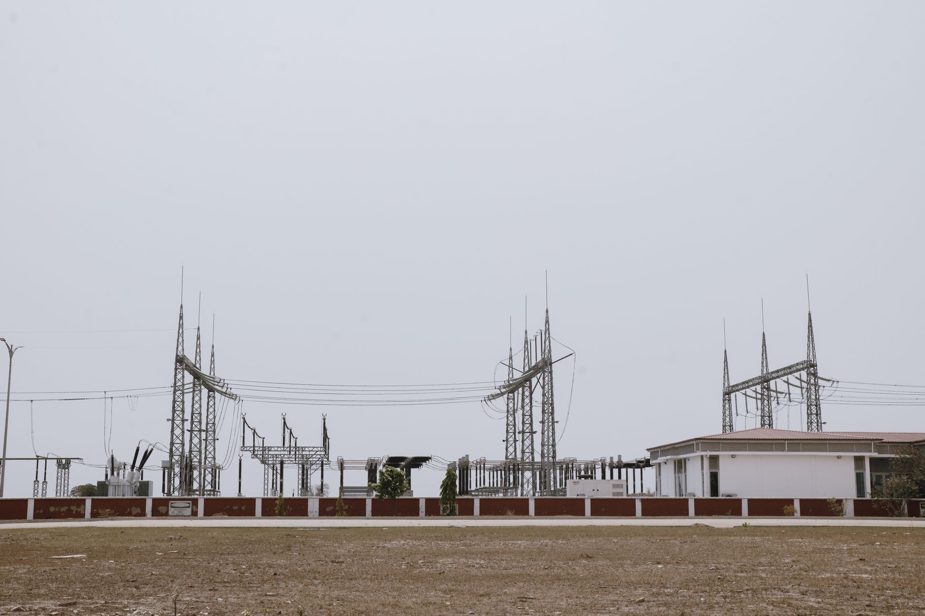
Substations may stay on a slower cadence because access rules differ, yet a quick color pass still documents oil leaks on transformers or broken insulators visible from the fence line.
What does a survey day look like?
Morning briefings check wind, irradiance, and airspace notices. Pilots or docked systems launch when light is steady enough for thermal contrast.
The drone follows a lawn mower pattern above rows while cameras trigger on interval. Ground crews stay out of the flight box except for spotters at road crossings.
After landing, imagery uploads to analysis software where algorithms flag hotspots and string level issues for human review.
Maintenance leads receive a punch list sorted by severity and map coordinates for the next truck route.
If a cloud front moves in, pilots land early and reschedule rather than forcing low contrast data that would waste analyst time.
Spotters with radios stay at road crossings to pause flights if a delivery truck enters the buffer. That human layer keeps autonomous paths compatible with active construction or grazing leases on shared ranches.
How do drones work with O and M staff?
Performance engineers interpret findings against SCADA trends. Technicians still isolate strings, replace modules, and torque connectors on the ground.
Vegetation contractors receive geotagged brush patches without walking the full fence line each month.
Safety officers like that fewer people wander deep into energized fields during peak heat.
When a flight finds nothing critical, that record still proves proactive care for owners and insurers.
Control room operators appreciate fewer surprise inverter trips because field teams cleared flagged modules before heat spread to neighboring strings.
Training sessions pair desk analysts with senior technicians so everyone agrees on severity tags before work orders export to the maintenance system.
Where do hours and truck rolls change?
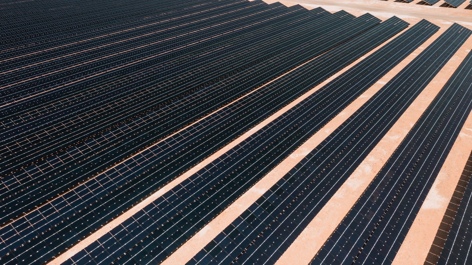
According to enterprise field reporting on a one hundred eighty one megawatt direct current site in Texas, a docked system collected data at roughly five megawatts per hour using standard inspection guidelines, implying full site capture in about six working days at six flight hours per day.
Your pace will differ with terrain, cloud cover, and airspace waivers, yet the order of magnitude beats full manual walks for the same acreage.
Teams redeploy saved walk hours to corrective work rather than searching for problems.
Repeat flights each quarter show whether cleaning or repairs actually fixed the anomaly.
Document truck roll counts before and after the first flight season so finance sees fewer repeat visits to the same block.
Seasonal soiling in desert sites can return within weeks, so flight cadence often tracks pollen blooms and harvest dust rather than a single annual calendar date.
What should you not expect from aerial surveys?
Drones do not torque connectors, replace fuses, or clear inverter faults by themselves. They inform the work order, not close it.
Thermal flights need adequate irradiance. Early dawn or heavy cloud days produce weak contrast and false calm.
Regulatory airspace rules, neighbor privacy, and wildlife nesting seasons can pause flights regardless of O and M urgency.
Software still needs human confirmation before a truck rolls, especially on borderline heat signatures.
Night flights are rare for thermal work because modules need solar loading to show resistance related heat.
Borderline findings still require electrical isolation tests. Treat aerial heat as a screening tool, not a final diagnosis.
How does financing and deployment work?
Service Robot Co. acts as a commercial robot integrator in the United States. We help select aircraft and sensor packages, lease them through financing, train pilots or dock operators, and service gear nationwide.
A free site assessment reviews array layout, access roads, radio interference, and local flight rules before the first grid is drawn.
Quotes follow that walkthrough and reflect fleet size, analysis software, and support level. There is no single public price for every megawatt.
Integrators can pair flights with media library training so new technicians read thermal maps the same way.
Spare battery kits and dock shelters are part of the lease conversation when summer temperatures shorten flight windows.
Regulatory paperwork for beyond visual line of sight waivers may ride with the integrator so your internal legal team reviews one packet instead of many vendor forms.
How do you get started?
Bring a single line diagram, recent performance report, and list of known trouble blocks to the first meeting.
Pilot one substation field or fifty megawatt block before spanning the whole ranch.
Request a free site assessment to see if drones for solar power plants fit your acreage and compliance needs this season.
Coordinate with the grid operator on any notification rules before the first launch day.
Landowners and grazing tenants should know flight windows so cattle or equipment stay outside the safety buffer.
List nearby airports and heliports on day one so airspace research does not delay the pilot block you already booked.
What should owners measure after the first flight?
Compare megawatt hours recovered on blocks that were repaired from flight findings versus blocks still on the watch list.
Track technician hours spent walking versus flying per quarter.
Log false positive rates so analysts tune thresholds instead of ignoring alerts.
Store imagery so warranty conversations include dated proof of module condition.
Share a short summary with asset managers who do not read raw thermal files so funding for repairs arrives faster.
Compare capacity factor changes on repaired blocks against control blocks that were not flown to justify the next season's flight budget.