
The short answer
Drone cost for irrigation canals depends mainly on how many miles of canal bank each flight must cover, how often the district flies after storms or for seepage checks, and which sensors and data work the job needs. Airspace near towns, access along the alignment, and how the findings feed existing maintenance records also move the number. We quote a lease after a free site assessment, so the figure reflects your canal rather than a generic estimate.
Key takeaways
- Miles of canal bank per flight is the biggest lever on the job.
- Storm response and seepage checks set how often the drone flies, and frequency drives the annual total.
- Sensor choice and image analysis add work after the flight, so both belong in the quote.
- Airspace near populated reaches and weather limits need planning and a ground backup.
- A lease quote follows a free site assessment and lists what is included.
What does drone cost for irrigation canals depend on?
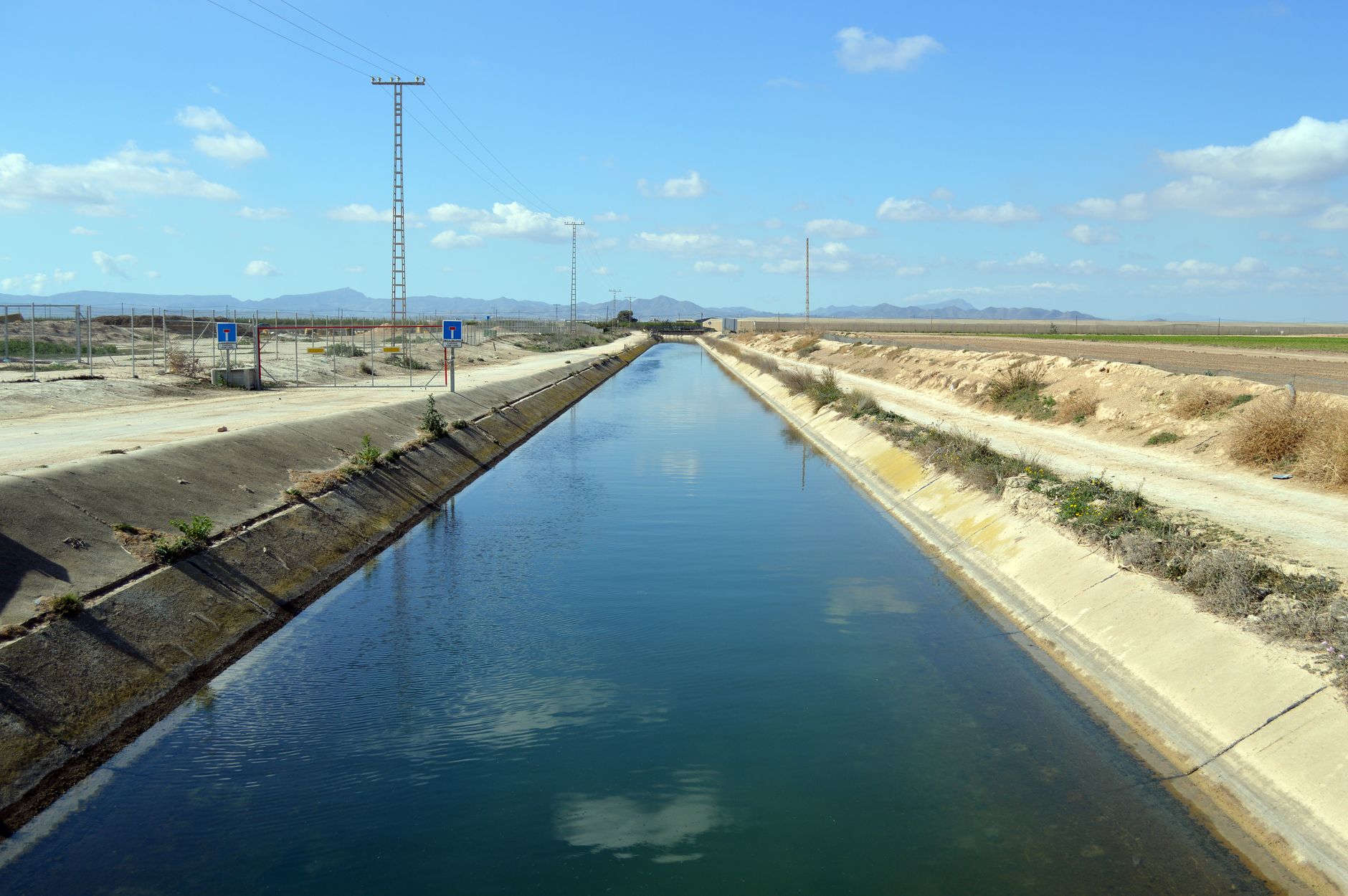
Drone cost for irrigation canals is set by the work each flight has to do, not by the aircraft alone. A canal is a long, narrow line, so the main inputs are how many miles of bank a mission covers, how often the district needs a flight, what sensors it carries, and how much analysis the findings need before a crew can act on them.
The scale is large. According to the US Bureau of Reclamation's fact sheet, the agency owns roughly 10,000 miles of irrigation canals. The USDA's 2023 Irrigation and Water Management Survey, published October 31, 2024, counted 212,714 farms that irrigated 53.1 million acres. USDA's irrigation highlights also report that gravity systems covered 18.3 million acres on 67,994 farms.
Those acres are served by canal systems run by many different districts and companies, and each system has its own length, layout and access. Two systems of similar length can still price differently. A short reach checked after a storm is a different flight from a long lateral walked for seepage across a season.
Which factors push drone cost for irrigation canals up or down?
Alignment length and access come first. Coverage per flight is limited by battery time and by the reach the crew can safely launch and recover from. Access points, road crossings and bends around towns each add planning steps before the aircraft leaves the ground.
Airspace is next. According to the Bureau's conveyance page, more than 800 miles of its canals cross or sit near populated areas. Those reaches need more pre-flight checks and tighter flight planning, which adds crew time to every mission on them.
Sensors change the job. A 2022 proof-of-concept by Traore, Fipps, Swanson, Dufek and Murphy combined visual, thermal and multispectral imagers on small unmanned aircraft. The team processed 46,387 images, identified all known leaks, and also found leaks that district staff did not know about. Each added sensor adds capture time, and the images need analysis before anyone acts on them.
Frequency matters most for the annual total. A drone flown only after major storms costs differently from one that also runs routine seepage passes through the irrigation season. Emergency call-outs change staffing too: one Oregon district posting pairs its 40-hour week with on-call emergency coverage from April 1 to October 31.
How many hours does canal patrol take today?
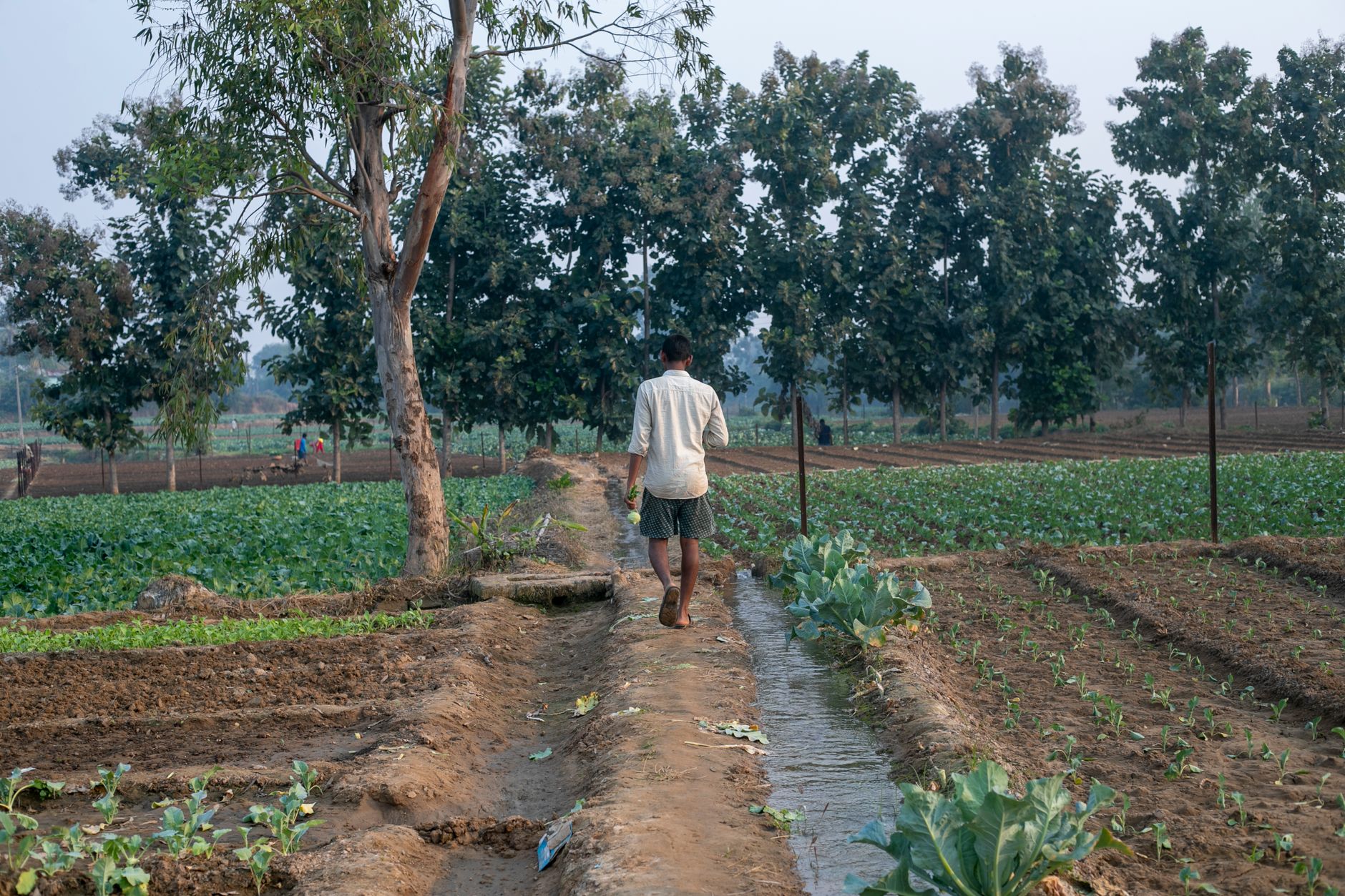
We could not find a measured survey of ditch rider hours or canal patrol time. Job postings give the best available picture, but they describe schedules rather than timed tasks, so treat them as a starting point.
One Oregon district's job description calls for a 40-hour week that may include weekends, plus on-call emergency coverage from April 1 to October 31. A second Oregon irrigation district's posting puts off-season work at 35 to 40 hours a week, and says that in season the role may be on call 24 hours a day, 7 days a week.
An Idaho canal company's posting lets riders set their own schedules in season but requires seven days a week of work, with extra hours in bad weather. Read together, the postings suggest that hours follow storms and seepage concerns rather than a fixed daily route.
What can a drone not do on a canal?
A drone finds signs at the surface and in thermal and multispectral imagery. It does not repair a slump, clear a headgate or operate a check structure. Those jobs still need a crew with equipment on the ground.
Vegetation and water conditions limit detection. Dense cover can hide a wet spot, and sensors read surface signs without confirming what is happening underneath. Every flagged spot still needs ground verification before a repair is scheduled.
Weather is the hard limit. Wind, rain and low visibility can ground flights, and those are the same conditions that trigger storm checks. A district that relies on aerial passes alone for storm response needs a ground plan as well.
The findings are only as useful as the records they feed. Without a baseline and a consistent reach numbering system, the district gets images but no clean comparison over time. A 37th IAHR World Congress paper by Muhammad and colleagues covers UAV inspection of canal siltation, which is a separate question from seepage. We could not retrieve its abstract, so we draw no conclusions from it here.
How does leasing work through financing?
Through our financing program you lease the equipment and make a fixed lease payment set in the quote. The payment spreads the cost over the lease term, so there is no large equipment cost to pay up front.
We are a US commercial robot integrator. We pick the right platform for the site, lease it through financing, deploy and integrate it, train the staff and service it nationwide. For canal work, that means matching sensors and flight routines to your reaches before any lease is signed.
What should a canal drone quote include?
A quote is only useful if it describes your system. Ask that it name the reaches, the flight frequency and the records the findings will feed, not just the aircraft and a term length.
Compare quotes on the same reaches and the same storm assumptions, or the numbers will not line up.
How do you get a quote after a free site assessment?
Start with a free site assessment. We review your canal map or alignment files, walk the highest-risk reaches with your staff and note airspace and access limits. The output is a site plan, a sensor recommendation and a lease quote.
The quote follows the assessment, so it reflects your alignment, your storm history and your records rather than a generic average. If you want to test first, we can start with one aircraft on a few reaches and expand once the results are reviewed with your team.
Send the miles covered, the storm history and the records you use now before the visit. That lets us size the work and bring the right sensors to the site.
Frequently asked questions
Want a drone at your irrigation canal?
Tell us about your site. We will recommend the robot, quote the lease, and keep it serviced.
Sources
- US Bureau of Reclamation fact sheet
- US Bureau of Reclamation water conveyance page
- USDA NASS 2023 Irrigation and Water Management Survey press release
- USDA NASS irrigation highlights
- Oregon irrigation district ditch rider job description
- Oregon irrigation district ditch rider maintenance job posting
- Traore et al. 2022 canal leak detection research record
- 37th IAHR World Congress canal siltation UAV paper