
The short answer
Drone cost for dairy farms depends on how much pasture and fence line the drone must cover, the flight rules that apply to those routes, the sensors and software the work needs, and the service behind the unit. Route length and any flights beyond visual line of sight usually move the number most, so the lease quote follows a free site assessment that maps the ground.
Key takeaways
- Drone cost for dairy farms turns on covered ground, flight rules, sensors and service scope.
- Fence line checks and pasture scouting are where aerial passes save the most walking time.
- Flights beyond visual line of sight generally need a waiver, so route design can change the quote.
- Mapping, software, maintenance, insurance and training are the costs most often missed in planning.
What does drone cost for dairy farms depend on?
Drone cost for dairy farms depends on four things: how much pasture and fence line the drone must cover, the flight rules that apply to those routes, the sensors and software the work needs, and the service behind the unit. Ground covered usually does the most to move the number, because a small paddock system and a multi-pasture operation spread over many miles call for different routes, different flight days and different review time.
This page gives no figure on purpose. The lease quote comes after we assess the site, because the same herd size can need very different flight plans depending on the layout, the terrain and the checks your crew already runs. The drivers in this guide show where the number moves, so you can ask the right questions when the quote arrives.
Sector context helps size the question. According to a dairy industry newsletter citing the USDA February 2026 Milk Production report, licensed dairy herds in 2025 totaled 23,609, down 4.2% from 24,645 in 2024. Trade coverage of the same report put average herd size at 397 cows, up from 377. Larger herds often mean more ground and more fence per operation, though national herd counts do not measure acreage directly.
Why do aerial passes fit pasture and fence lines?
Walking or driving a fence line is slow for a simple reason. Someone must cover the whole perimeter on foot or in a vehicle, and gates, gullies, brush and water crossings slow every pass. An aerial pass covers the same line from above, so crew time shifts toward reviewing images and deciding which spots need a visit on foot.
Pasture scouting follows the same logic. A drone can fly a fixed route over grazing areas and return images from the same angles each time, which makes week to week comparison easier than memory or a rough walk. Repeatable routes matter more than the flight itself, because they let the crew see change.
The evidence for dairy specifically is thin, and we want to be plain about that. The adoption data we found comes from row crop farms. A 2025 Iowa farm poll found that 22% of surveyed farmers used a drone or drone service in 2024, and wind was their top concern. A national study of 261 large full-time row crop farms found that 89% of drone users fly multi-rotor drones. We did not find published survey data on drones used for dairy work or fence line checks, so the case for a given site rests on its own layout and check schedule.
What moves the drone cost up or down at a dairy?
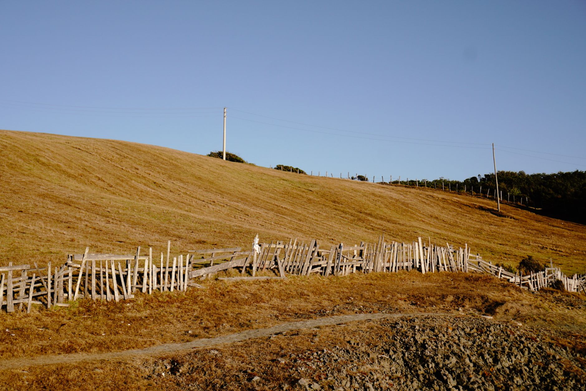
Covered ground comes first. Route length, the number of separate pastures and the distance from the barn to the far fence set how many flights are needed and how long each one takes. A layout with long, straight fence runs is simpler to plan than a broken layout with many corners, gates and paddock splits.
Terrain and cover come next. Hills, tree lines and creek bottoms can block the line of sight and force route changes or added flights. Wind matters as well. It was the top concern in the Iowa poll, and it limits which days a crew can count on for flying.
Flight authorization can add real work. Under the FAA's Part 107 rules, commercial drones under 55 pounds may be flown, and flights beyond visual line of sight generally need a waiver. A long fence line or a spread-out pasture layout can push a route toward that situation, so the route design should be checked early in the assessment.
Sensors, software and scale complete the picture. Visual cameras are the simplest setup, while added imaging adds configuration time and larger files for the crew to review. Integration with the farm's own records also changes the total, and so does the number of units. One unit on one route is a simpler job than several units covering several sites.
How many labor hours does a drone save on a dairy?
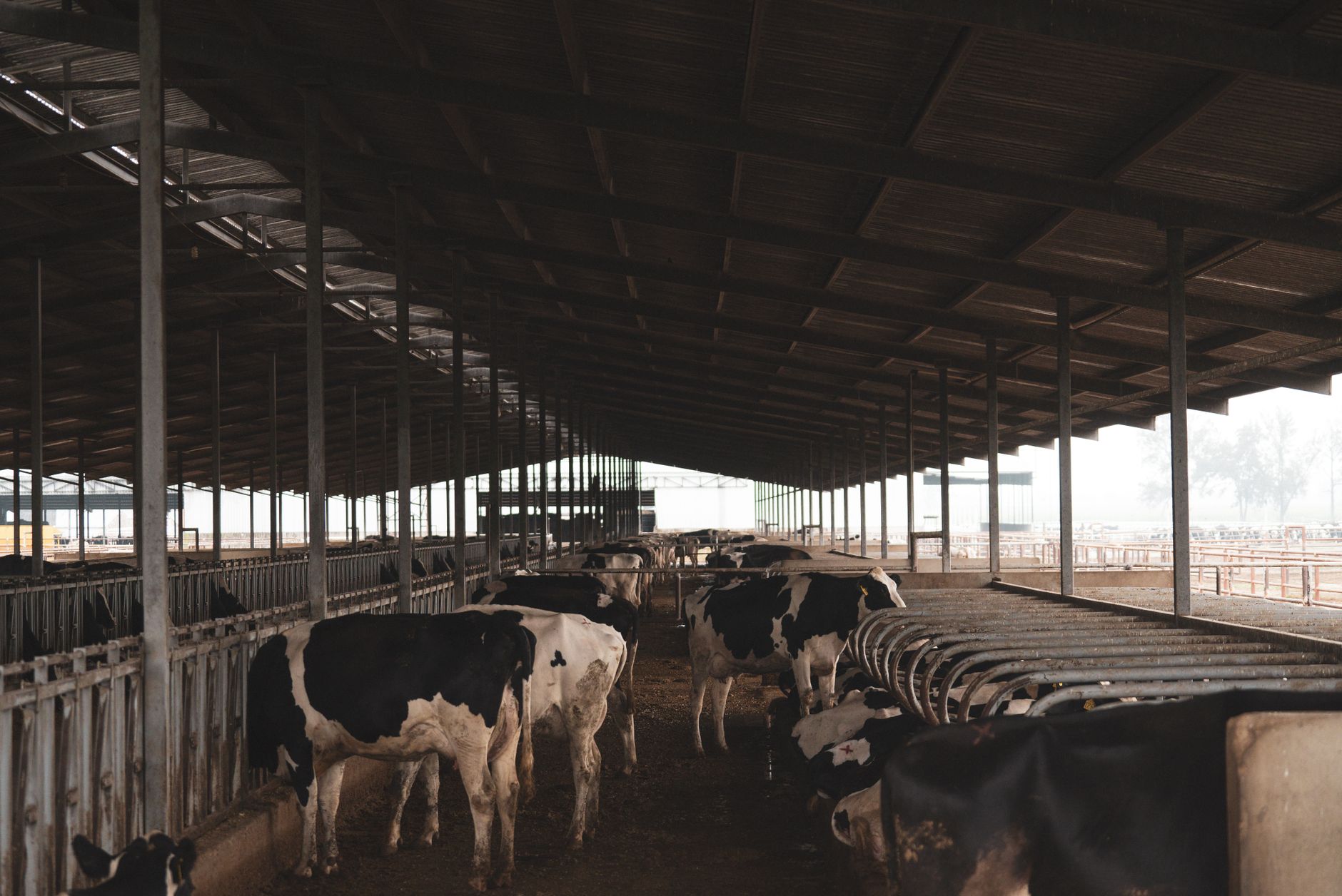
The public figures do not measure fence line work directly, so the honest answer depends on your operation. USDA's Economic Research Service reports that farms with at least 2,000 cows reach about 10 cwt of milk per labor hour, against 2 to 4 cwt on farms with 50 to 500 head. That measures milk output rather than fence checks, but it shows how strongly labor productivity moves with herd size.
The best dairy labor data we found is old. A 2000 UC Berkeley survey of dairy wages recorded 10.5 hours a day on average for dairy workers, within a range of 8 to 13 hours, and 6.1 hours per milking. That survey predates modern technology and staffing, so use it as a rough reference for how long a shift runs, not as a forecast.
For the drone itself, the hours that matter come from route length and check frequency. Time how long it takes to walk or drive each fence segment, multiply by how often the check happens each month, and compare that with the time needed to review drone images and act on them. The site assessment makes that count using the real layout.
What can a drone not do on a dairy operation?
A drone does not replace the judgment of the stockperson. It can show where a fence segment, gate or water source needs attention, but a person must confirm the problem on foot. Close checks on animal health, feeding and milking stay with the crew.
Weather is a hard limit. Wind, rain, fog and lightning can stop flights, and wind was the top concern in the 2025 Iowa poll. Plan for lost flight days and keep the manual route ready for them.
Flight rules cap what an operator can do. Part 107 covers commercial drones under 55 pounds, and flights beyond visual line of sight generally need a waiver. A route cannot be planned as if those rules did not exist, and a waiver request can take time, so build that time into the schedule.
Data has limits too. We found no published study of dairy drone results, so any promised time savings should be checked against trial flights on your own ground before you commit to a full scope.
How does leasing through financing work and what does the quote include?
We lease robots through financing, so a farm pays on a set schedule rather than carrying the full equipment cost at the start. The lease covers the unit, and the quote states the payment terms once we have assessed the site. A fixed robot lease payment keeps the budget predictable, but only if the scope is written out.
The quote is the document to read closely. It should list the lease terms, deployment and integration, staff training, the service plan and the response path when a unit is down. It should also name any insurance or liability terms and state what happens at the end of the lease term. If a line is missing, ask for it before you sign.
The quote is built after a free site assessment. We do not give a figure before we see the layout, because a short route on one pasture and a multi-pasture layout with long fence runs call for different flight plans, different authorization work and different service visits.
How do you get a drone quote for a dairy farm?
The process starts with a free site assessment. We map the ground, check which flight rules apply to each route and talk with the people who run fence and pasture checks today. That visit sets the real cost drivers, so the quote reflects your site rather than an average.
After the assessment, the quote covers the lease through financing, deployment and integration, staff training and service. The steps below show the order, from the first call to a unit running on your ground.
A single unit on a single route is a reasonable way to test the fit before adding more sites, because it shows the real route time, weather days and review load on your own land.
Where does the evidence stop for dairy drones?
Most drone adoption data is for row crops. The national study found that 61% of drone non-users said they planned to add a drone, which signals interest across farm types but not dairy results. We found no survey or cost data for drones on dairy pastures or fence lines, and no recent US dairy worker turnover rate.
Labor figures are dated or indirect. The UC Berkeley wage survey dates from 2000, and the Economic Research Service productivity figures measure milk output rather than fence work. Treat both as context, and let timed checks on your own ground set the case.
Federal drone rules also change. Check the latest FAA rules before you plan any route that goes beyond visual line of sight, and confirm the terms of any waiver with the agency rather than assuming an earlier approval still applies.
Frequently asked questions
Want a drone at your dairy farm?
Tell us about your site. We will recommend the robot, quote the lease, and keep it serviced.
Sources
- Dairy industry newsletter citing USDA NASS Milk Production report
- Dairy report coverage of 2025 herd size
- USDA NASS milk production release
- USDA ERS chart of milk output per labor hour
- UC Berkeley dairy wage survey (2000)
- Iowa farm drone poll coverage (2025)
- National drone adoption study coverage (row crop)
- FAA Part 107 small unmanned aircraft rules