
The short answer
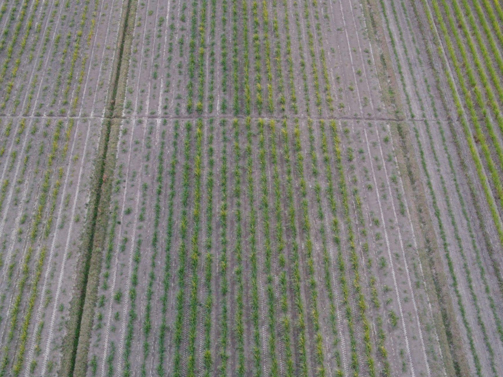
Drone cost for sugarcane fields depends mainly on how many acres each flight covers, whether the drone maps the crop or sprays ripener, how many passes the season needs, and what the lease includes for licensing, data, maintenance and service. Sugarcane blocks are large, so acres per session and the number of sessions have the biggest effect on the total. We set the lease quote after a free site assessment of your actual blocks.
Key takeaways
- Acres covered per session and the number of sessions drive most of the cost of drone work on sugarcane.
- Mapping stand counts and irrigation gaps and spraying ripener carry separate planning, licensing and equipment needs.
- Licensing, data processing, maintenance and staff review time are the hidden costs most often left out of comparisons.
- Drone gap mapping has reported accuracy, but in one sugarcane study walking transects were the most accurate scoring method.
- A lease quote follows a free site assessment and should list every item it includes.
What does drone cost for sugarcane fields depend on?
Drone cost for sugarcane fields is mostly the cost of the work, not the aircraft alone. A drone that covers one long, contiguous block in a few sessions costs far less to run than the same aircraft spread across scattered small plots, because flight planning, airspace checks, battery changes and data review repeat with every session. The first questions are what the drone must do, over how many acres, how many times in a season, and who flies it.
The scale of the crop makes those questions matter. According to USDA NASS Crop Production, published March 10, 2026, U.S. sugarcane harvested area for 2025 was 946.0 thousand acres, up from 920.0 thousand in 2024. The same report gives a yield of 36.4 tons per acre, down from 37.4, and production of about 34.4 million tons. The text version of that table was garbled in our research, so check the published table before you put these figures in a budget.
Acreage that large means the number of sessions across a season, more than any single flight, drives the total. A lease quote therefore starts with the acres that need covering and the number of passes. We confirm both during a site assessment and do not work from the total acres on a farm plan alone.
Which factors push the cost up or down?
Six factors shape most drone quotes on a sugarcane operation. Mission type comes first. Mapping for stand counts and irrigation gaps needs flight planning, image resolution and analysis. Spraying ripener needs a licensed aerial applicator and a spray volume set by the agronomist.
Block shape and continuity come next. Long, straight blocks let a flight run efficiently, while scattered parcels add transit between sites, extra takeoffs and more setup for the same total acreage. Terrain, drainage lines and obstacles change the flight path and the number of safe takeoff points, so the effective acres per session can fall well below what the map suggests.
Passes per season and aircraft count matter too. Scouting may repeat through the season, and each repeat multiplies session costs. A second aircraft can cover more ground in a day, but it adds batteries, flight logs and maintenance to schedule. The chart below ranks the factors behind drone cost for sugarcane fields by how much each usually moves a quote. The weights are rough guides from our planning, not measured figures.
How much ground can one drone session cover?
Coverage per session depends on altitude, flight speed, image resolution, battery life and how often the aircraft returns for battery swaps. Higher resolution needs lower altitude and slower flight, which covers less ground per session. Stand count and gap scouting usually needs finer resolution than a broad overview of a field, so the same block can take noticeably longer when the agronomist asks for detail.
The research behind this page did not produce a verified coverage-per-session figure for sugarcane scouting, so this page gives no acres-per-flight number. Ask any provider for coverage per session at the resolution your agronomist needs, and ask them to fly one of your own blocks while you time it.
Weather is the other limit. Wind, rain and low visibility cancel missions, so a season with many cancelled days needs more scheduled sessions than the calendar alone suggests. Build a weather allowance into the session count before you compare quotes.
Can drones scout sugarcane as well as walking the rows?
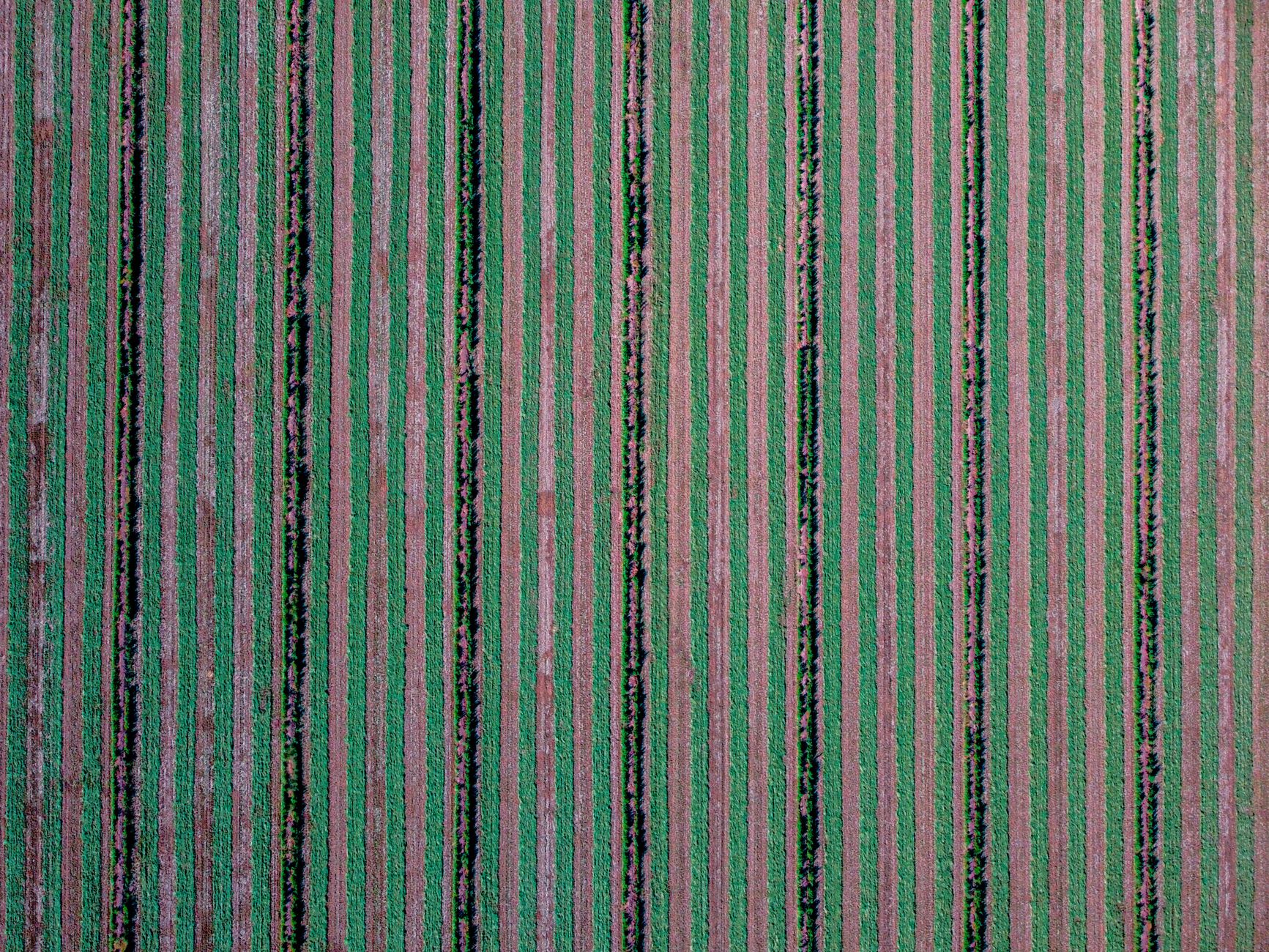
The evidence is mixed, so it helps to split the task. A 2018 study on cover-crop scoring in sugarcane, published by CIRAD through its eRcane work, found that transect scoring was the most accurate method but also the most time-consuming. Drone scoring covered more ground faster but was weaker at separating plant species.
Gap mapping is where drones perform best in the reported work. According to a 2024 YOLOv5 study indexed in DOAJ, gap detection reached 96.1 percent accuracy for gaps of 50 cm or larger. A separate tropical island sugarcane study, reported on the Northumbria University research portal, found drone gap mapping at 99 percent accuracy against ground truthing. Both are study reports on their own methods, not trials at your fields, and the DOAJ study does not report results for gaps smaller than 50 cm.
A practical split works in most operations. Use the drone to map the whole block and locate gaps and stress clusters, then walk those spots to confirm and count. That keeps staff time on the places where it changes a decision.
Can a drone apply ripener on sugarcane?
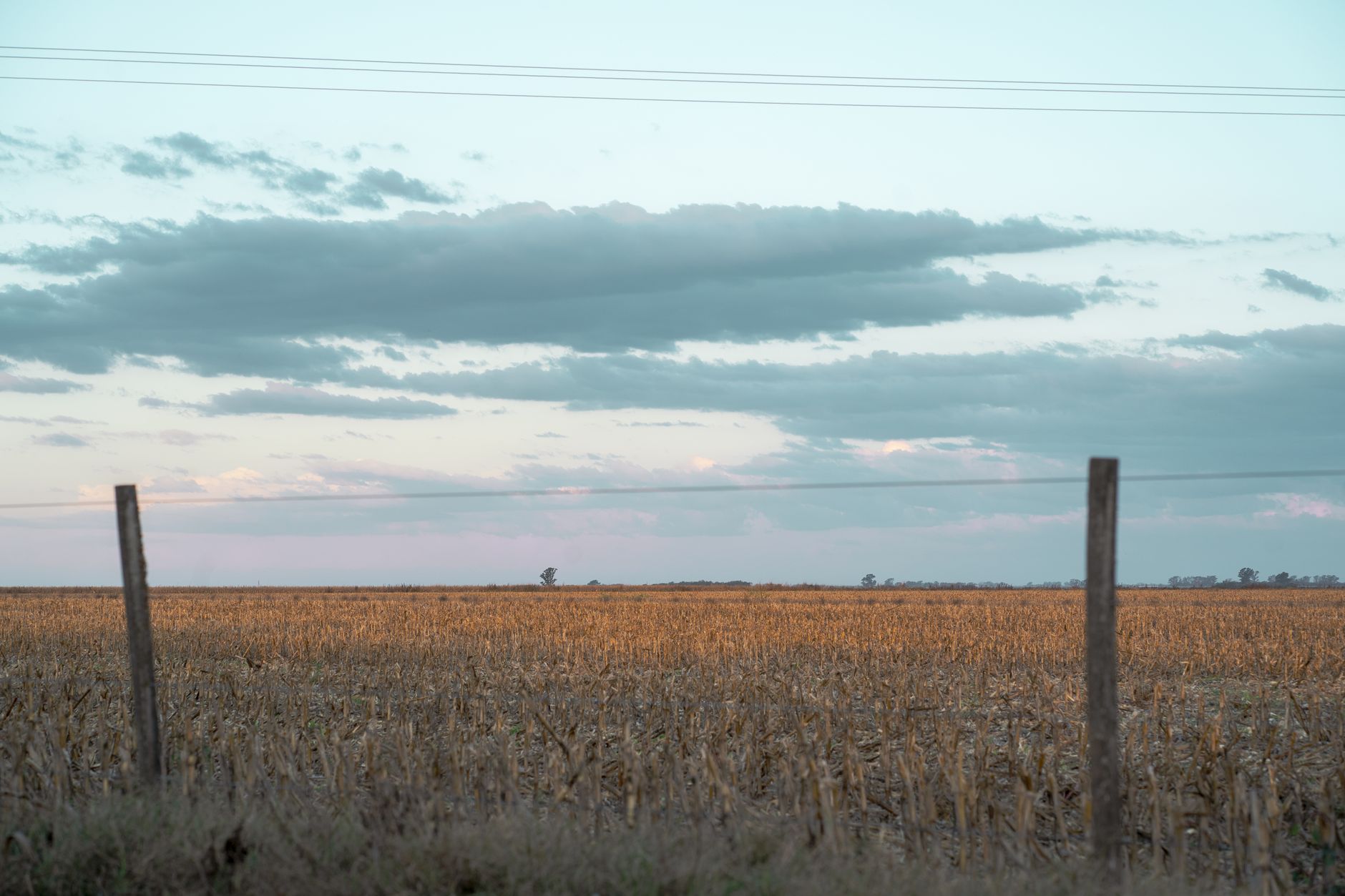
Louisiana has the most detailed record in the sources reviewed. According to LSU AgCenter, as reported in its media news report on sprayer drone use, scientists first tested drone-applied ripener on sugarcane in 2020. Drone-treated plots gained about 30 pounds of sugar per ton after six weeks, similar to airplane or helicopter ripener applications.
Adoption is still uneven. KPEL's 2026 report says LSU AgCenter specialist Thanos Gentimis estimates about 45 percent of Louisiana farmers have smart equipment on machines, and many of them are not yet using it. Treat that as an estimate from the article, not a survey result.
Spray volume sets the work per acre. The University of Kentucky extension publication AEN-174 scales contracted drone application for general crops from 2 gallons per acre up to 5 gallons per acre. That publication covers general crops, so the rate you need for sugarcane has to come from your agronomist, and it should appear in the quote before you compare totals.
How does leasing a drone through financing work?
We lease the drone and the work around it through financing, so the cost arrives as a fixed lease payment rather than as one large upfront decision. We pick the aircraft that fits your blocks, deploy and integrate it into your workflow, train your staff and service it nationwide.
The quote comes after a free site assessment. We measure your blocks, check terrain, power and data links, and confirm the mission. A quote built from a generic estimate tends to drift once the aircraft meets your fields, so we build the number from those inputs.
When you compare quotes, ask what each one includes: flights per season, data processing, software, training, maintenance, replacement terms, response time, and whether insurance is included or billed separately. A quote that leaves these items out cannot be set against one that lists them.
How many labor hours does a drone save on sugarcane?
We did not find a verified figure for hours spent walking sugarcane blocks, the number of scouts per operation, or staff turnover in this work, so this page does not give one. Treat any hour estimate without a named source as a starting question, and check it against your own timed walk.
The most reliable test is a side-by-side. Time one block on foot, counting what you record. Then time one drone session over the same block, including setup, battery changes and review. The gap between those two numbers is your labor case, and it changes with block size and the resolution you need.
A drone shifts hours rather than erasing them. Flight setup, data review and follow-up walks to confirm gaps are staff hours, and they belong in the comparison next to the walking you avoid.
What can a drone not do on a sugarcane operation?
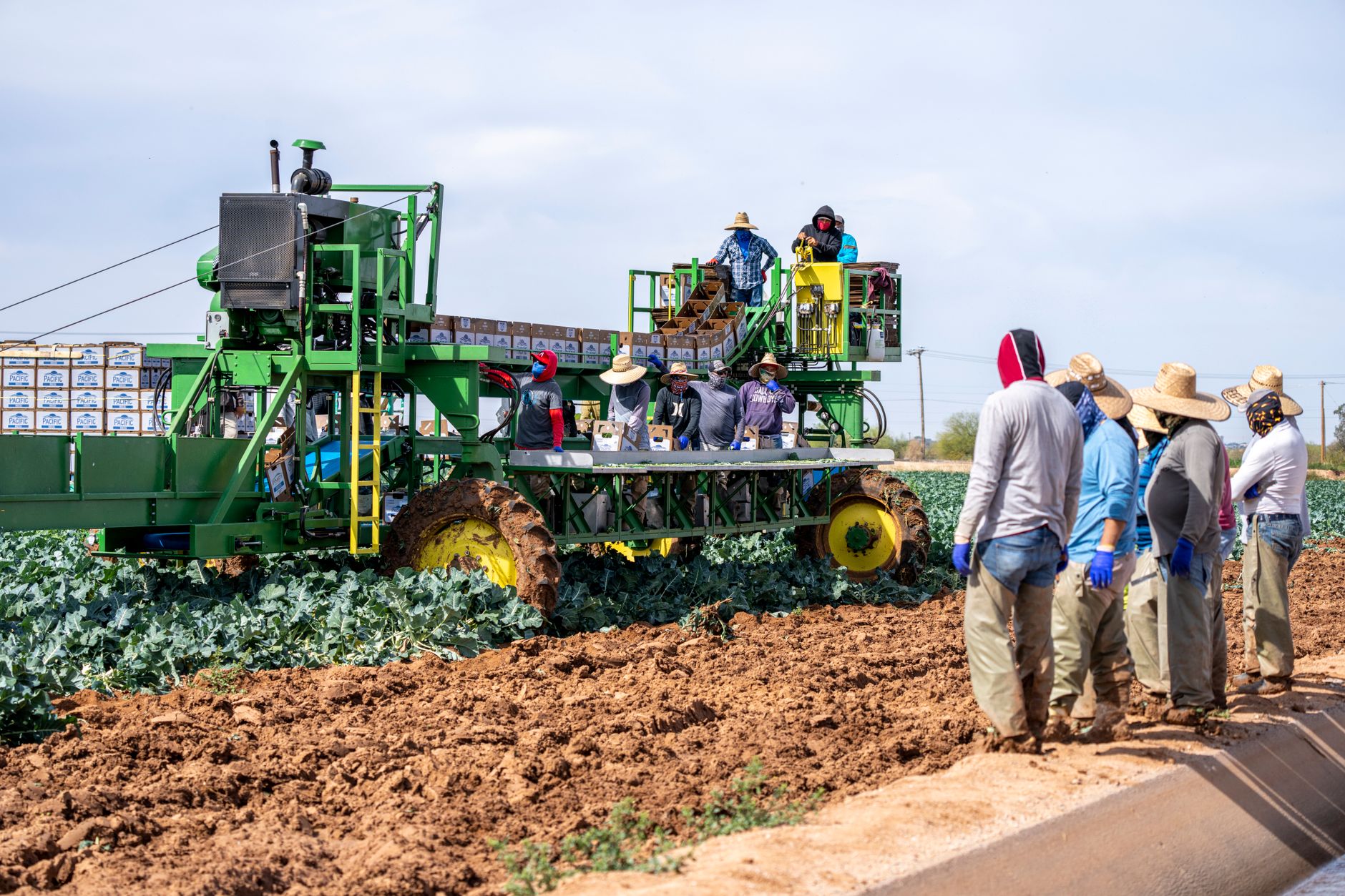
A drone does not replace the agronomist. It shows where a stand is thin, a patch is stressed or water is missing, but it does not explain the cause. Variety, soil, irrigation history and pest pressure still need a person who knows the field.
Drones also struggle to separate some plant species, as the CIRAD scoring work found, so species identification still needs time in the field. Gap maps are strongest for gaps of a meaningful size, and the reported accuracy figures do not guarantee the same result on your soils and crop stages.
Spraying is licensed work, and it is only as good as its timing. A drone can apply ripener only where the operator, the aircraft and the application meet state and federal rules, and a delayed repair can push an application past its best window.
Frequently asked questions
Want a drone at your sugarcane field?
Tell us about your site. We will recommend the robot, quote the lease, and keep it serviced.
Sources
- USDA NASS Crop Production, March 10, 2026
- University of Kentucky extension publication AEN-174
- University of Missouri Extension publication G1274
- LSU AgCenter media news report on sprayer drone use
- KPEL 2026 report on drones and AI for Louisiana farmers
- CIRAD eRcane cover-crop scoring notice, 2018
- 2024 YOLOv5 sugarcane gap mapping study, DOAJ
- Northumbria University research portal, tropical island sugarcane study