
The short answer
Drone ROI for parking lots comes mainly from survey field hours, since a single aerial pass can document a whole lot in about 15 to 30 minutes according to trade press reporting. The return is the labor saved on that survey work, priced on the local wage for the security guard type work the drone takes over, minus the fixed lease cost. Peer-reviewed accuracy studies place rut depth error within a few millimeters, but the payback only holds when the findings feed a funded repair plan.
Key takeaways
- Drone ROI for parking lots comes mainly from survey field hours, not from replacing a crew.
- One pass can document a whole lot in about 15 to 30 minutes, according to trade press reporting.
- A 2025 road study reported rut depth error of about 3.5 mm against field tests.
- Delayed repairs reduce total savings, so the survey must feed a repair schedule.
- The lease is quoted after a free site assessment, which turns the savings range into your figure.
Run the numbers for your site
Pick your city or state for a real regional number - we use the real BLS wage there. (On the live site this auto-detects from your location.)
What do you want to automate?
The unit runs the repetitive patrol and watch; guards handle the judgment calls.
What is drone ROI for parking lots?
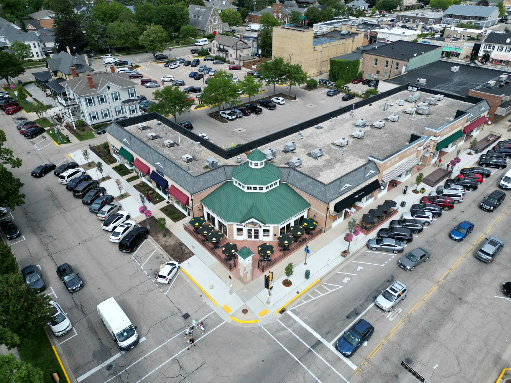
Drone ROI for parking lots is the return a site gets from using aerial passes to survey pavement condition, striping and surface wear across a large lot. It is measured as labor hours saved against the lease cost. The case is practical rather than dramatic. A lot is a flat, repetitive surface, and a drone captures it the same way on every visit, which gives repair planners a consistent record to work from.
The return sits mostly on the survey side of the job, not in replacing a full crew. Service Robot Co. is a US commercial robot integrator. It picks the right robot for the site, leases it through financing, deploys and integrates it, trains staff and services it nationwide. The lease payment is quoted after a free site assessment, so the figures on this page frame the decision without standing in for a quote.
How much survey time does a drone save on a lot?
Trade press reporting gives the clearest before and after for lots. According to a trade press article on drones in commercial paving, measuring an entire parking lot by hand could take all day, while a drone can document the whole lot in about 15 to 30 minutes. The article does not cite a controlled study, so treat those figures as field reports from contractors.
Public agencies report similar gains on streets. The City of Lincoln, Nebraska newsroom described a drone survey that had required a two-day closure being completed in one hour, which it called more than a 90 percent reduction in evaluation time. That was a street, not a lot, but the pattern holds: the time saved is in the field, where crews and closures cost the most.
A paving contractor quoted in the same trade article said its sales team could estimate 1 to 2 parking lots a day before using a drone. That figure is contractor-reported, so check it against your own counts before using it in planning.
Median hourly wage, Security Guards
$4,317
Monthly cost of one full-time worker, at the median wage plus payroll costs (an estimate, not a quote).
| Task | Today | With a robot |
|---|---|---|
| Document a full parking lot | about a full day for one lot, per trade press reporting | 15 to 30 minutes of capture |
| Evaluate a city street | a two-day closure | about one hour |
| Estimate parking lots a day for a paving sales team | 1 to 2 lots a day | contractor-reported, no new count published |
Hour figures come from a city newsroom and a trade press article. The lot and street figures are field reports from those sources, not a controlled study. The sales estimate is contractor-reported.
Where does the return actually come from?
The return comes from three places. The first is field hours, meaning fewer people walking the lot with measuring tools and clipboards. The second is closure and disruption time, which a drone shortens because the pass is quick and the lot can keep operating around it. The third is repair timing, because consistent images let a planner schedule crack sealing and resurfacing before small defects spread.
The labor side is framed in security guard terms, because the work a drone takes over on a lot is the walking, watching and reporting that a guard or site attendant would otherwise do. The savings range on the calculator is priced on the local wage for that job, shown in the government wage data on this page. Maintenance crews are not priced into that calculation. The page assumes one trained person runs the survey, a planning assumption, since the research did not turn up a published count of survey staff.
Preservation work also gives the owner a reason to act on what the drone finds. According to the Federal Highway Administration, pavement preservation can halve the life cycle maintenance cost of a road, which is why early and consistent condition data is worth having.
How does the savings math work?
The calculator works in four steps. It takes the hours a survey task takes today, applies the share of that work a drone realistically handles, multiplies the result by the local wage for the security guard type work involved, and subtracts the lease cost over the period. The output is a range, not a promise, and every input moves it.
The share matters most. A drone takes over the capture and much of the measurement, but a person still checks flagged defects, decides on repairs and handles anything the images cannot show, such as drainage problems that appear only after rain. A realistic share sits well below total survey hours, which is why the calculator asks for it directly.
The lease cost is the other side of the ledger. It is a fixed lease payment set through financing and quoted after a free site assessment, so it is known before you commit. Payback is the point where accumulated hours saved cover the lease payments, and the page shows that point as a range rather than a single date.
What changes the number up or down?
Lot size and layout move the number first. A large lot with many drive aisles, islands and striped stalls takes longer to fly and longer to process than a simple rectangle. Academic UAV pavement studies rely on ground control points to hold accuracy, which adds setup time on site. The flight still ends the field work much faster than a walk-through.
Survey depth moves it second. A survey that records only surface cracks is quicker than one that adds rut depth, patch size and striping wear. A 2025 study on an urban road reported rut depth error of about 3.5 mm and 96 percent correct identification of crack location and type against field tests. That detail is achievable, but it depends on how the survey is set up.
Owner follow-through moves it most. According to FHWA analysis, the longer improvements are delayed, the less total cost savings an agency realizes. A drone survey that sits in a folder returns nothing, so the calculator assumes the findings feed a repair schedule.
Can a drone match a person on accuracy?
Accuracy depends on the sensor, the flight height and the processing, and published numbers come from specific test setups. A 2025 conference study of a flexible pavement reported planimetric deviations under 2 mm and altimetric deviations under 10 mm, with tests at 3 m and 20 m flight heights.
A 2025 proceedings paper on a detection algorithm reported 96 percent average accuracy and a 77 percent cost reduction against a conventional approach. The source excerpt did not show what that comparison baseline was, so the accuracy figure deserves more confidence than the cost figure.
A peer-reviewed study of asphalt defect inspection in Brazil found drone results similar to the traditional method, with a 33.3 percent reduction in operation time. The gain is in time, not in the need for judgment, which is the point of the next section.
- Full lot capture
Drone
One pass in about 15 to 30 minutes, per trade press reporting
Staff
About a full day for one lot, per trade press reporting
- Consistency across visits
Drone
Same flight path and image set each cycle, which makes comparison easier
Staff
Varies with the surveyor, the day and the tools
- Rut depth and crack measurement
Drone
Rut depth error of about 3.5 mm and 96 percent correct crack identification in a 2025 study against field tests
Staff
Direct field measurement, the kind of check the 2025 study used as its comparison
- Judging cause and choosing repairs
Drone
Flags surface features from images but cannot judge cause
Staff
Checks flagged areas, judges drainage and decides on the repair
- Areas hidden from the camera
Drone
Cannot see under standing water or in deep shadow
Staff
Can walk the area and check it directly
What are the risks to the return and how do you avoid them?
The biggest risk is paying for survey capacity that nobody uses. Avoid it by tying the first survey to a funded repair plan, and by agreeing in advance on who receives the report and by when it must be acted on. A repair program that already exists turns the image record into a schedule.
Weather and access are the second risk. Rain, wind and standing water cut usable flight days, and a lot that is full at peak hours needs a set window. Plan survey windows around the quietest hours of the lot and keep a backup date in the schedule, so one bad day does not delay the whole cycle.
The third risk is trusting images alone. Drone results are strongest on surface features and weakest where the camera cannot see the defect, such as under standing water or in deep shadow. Keep a short field check on flagged areas, especially before a repair contract is signed.
How long does it take to reach payback?
A realistic path starts with assessment, then a limited pilot on one or two lots, then wider use. Assessment covers lot count, survey depth, airspace and access, and the lease quote. The pilot tests the hours saved on real work before the owner commits to a broader program, and that is where the first payback evidence comes from.
Payback timing depends on how often each lot is surveyed. A lot surveyed once a year gives fewer hours to offset the lease than a set of lots surveyed on a fixed cycle. Service Robot Co. deploys and integrates the equipment, trains staff and services it nationwide, so the first survey cycle is part of the lease program rather than a separate project.
Use the range to decide whether a pilot is worth running. A sensible planning horizon matches the period over which the owner expects to run the survey cycle alongside the repair plan. The range is a planning tool, not a guaranteed date.
How do you get a precise figure from a free site assessment?
The free site assessment replaces the range with your own figure. Bring the lot count, approximate area, survey frequency, current survey hours and any repair schedule you already run. Those inputs let the assessment set the share of work the drone takes and the fixed lease quote.
Service Robot Co. is a US commercial robot integrator that picks the right robot for the site, leases it through financing, deploys and integrates it, trains staff and services it nationwide. The lease payment is quoted after the free site assessment, so the number you sign off on reflects your lots rather than a template.
Ask for the quote in writing with its assumptions shown, including the survey share, the wage basis, the lease term and the service terms. A quote that cannot show its assumptions is not a number you can check against your own records.
Frequently asked questions
Want a drone at your parking lot?
Tell us about your site. We will recommend the robot, quote the lease, and keep it serviced.
Sources
- US Bureau of Labor Statistics, Occupational Employment and Wage Statistics (OEWS May 2024)
- City of Lincoln, Nebraska newsroom
- Trade press article on drones in commercial paving
- Peer-reviewed study on asphalt defect inspection under DNIT 006/2003 (Brazil)
- 2025 peer-reviewed study on UAV road distress detection, Palestinian urban road
- LACCEI 2025 conference proceedings on pavement detection
- 2025 conference paper on flexible pavement UAV survey (Portugal)
- UC Berkeley parking space study (Chester, Horvath and Madanat, 2010), via secondary report
- Federal Highway Administration, pavement preservation