
Key takeaways
- Drone surveys check roofs, cornices and masonry without putting scaffolding or people on fragile surfaces.
- Access is the main problem, since traditional scaffolding and lifts are often impractical on historic structures.
- In an offshore vendor case study, a drone run took 13 work days against 33 for rope access.
- A drone plus a small trained team keeps the reading of the imagery and the decisions with people.
- A free site assessment comes before any lease quote, so the payment is set for your building.
How can drones benefit historic buildings?
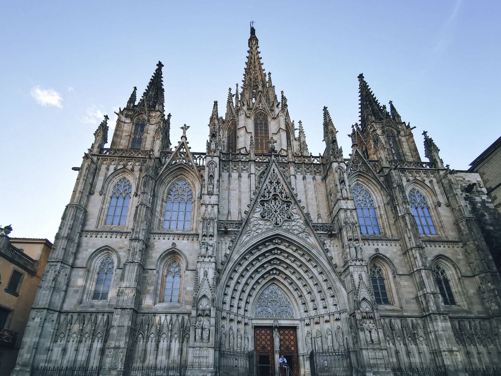
Drones for historic buildings mainly solve an access problem. Roofs, cornices, parapets, gutters and masonry all need regular condition checks, but the usual ways of reaching them put scaffolding, lifts or people on surfaces that cannot take extra wear. A drone flies a set path over the building, takes overlapping images, and sends them to a preservation team that reviews them at a desk.
The main benefit is that people and equipment stay off the fragile surfaces. An engineering firm that surveys difficult structures describes traditional access, such as suspended or supported scaffolding and aerial lifts, as impractical or inadequate for some historic structures, given their configuration, location, historic sensitivity, or time and safety limits. Drone imagery gives the team a view of the roof and facade without that contact.
Local government sees the same pattern on ordinary roofs. A council page says a drone survey of a roof is more cost-effective than a manual survey using ladders, scaffolding, lifts or cherry pickers. A historic building is not a council roof, so the sensible next step is to test the method on one elevation and measure the hours and disruption it saves.
What problem do historic buildings have today?
Most historic buildings were never designed for the way they are inspected now. Roof edges, decorative cornices and parapet caps sit high, often over public paths, and the materials can be brittle, soft or uneven, so a crew that walks or kneels on them can do harm. Owners know the inspection is needed, and they put it off because access setup is slow and disruptive.
The scale of the problem is large. The National Park Service reports over 100,000 listings in the National Register of Historic Places as of May 9, 2025. A public list of the same register gives more than 95,000 listings since 1966 as of August 16, 2025, and calls its own figure approximate, so the official number is the one to use. Listings include districts and sites as well as single buildings, which means many more owners face the same access question.
The access question matters most for the roof and masonry work that is hardest to schedule. A cornice that needs only a short look can still tie up a site through setup, permits and paperwork.
What are the main benefits of drones for historic buildings?
The first benefit is protection of the fabric. Because the drone stays in the air, nobody leans a ladder against a parapet or stands on a slate slope that could crack. The second is coverage: one flight can record a whole elevation from angles a ground view cannot reach, and a conservator can return to the same images months later.
The third is a faster survey itself. In a vendor case study of an offshore facility, a drone run took 13 work days against 33 work days for rope access, a 60 percent reduction in time, and the crew fell from three people to two. The vendor published those results, and an offshore platform is not a historic building, so read the numbers as a sign of direction rather than a forecast for your site.
The fourth is that the building stays open. Less equipment on the grounds means fewer closed paths, fewer hoardings and less disturbance to visitors, tenants or nearby work. That matters at churches, museums, schools and government offices, where the building stays in use while it is checked.
How does a drone work on a historic building day to day?
The day starts before the drone leaves its case. The preservation lead marks the elevations, roof planes and details that matter most, and a trained pilot plans the flight path around them. Flight permissions and any approval a listed structure needs vary by location, so they are confirmed before the first flight, not on the morning of it.
On the flight, the pilot keeps the drone on the planned path and staff stay clear of the fragile edges. Images are taken with overlap so they can be joined into a continuous record of each side. Nobody needs to climb a ladder or stand on a roof to collect them.
After landing, the imagery is checked for coverage and gaps are flagged, and a short second flight may fill them. That same day, the conservator opens the images at a desk, notes missing material, cracking, staining or gutter failure, and lists the spots that need hands-on follow-up. The drone supplies the eyes, and the people still make the decisions.
Which areas of a historic building does a drone work in?
The drone works wherever a person would otherwise need access, which in a historic building usually means the upper and outer surfaces. The six areas below are where drone imagery usually replaces a ladder or lift in preservation work.
Each area asks for its own kind of view. Roofs need the overall picture, cornices need close overhead passes, and masonry needs even, overlapping coverage so the surface can be read as one piece. The zones that follow show what the drone does in each.
How does a drone work alongside existing staff?
A drone does not run a site by itself, and it does not replace the people who know the building. A robot plus a smaller team is the right setup: a trained pilot from your facilities or preservation staff, a conservator or architect who reads the imagery, and someone who handles access for any hands-on follow-up.
We train your staff during go-live support, so the pilot can plan, fly and file a flight without us on site. The job usually fits into the planned condition surveys the team already runs, so it adds a skill rather than a new crew. Training covers flight planning, image handling and the checklist the conservator uses.
The conservator's role becomes more focused, not smaller. Instead of spending a visit on ladder access and setup, the conservator spends it on the spots the imagery flagged, which is where specialist judgment matters most.
What drives the savings?
Savings come from three places: labor hours spent building and removing access, the number of people on site for each survey, and the number of days a building is disturbed. Access setup produces no survey data, so every hour spent on it is an hour the survey does not get.
Treat published ranges as a guide, not a promise. In the offshore case, the drone run took 13 work days where rope access took 33, and the crew dropped from three people to two. A bridge study funded by the U.S. Department of Transportation found an overall average cost savings of 40 percent from removing traditional access methods. That study measured cost on bridges, not hours on historic buildings, so use it as a reason to test rather than a figure to quote.
Your own savings depend on how many elevations the building has, how many access points a scaffold would need, and how often the survey repeats. A site assessment is where those inputs get measured, before anyone signs a lease.
What can a drone not do?
A drone cannot touch the building. It cannot test mortar hardness, probe a joint, take a core sample or check a fixing by hand, and it cannot say what a repair should look like. Imagery shows condition and extent, which starts a decision but does not finish it.
Some work still needs people on the structure. An engineering firm that surveys difficult structures pairs rope access with drone surveys, which shows the two methods complement each other. Close checks of fixings, tight details and interior spaces may still need someone with the right access.
Weather and light also limit what you get. Wind, rain and low sun change how much a flight captures, and a crack that is faint in a photo can be hard to judge without a closer look. Plan flights for calm days, and treat the imagery as a survey rather than a final report.
How do we get started?
We are a US commercial robot integrator. We pick the right robot for the site, lease it through financing, deploy and integrate it, train the staff and service it nationwide. For historic buildings, the work starts with a free site assessment, where we review the elevations, the access problems and the flight constraints.
After the assessment, you receive a quote that sets out the lease payment, the robot chosen for the site, and the training and service included. The payment comes in that quote, not before, so you can compare robot lease options and lease financing programs side by side. Nothing is deployed until the numbers for your building are on the table.
Many owners start small, with one elevation or one building on a campus, and run a first survey with a pilot from their own team. Go-live support covers the first flights, and the service team handles repairs and dispatch across the country. Expand once the conservator has found the imagery useful for the work.
Frequently asked questions
Want a drone at your historic building?
Tell us about your site. We will recommend the robot, quote the lease, and keep it serviced.
Sources
- National Park Service weekly list of National Register listings
- Public list of National Register of Historic Places listings
- Engineering firm document on difficult access and drone surveys
- Swindon council drones page
- Vendor case study on offshore facility inspection by drone and rope access
- U.S. Department of Transportation bridge study on inspection access