Key takeaways
- Canopy, buildings and tree lines can weaken satellite fixes long before a mower reports a fault.
- Walk every boundary with a satellite visibility check before mapping a single pass.
- Test the charging and base station spots too, because both can lose reception.
- Sort the lot into green, amber and red bands, and keep red zones on hand mowing until they are retested.
- Published figures are vendor descriptions, so your own site walk and test cut are the real evidence.
Do tree lined lots block robot mower satellite signal?
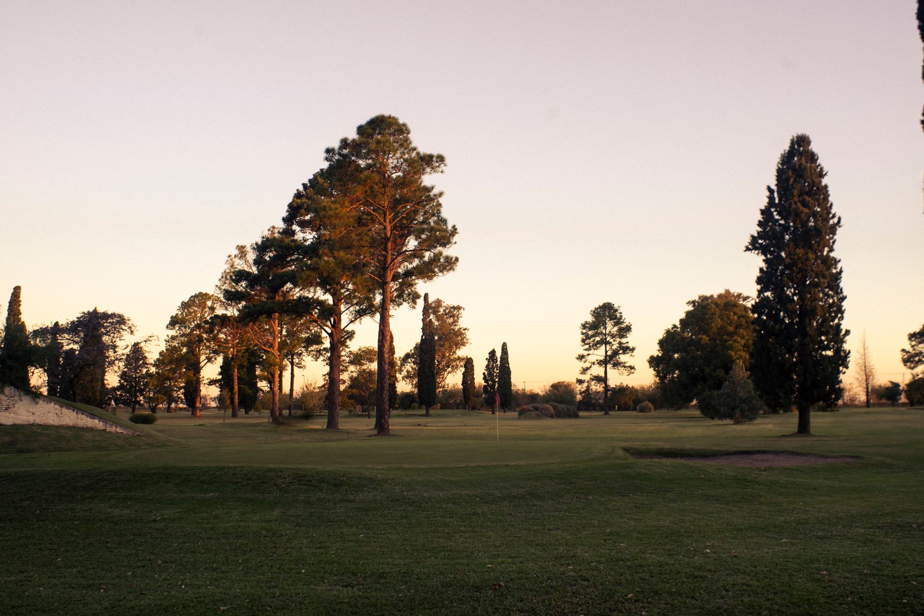
Often enough that the site walk should come first. Trees, buildings and bridges can block satellite signals entirely, and walls, trunks and fences can bounce them so they arrive late. GPS.gov names both blockage and reflected signals among the common causes of poor positioning.
For a robot mower, the problem is seldom a total loss of signal. It is a drop in fix quality, intermittent drift that leaves a mower off its line, or a stop in the middle of a lawn. Crews need to know which sections produce that before the robot runs a single pass.
A walk on foot, a checklist and a satellite visibility app will find most of those sections. The steps below follow that routine, from canopy to base station to the bands that decide where hand mowing stays.
What weakens guidance under canopy and near buildings?
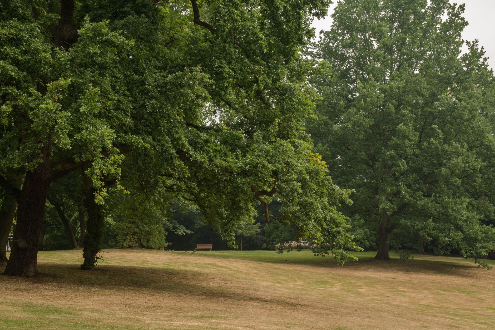
Leaf and branch moisture absorbs radio waves, so a dense canopy can reduce the number of satellites a receiver sees. One vendor guide describes a tier of 10 to 20 cm accuracy, with RTK often unstable, under branches, and a failed tier under dense canopy with fewer than five satellites. Those tiers come from a vendor description, not controlled testing, so read them as warning signs rather than specifications.
Reflections are the quieter problem. Trunks, fences, walls and sheds can bounce signals before they reach the antenna, adding distance error. Modern receivers reduce that effect, but a forest environment source still treats it as a real error source.
Public sources give direction more than measurements. We did not find published fix rate percentages for canopy, and that gap is why the walk and the test cut matter.

How do you walk a site for canopy, buildings and tree lines?
Walk the boundary first, then the interior, and sketch as you go. Memory blurs tree lines quickly, so the sketch becomes the record your crew will use.
- Mark every stretch where a tree line, canopy edge or wall runs close to the intended path.
- Note where canopy drips or branches hang low, since wet foliage adds to signal absorption.
- Mark shed, fence, wall and bin corners, which are the likely reflection points.
- At each candidate section, open a free satellite visibility app such as GNSS View and count the satellites visible overhead.
- Repeat the count at the charging station and at every planned base station spot, since guidance suggests testing both locations.
- Log the date, time and weather, because a count taken on a wet morning may not match a dry afternoon.
What should you test before committing to robot passes?
Run a short test on each marked section before any mapping. The aim is to see how the mower behaves when fixes degrade, not only whether it works on a clear afternoon.
Mower behavior varies. When fixes are lost, some mowers stop and return to the dock, while others keep running with poor accuracy, and the fail safe logic decides which. Ask the vendor which behavior applies, then test it on the worst section you marked.
Test long enough to cover a full cut of the section, since drift can appear late. Keep the base station where it sat when you mapped, because moving it shifts every boundary.
Where should the base station sit under tree cover?

Sky view is often named the single most important factor for RTK reliability, and reflective surfaces are a recurring cause of failure. Vendors part ways on the details, though, so copying one published rule is risky.
Installation guidance we checked is inconsistent on height. One guide suggests mounting between 2 and 5 m above ground, another says at least 1.5 m, and a third suggests ground level placement. Spots offered as suitable include a roof ridge, a flagpole top, a garage gable or a carport eave.
Under tree cover, the realistic choice is often the spot with the fewest trees and walls in view. Test it with the same count routine used on the lot, and remember that obstructions near the charging station also weaken the mower's own satellite reception.
Which sections should stay on hand mowing?
Sort the lot into three bands, and keep the rule simple enough for a crew lead to apply on a Monday morning. The bands come from the walk and the test cut, not from the size of the lawn.
- Green: open sky, clear of tree lines and walls, steady satellite counts at every check, and a clean test cut. Eligible for robot passes.
- Amber: partial canopy or wall reflections. Run a supervised test, and widen the robot route only if the mower holds its line through a full cut.
- Red: dense canopy, or walls and sheds within reach of the path, or satellite counts that drop at check time. Keep these on hand mowing and retest after leaf change, pruning or storm work.

Does vision or LiDAR assistance remove the problem?
Vision or LiDAR assistance may reduce disruption under trees, according to one guide, though it will not remove the consequences of weak satellite fixes. Treat assistance as a backstop for the amber band, not a reason to skip the walk.
Record fix behavior by section in a simple log: date, band, satellite count, any stops or returns, and whether the test cut held its line. After a season, that log will tell you more about your lot than any published tier.
How does a site assessment turn this walk into a lease quote?
At Service Robot Co., a site assessment covers the same ground: canopy, buildings, tree lines, charging position and base station spot. We are OEM neutral, so we match the mower to the lot rather than to a single manufacturer catalog.
We lease robots through financing on a three year lease, with one fixed payment quoted after the site assessment. Each unit is deployed, integrated, trained and serviced under RoboCare, with regional service engineers in every state we service. Findings from the walk go into that quote, so red bands are reflected in the plan from the start.
Frequently asked questions
Want a robot working for you?
Tell us the job and the site. We will recommend the robot, quote the lease, and keep it serviced.
Sources
- GPS.gov accuracy page
- Mowrator guide on RTK robot mower signal loss near trees
- LeFixea article on RTK canopy and multipath errors
- RTKdata wire free robot mower RTK accuracy guide 2026
- Household Robot lawn mower installation guide
- Household Robot lawn mower boundary errors troubleshooting
- Navimow academy guide on resolving poor positioning
- Lymow guide on location and common view satellites