Key takeaways
- RTK positioning is reported in centimeters under good sky view, while plain GPS virtual boundaries are measured in meters.
- Headline accuracy is a best case. Buildings, trees and metal objects can push a mower's error well above the figure on the spec sheet.
- A lost RTK fix can leave the mower at meter level for a time, so test the boundary on the real site.
- Blade offset and turning behavior still set the cut line, even when the positioning is excellent.
- Start with wide boundary margins and tighten them only after weeks of stable mowing.
Which Positioning Method Keeps Edges Clean?
RTK guidance and GPS virtual boundaries both tell a mower where it is, but they carry very different error. RTK, or real-time kinematic positioning, corrects a satellite fix against a reference signal, and vendors commonly report accuracy in the centimeter range. Plain GPS, which drives most geofence setups, is measured in meters. For an edge that a client or inspector will walk, that gap is the whole question.
Our short answer: where edges get inspected, specify RTK with a documented accuracy figure, verified under the site's real sky view. Treat plain GPS virtual boundaries as suitable only for wide open areas where a meter of drift costs nothing. Positioning is not the only input, though, because the mower's chassis and blade offset also decide where the grass gets cut.
How RTK Corrects a Mower's Position
An RTK system pairs the mower's receiver with correction data. In a local setup, a base station on the property sends those corrections. Kress describes its network RTK as using multiple permanent reference stations instead of one local base, and says both local and network RTK can be affected by tree and building obstruction, according to its own statement.
Vendor numbers vary by product. As of November 2026, Husqvarna's EPOS product page says it typically delivers 1 to 2 cm with its RS5 station, and 1 to 6 cm with its cloud-based option. A 2026 accuracy guide from rtkdata.com puts headline performance at plus or minus 2 cm, about plus or minus 1.5 cm under optimal open sky, and plus or minus 2 to 3 cm under clear-sky suburban conditions. These are vendor or blog figures, not independent tests, and I found no standardized accuracy specification that applies across these products.
Distance and sky both matter. The same guide cites a common formula of 1 cm plus 1 ppm horizontal, so accuracy is best near the reference station. It also says a '2 cm' mower may reach 3 to 5 cm in yards with houses, fences and trees. Calibrated systems are reported at 1 to 3 cm after calibration.
What Plain GPS Virtual Boundaries Deliver
A virtual boundary is a line drawn on a map. Its accuracy depends entirely on the positioning beneath it, so a clean-looking boundary on plain GPS can still wander. One WBOC buyer guide puts consumer-grade GPS error at 2 to 10 meters. Another source says phone-grade GPS without corrections stays within about 4.9 meters in open sky. Both are secondary claims, but they point the same way.
A meter of error is harmless when the boundary sits 10 meters from a fence. It is not harmless at a bed edge, a sidewalk seam or a narrow side yard. The same buyer guide calls a multi-meter error a dealbreaker for edge cutting, narrow corridors and no-go zones.
Why the Cut Line Depends on the Mechanics Too
Positioning is only half of the cut. Blade offset from the chassis and turning behavior both affect where grass actually gets cut, even when the mower knows its location well. A tight fix does not guarantee a clean edge if the turn pushes the deck past the line.
Judge the edge on the lawn, not on the map. Run a test pass along the real boundary, then have the crew review the stripe, the corners and the turn-around spots before the first client inspection.
When RTK Loses Its Fix Near Buildings and Trees
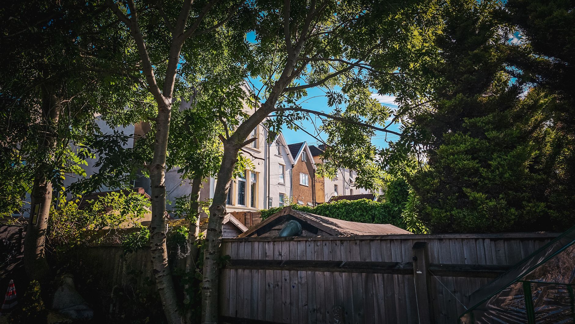
RTK performance is not constant. When corrections fail, navigation may drop from centimeter level to meter level for a while. A drop from fix to float can cause boundary hesitation, wobbly paths, missed strips or out of bounds moves near hazards.
Trouble spots are predictable, and guides name the same ones again and again:
- Metal sheds and metal fences
- Parked cars close to the edge
- Tight corners against brick walls
- Large windows and shiny building facades
- HVAC units
What Should You Ask a Vendor to Prove?
Ask for accuracy measured under conditions like your site, not only the headline number. Ask which correction source the system uses, whether a local base or a network, and what the mower does during a fix to float drop. Ask for fix rates on comparable lawns if the vendor can share them.
Base placement belongs in that conversation too. Guides say a base station needs a wide sky view, sits high and stays away from overhanging buildings and trees, because incorrect placement can affect the correction data. Start with wide margins, and tighten them only after weeks of stable mowing.
Where Hand Trimming Still Belongs
Good positioning reduces hand retrimming, but it rarely removes it. Crews still trim around posts, sprinkler heads, bed edges and any spot a deck cannot reach. That work changes shape rather than disappearing, so plan the edging hours as a fixed part of each route.
Keep a record of the stripe and the edge at each visit. A client who sees the same clean line week after week tends to trust the lawn, and the record shows where the margin needs to move.

How a Site Assessment Sets the Accuracy Plan
At Service Robot Co., the accuracy question starts with a site assessment and site mapping, not a catalog spec. We are OEM-neutral, so we compare mowers across manufacturers against the sky view, obstructions and edge demands of each property. Our robot lease options run on a three year lease, with one fixed lease payment quoted after that site assessment.
Robot deployment and integration, training and service follow under the RoboCare service plan, backed by regional service engineers in every state we service. Edge performance gets checked after go live, so the margin can be tightened on evidence rather than guesswork.
Frequently asked questions
Want a robot working for you?
Tell us the job and the site. We will recommend the robot, quote the lease, and keep it serviced.