
Key takeaways
- Photograph the damage before anyone walks, drives or drags equipment over it.
- Wheel tracks can stay visible for an hour or more, so the record comes first.
- Tag every log entry with a timestamp, a zone ID and the mower's stop state.
- Keep the zone out of the schedule until the turf is repaired and checked.
- If the boundary is right but the mower sits outside it, suspect positioning drift before you remap.
What to do in the first hour after a mower error
When an autonomous mower leaves track marks, cuts the wrong zone or stops on turf, the first hour decides how much evidence survives. Photograph the damage, time-stamp it, note the zone and keep the mower out of that area until the turf is repaired. Only after that should anyone open the map.
Wheel tracks do not wait for a convenient moment. A patent on low-impact turf wheels says tracks are typically visible for an hour or more, depending on turf condition, and that they can be objectionable with random-pattern robotic mowers. A photo taken after the crew has raked the area records the repair, not the error.
Why marks keep showing up in the same places
Damage is rarely random. A patent on robotic mower wheels names the boundary wire and the area in front of a charge station as very high-traffic spots. Those are places where a mower turns, reverses and waits, so they are the first spots to check.
Repeat passes add to the problem. A published MDPI trial of a commercial autonomous mower examined repeat passes over the same spot as a possible cause of trampling and soil compaction. The same trial found that systematic paths beat random ones on efficiency, which points to a tradeoff between coverage efficiency and wear.
Vendors describe the same tension in their own words. Toro's GeoLink autonomous fairway mower page says the inside wheel and reels slow in turns to reduce turf wear, and that turnaround paths are randomized to spread wear. That is vendor-reported, not independent test data, so check it against your own turf (page checked November 2026).

How to photograph and time-stamp damage without disturbing it
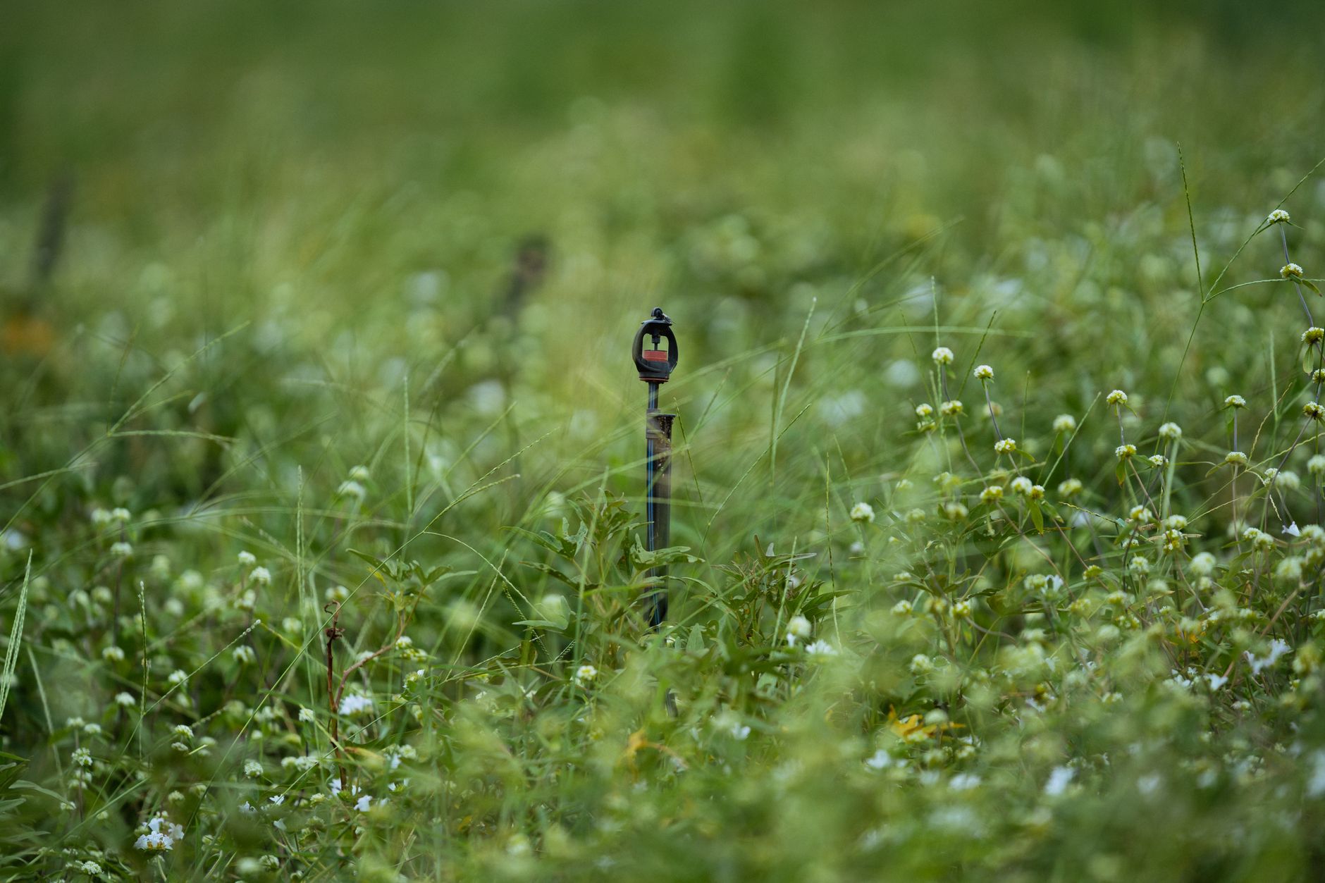
Take photographs before anyone walks, drives or drags equipment over the marks. Shoot one wide frame that includes a fixed landmark, such as a sprinkler head, a cart path edge or a flag stick, and one close frame of the mark itself. Hold the camera level and note the light.
Time-stamp each photo, then match it to the mower's own record of when it stopped. Record the zone ID the mower reports, not the zone you assume it was in. When those two disagree, the disagreement is often the finding.
Add the turf condition at the moment of the photo: wet or dry, recently mown, recently topdressed. A track on saturated turf and a track on dry turf do not behave the same way, and the visibility window in the patent depends on exactly that.
Which fields belong in every log entry
A usable entry is short but complete. Crew members should fill in the same fields every time, so a season of errors can be sorted and compared.
- Date and time of the error, plus the time of the first photo
- Zone ID reported by the mower and the crew's own name for that zone
- The stop state or error shown on the controller or app
- Turf moisture, recent mowing or irrigation, and rain in the prior 24 hours
- Photo file names, with the landmark used in each wide frame
- Name of the person who examined the damage and the repair status
Repair the turf before the next pass
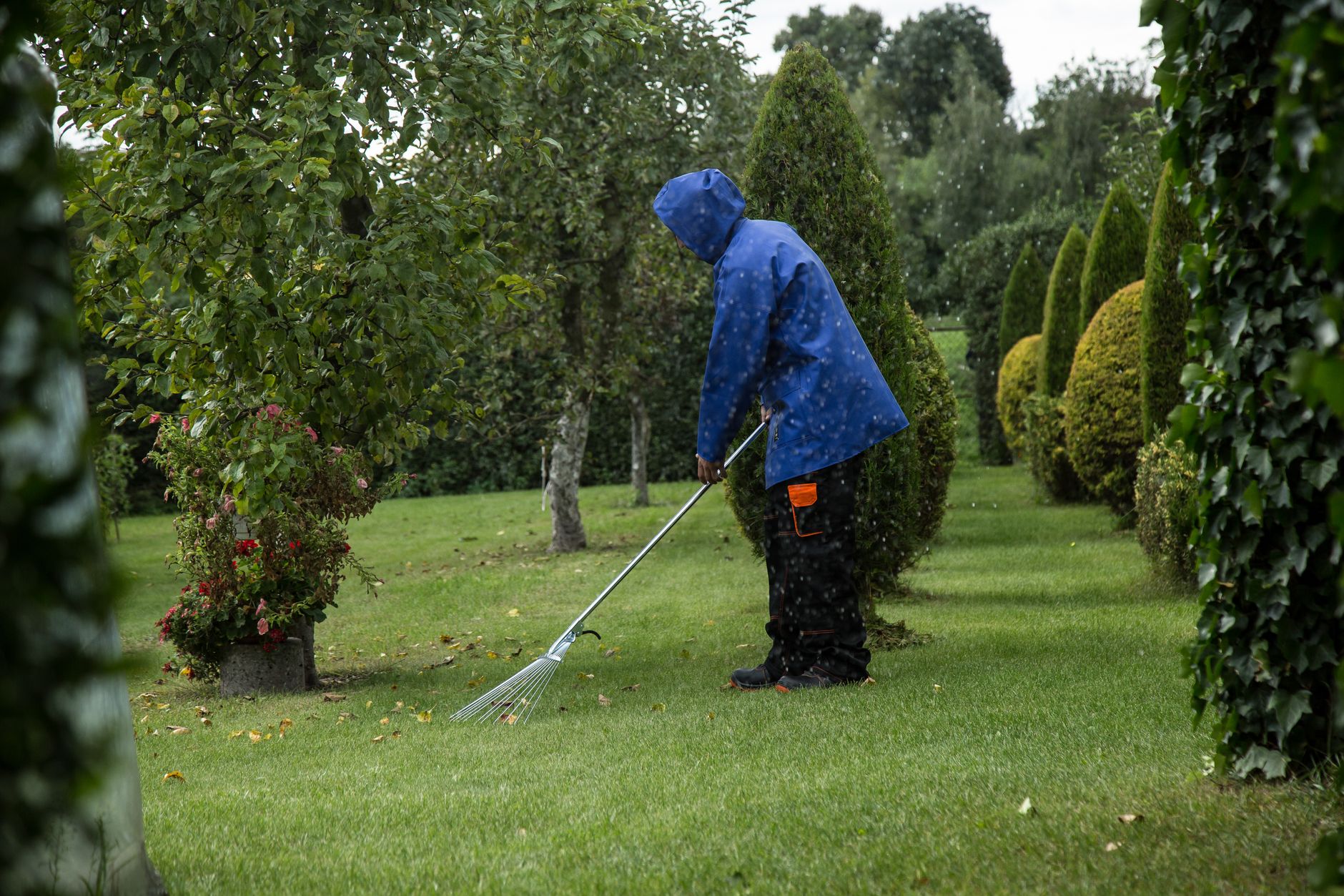
Repair comes first, because the next pass will deepen a mark that has not been fixed. Fill the depression, reset the surface, and patch or reseed bare soil following your superintendent's or agronomist's instructions for the turf type. The mower does not decide that.
Keep the zone out of the schedule until the repair is done and checked. Suspend the zone in the mower's schedule rather than trusting the next run to skip it. A wrong-zone cut needs the same repair, but the schedule change is different.
Check slippage as well. A Roborock support article on boundary exits names uneven ground, wet grass, especially right after rain, and slick surfaces as causes that can push a mower outside its boundary. If the error followed a wet morning, write that into the log before anything else.
Reading the run log against crew notes
The run log shows where the mower believed it was. Crew notes show what people saw. Put both side by side for the same time window, and the likely cause usually surfaces.
Start with the boundary. If the mapped boundary itself cuts through the lawn, the original walk was wrong. If the boundary looks right but the mower's position sits outside it, GPS drift is the likelier cause. That split comes from a Trunetto troubleshooting guide for Mammotion mowers, checked November 2026.
Then check the positioning signal. The same guide says about 60 percent of outside-area errors come from degraded RTK signal, though that is one troubleshooting page's estimate and has not been independently verified. A drop from Fixed to Float can move precision from centimeters to decimeters or worse, enough to cause missed strips or movement out of bounds.
Tree canopy is a frequent culprit. A Trunetto guide for Segway Navimow mowers notes that walking under tree canopy can cause drift, and that if the signal drops at the same spots each session, overhead obstruction is the likely cause. Repeated dropouts at one location in the log are the tell.
Do not remap until the signal holds Fixed status consistently. A boundary walked through a weak signal writes the error into the new map.
When the map needs a fix, and how to redo it
A map fix is justified when the log and crew notes agree the boundary is wrong, or when the base station or antenna has moved. A Navimow guide advises deleting the map and redoing the boundary walk rather than editing single points, and re-mapping after any base station or antenna move (Trunetto guide, checked November 2026).
Buffer distance belongs on the new boundary too. One Navimow guide suggests at least 50 cm between the mapped boundary and roads, pools, steep slopes or drop-offs. That is brand guidance rather than a verified standard, so confirm it against the equipment manual and your own hazards.
This is where a map decision needs a site walk and a second set of eyes. Service Robot Co. is an OEM-neutral robot integrator that handles site assessment mapping, robot deployment and integration, and go live support for commercial robots across manufacturers. A robot lease is quoted as one fixed robot lease payment after that site assessment, so map work is scoped before the mower runs your turf.
Our RoboCare service plan adds remote triage, on-site dispatch from regional service engineers and emergency response nationwide. That gives a crew one partner and one number when a log review does not settle a boundary error. The log review in this article is the first step; the repair and the remap are where dispatch matters.
Turning single incidents into a pattern
One error is an event. The same zone flagged three times in a month points to a map problem, a traffic problem or a signal problem, and the log tells you which. Keep the entries consistent so the pattern is visible.
Bring the summary to the same review as your robot fleet management reports and your cut quality records. A repeated repair on one spot is a real cost, and it belongs in the budget conversation with the same weight as the crew hours.
Frequently asked questions
Want a robot working for you?
Tell us the job and the site. We will recommend the robot, quote the lease, and keep it serviced.
Sources
- US patent 12220940, low-impact turf wheels
- US patent 11919331, robotic mower wheel patent family
- MDPI trial of a commercial autonomous mower
- Toro GeoLink autonomous fairway mower page
- Trunetto troubleshooting guide, Mammotion Luba outside working area error
- Trunetto troubleshooting guide, Segway Navimow GPS signal lost
- Trunetto troubleshooting guide, Segway Navimow not mapping lawn
- Roborock support article, Z1 mower went out of boundary