
The short answer
Drone cost for open-pit mines depends mainly on how much ground each flight covers, how often each bench and stockpile must be surveyed, and what comes with the drone, including mapping software, integration with planning tools, spare units and service. The figure is set by a lease quote after a free site assessment, which measures those factors on the actual pit. Published case studies and vendor reports show field survey time falling from days or many hours to about one day or one hour, though those figures are not independently audited and should be tested on your own site.
Key takeaways
- Survey frequency and the count of benches and stockpiles set most of the workload.
- Field survey time can drop sharply, but the published figures come from vendors and case studies.
- Mapping, software, integration and spare units are where quotes often differ.
- Airspace rules over people and active haul traffic can cut the usable flight window.
- A lease quote follows a free site assessment and should list what it includes.
What drives drone cost for open-pit mines?
Drone cost for open-pit mines is not a single number. It is set by how much ground each flight covers, how often the survey must repeat, and what surrounds the drone, including mapping software, integration with the planning system, spare units and service. Two pits of similar size can land far apart if one is flown every few weeks and the other twice a year.
This page covers those factors in the order a site manager usually meets them. It explains what moves the number, the hidden costs people tend to miss, the crew hours a drone survey replaces, what a drone cannot do over an active pit, and how a lease quote is built after a site assessment.
We do not publish a price here because the inputs vary too much from one site to the next. Where this page cites a figure, it names the source and says whether the figure comes from a government dataset, an academic study or a vendor.
Which pit factors raise or lower the cost?
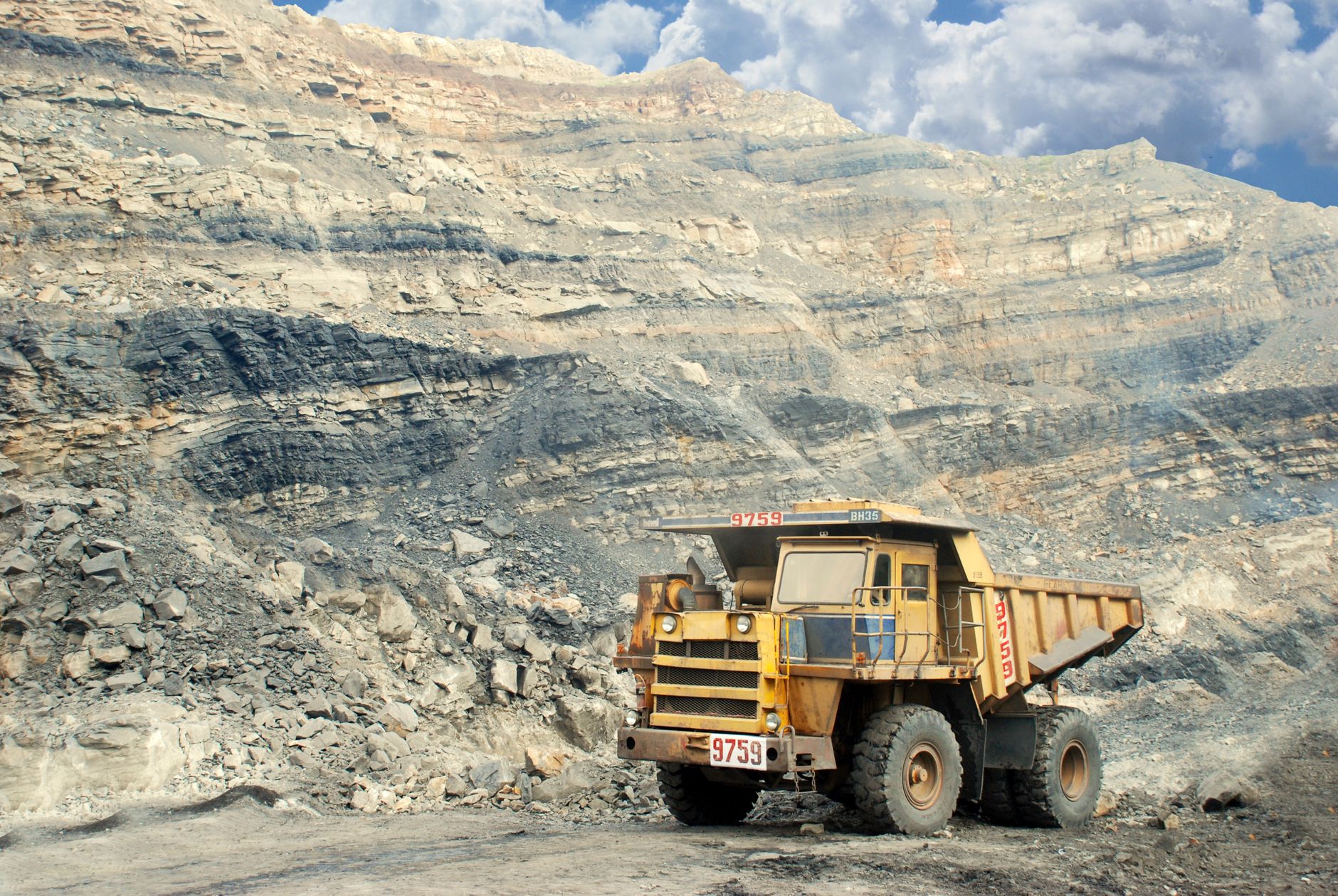
Pit area and bench count are the starting point. A larger pit with more benches means more flight lines, more images to process and more time per survey cycle. Steep faces also change the flight plan, because closer passes are often needed to hold accuracy on the walls.
Stockpiles add a second layer. Each pile needs its own capture pass and volume calculation, so the count, footprint and change rate of the piles all matter. A pit that flies stockpiles for daily reconciliation carries a very different load from one that surveys them once a quarter.
Haul roads depend on traffic. Roads with active trucks limit when a drone can fly, so the usable window per shift can become the real constraint rather than the drone itself. A plan that needs short, timed windows can add cycles and lower utilization.
Survey frequency is the largest lever. The inspection interval sets how many flights a year the program needs, which in turn sets service visits, processing hours and spare coverage. A weekly cycle and a semiannual cycle are two different programs even on the same pit.
How many US mines could use this kind of survey?
According to the Mine Safety and Health Administration's FY2025 At-A-Glance, the United States had 12,568 mines and 327,465 miners in FY2025, including operator and contractor employees. Metal and nonmetal mines accounted for 11,682 of those sites and 264,564 of the workers, and coal mines numbered 886.
The MSHA count covers surface and underground operations together, and the FY2025 figures reviewed for this page did not split out open pits. The total therefore shows how many sites share the same survey and safety pressures, not how many open pits exist. Treat it as context, not as a sizing figure for one pit.
Injury exposure is one reason operators look at aerial survey. According to Aggregates and Mining Today, reporting MSHA's 2025 results, the all-injury rate fell to 1.74 per 200,000 hours worked, down from 1.82 in 2024. That is a sector-wide rate, so it does not show what a single pit would save, but it does show the sector is still working to reduce exposure.
How many crew hours does a drone survey replace?
The clearest gains show up in field time. A mining case study reported by Mining Magazine described a drone survey of a 23 square kilometer site taking one day, against eight to ten days by ground methods, with a three person crew covering the flights and ground control. The operator's figures were not independently audited, so read them as one data point.
A vendor press release, also reported by Mining Magazine, said a section survey dropped from 20 hours of surveying and processing labor to one hour. A vendor blog reported that a stockpile capture at a construction materials producer went from about four hours to about one, with processed data within 24 hours. These are vendor figures and should be tested against your own pit before they shape a plan.
Accuracy matters as much as speed, because a fast survey that misstates volume creates problems in reconciliation. A 2022 study in Frontiers in Built Environment, on a quarry stockpile in Malawi, found a drone volume error of 2.6 percent against 1.3 percent for a traditional survey, and both fell within the plus or minus 3 percent maximum allowable error. A 2020 study hosted by EMU reported UAV photogrammetry volume errors under 4 percent compared with laser scanning, and data collection time was significantly reduced, especially when ground control points were not used.
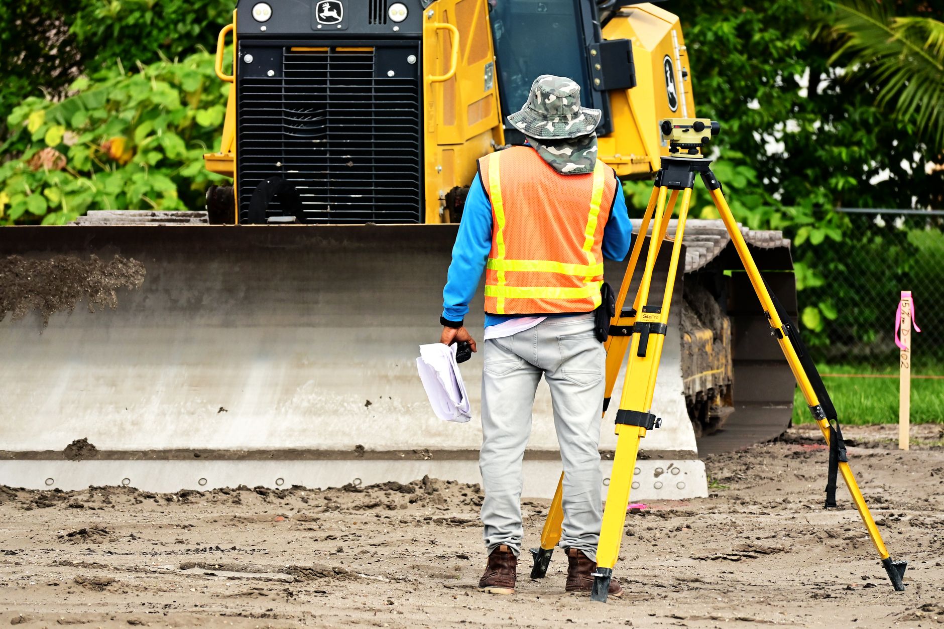
The field crew does not vanish. The work moves from walking the pit to planning flights, checking images, handling ground control and signing off volumes. That review work is the labor to budget for, and it is where the hours of a drone program actually sit.
What costs do people tend to overlook?
The drone is usually the most visible line and the smallest hidden one. Mapping and processing software, which turns images into volumes and surface models, and integration with the planning system can take more setup effort than the flights themselves. Ask for each to be named in the quote rather than folded into a general line.
Maintenance and spares come next. A drone flown every few weeks accumulates wear, and a grounded unit stops the survey cycle. Spare unit coverage or a fast swap matters most at a pit where a missed cycle delays reconciliation or a haul road inspection.
Insurance, training and flight authorizations are easy to miss. Pilots need the right certification, and site rules for airspace and personnel around a live pit must be written into the operating procedure. Training for pilots and for the staff who use the output takes time that belongs in the plan.
Here is what our leases cover. We handle deployment and integration with your mapping and planning workflow, train the pilots and the staff who use the output, and provide service nationwide with on site dispatch and remote triage. Insurance and software terms are confirmed in writing in the quote, so you see them before you sign.
What can a drone not do in an open pit?
A drone captures images and points from the air, and its accuracy depends on flight planning, ground control and processing. It does not remove the need for the survey standard a pit must meet, and it does not replace ground methods where those are required. The FAA's Small UAS Survey Report 2025 counted 57.8 million UAS flights and 21.7 million flight hours in calendar year 2025, which shows how routine these operations have become. Of its respondents, 13,901 were qualified Part 107 core operators.
Airspace rules limit where a drone can fly. A National Law Review analysis of the rules notes that flights may not pass over people not directly involved in the operation, unless they are inside a building or stationary vehicle. On a pit with active haul trucks and crews, the flight plan must work around those rules, which can narrow the usable window per shift.
Weather and light also stop flights, so the schedule should allow for lost days. A drone cannot see under overhangs or inside underground workings, and it cannot fly an area the plan cannot clear. Those gaps need ground methods or a planned alternative, and the quote should say which areas are excluded.
How does leasing through financing work?
Leasing spreads the cost of the drone over a fixed term rather than requiring the full equipment cost at once. The lease payment is fixed for the term and is quoted after a free site assessment, so the number reflects your pit, your survey cycle and your service needs rather than a generic figure.
The quote should show what it includes: the lease payment, deployment and integration, training, maintenance and service, and any spare unit coverage. Ask what happens if the drone is down during a survey window and how fast a replacement can be dispatched.
Term length matters. A longer term often lowers the fixed payment but commits you to the drone for longer, so match the term to how long the survey program is expected to run and how fast the site's needs might change.
A site can also start small. One drone on the pit with the highest survey frequency can prove the workflow before a second unit or a second pit is added, and the quote can be scoped to that first step.
How should you compare two quotes?
Compare quotes on the same scope: the same pit, the same bench and stockpile count, the same survey frequency, the same output format and the same service response time. A lower lease payment with slower dispatch or no spare coverage can cost more in lost survey days.
Ask for the flight plan, the data format and how the volumes reach your planning software. If a provider cannot show a sample of its output on a pit like yours, treat its accuracy and time claims as unproven.
Also ask who signs off the survey output and how ground control is handled. Those answers decide whether the drone output can be used directly or needs a second check, and that second check is where many of the hidden hours appear.
How do I get a quote after a free site assessment?
Start with a free site assessment. We review the pit or the site plan, note the bench count, stockpile count, haul road length, traffic windows, survey frequency and the software in use, and then sketch the flight plan that would cover them.
The quote follows the assessment. It sets the fixed lease payment, the term, deployment and integration, training, service and any spare unit coverage. Insurance and software terms are confirmed in writing, so nothing important sits only in a conversation.
To speed things up, bring the survey calendar, the list of pits and stockpiles, the existing survey method and the software that receives the output. Those four items are the fastest way to get a quote that fits your pit.
The goal is a clear answer to what drives the cost of a drone at your open-pit site, with the crew hours and the lease terms written down before any decision is made.
Frequently asked questions
Want a drone at your open-pit mine?
Tell us about your site. We will recommend the robot, quote the lease, and keep it serviced.
Sources
- MSHA FY2025 At-A-Glance
- Aggregates and Mining Today, report of MSHA 2025 injury rate
- FAA Small UAS Survey Report 2025
- Mining Magazine, drone survey case study reports
- Frontiers in Built Environment, 2022 stockpile volume study
- EMU 2020 UAV photogrammetry study
- Vendor blog on manual stockpile surveys versus drone surveys
- National Law Review, drone flight rules analysis