
The short answer
Drone cost for hydroelectric dams depends on how much of the structure needs regular visual checks, how hard each area is to plan for (dark penstocks, spillway gates and flights beyond visual line of sight), how the imagery is mapped into your asset records, and how many units and service visits the site needs. Commercial robot leasing through financing turns those factors into a fixed robot lease payment, quoted after a free site assessment rather than taken from a single average.
Key takeaways
- The price depends on the structure you inspect, the flight rules that apply and how the images feed your records.
- Dark penstocks and spillway gates add planning work that a surface photo never does.
- Most of the cost moves with mapping, integration and service, not with the aircraft alone.
- Required dam safety inspections do not go away, so a drone supports the record instead of replacing it.
- A lease quote is set after a free site assessment, with what is included listed line by line.
What does drone cost for hydroelectric dams depend on?
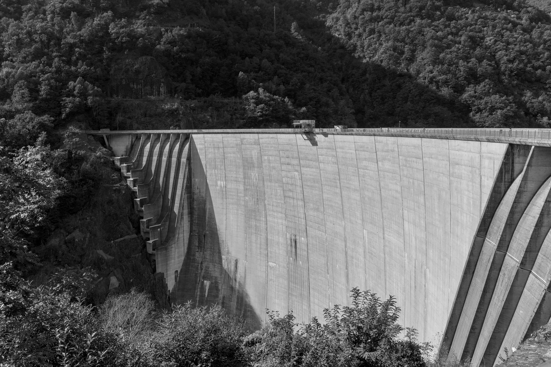
A hydroelectric dam is not one surface. It is a concrete wall or embankment, a spillway with gates, an intake, a penstock running down to the powerhouse, and a tailrace below. Each part has different access, lighting and risk, so the drone cost for hydroelectric dams is really the cost of covering those parts with the right flights, the right records and the right service.
Start with scope. The number of structures, their height and length, and how many faces need imagery decide how many flights and how much mapping work follow. A single gated spillway and a long embankment with a powerhouse are different jobs, even on the same river.
According to the Department of Energy's 2026 U.S. Hydropower Market Report, the fleet reached 2,258 plants with 80.55 GW of total generating capacity, and the report says the fleet added 2.1 GW between 2010 and 2025. Those plants range from small run-of-river sites to large storage projects, so the same drone can be a small job at one site and a large one at another.
The rest of this page works through what moves the number, what gets missed in budgets, how much crew time a drone can take over, and how a lease quote is built. None of the figures here is a price. Each one is a factor you can check at your own site.
Why do hydro sites inspect with drones at all?
FEMA's National Inventory of Dams lists 92,075 dams and says about 3% of them have hydropower. Hydro dams also sit under a dense inspection regime. According to a Renewable Energy World summary of FERC's final rule, Order No. 880 from 2022 adds two tiers of project safety inspections by independent consultants, on top of FERC staff's regular dam safety inspections. The inspection record has to show what was looked at and when.
A DOE Inspector General audit says FERC's Operating Manual sets inspection frequency by the dam's hazard classification. The higher the hazard class, the more often the structure is looked at. We did not verify exact intervals against the regulation text, so the schedule for your project should come from the regulator and your engineer of record.
Pumped storage adds more to look at. The 2023 DOE Hydropower Market Report counts 43 pumped storage plants in the U.S., with about 22 GW of generation capacity and about 553 GWh of storage. Those sites have upper and lower reservoirs and long waterways, which lengthen the list of surfaces to cover.
This is where the drone fits. It photographs spillways, penstocks and concrete faces from above and from safe standoff positions, so crews go onto the structure only where a closer look is needed. The drone does not change the inspection duty. It changes how much of that duty needs a person on the surface.
What moves the cost up or down at a hydro dam?
Drone cost moves with the structure, the flight conditions and the support around the flights. The aircraft is rarely the largest part of the number. Mapping, integration and service carry more weight than most buyers expect.
Size and surface count come first. A long concrete face with many panels needs more flight lines and more overlap than a short one. A penstock is different. It is dark, often wet, and may need lighting or a dewatered section before anyone flies it. A spillway with gates adds moving parts and water spray that limit where the drone can hold position.
Flight rules come next. Flying beyond visual line of sight requires a waiver under 14 CFR 107.31, according to the Part 107 rule text. Night operations and flights over people follow their own conditions, and secondary guides summarize those conditions differently, so the rules for your flights should be checked against the up to date eCFR before scheduling.
Then the records. Imagery is only useful if it lands in the same asset register that engineers use. Mapping the structure, tagging defects to locations and matching new images to prior surveys adds planning and software work that a single photo shoot does not need.
Units and service round it out. One drone covering several nearby dams has a different cost shape than a unit at each site. Service visits, spare units and how quickly a failed unit is replaced during a high-water period all change the total.
Where does the drone actually fly on a dam?
A drone program on a dam covers more than the top of the wall. The useful work is in the places that are slow, dangerous or hard to see from the crest, and each of those places asks different things of the aircraft.
A face needs even overlap and a steady standoff distance. An intake needs a close look at debris build-up on the trash racks. An interior needs light and a clear exit. Plan each zone before the first flight rather than treating the whole dam as one survey.
Our review found no spillway or penstock hours-saved figure from an independent or government source. That means the case for each site rests on its own access problem, not on a published average. The zones below are the ones we plan for most often.
How many labor hours does a drone program take over?
The verified research for this page does not include a measured hour figure for hydro sites. It found no spillway or penstock hours-saved number from an independent or government source, and no hydro-specific staffing or turnover data. Hour estimates for your dam should come from your own inspection logs during the site assessment, not from an industry average.
A vendor case study reports a large cut in penstock inspection time, but we did not rely on it because it is one vendor's account of one structure.
The shape of the saving is clearer than the number. Traditional penstock work often needs dewatering and scaffolding in dark, slippery conditions. Crew time on the spillway goes to walking the crest and gates to see what needs a closer look. A drone moves most of that looking into a flight, then sends people in only where the images show a problem.
Crew safety matters here. Summaries of OSHA and BLS data name falls and overexertion as major injury sources for electric utilities. BLS Economics Daily reported combined electric power generation, transmission and distribution injury rates of 4.1 in 2003 and 4.5 in 2004. Those figures are old and cover the whole sector, so they show the risk category, not your site.
Whether a drone is worth it depends on how many crew hours on the structure it can replace at your site, and how often the structure is inspected. Put those two numbers next to the lease quote and the decision becomes concrete.
How does drone leasing through financing work, and what does the quote include?
We lease drones for dams through financing, so the cost arrives as a fixed robot lease payment instead of one large equipment bill. You do not need to tie up capital before the first survey. The payment is set in a quote after a free site assessment, because the factors on this page differ at every structure.
The quote covers the parts that drive the number. It lists the drone and any spare units, the mapping plan and the flight plan, including the waiver work for beyond visual line of sight flights where one applies, deployment and integration with your records, training for your pilots and reviewers, and service nationwide with on-site dispatch and remote triage for faults. Maintenance and insurance terms are written in, line by line.
We pick the right robot for the site, lease it through financing, deploy and integrate it, train your staff and service it nationwide. That gives you one partner and one number for the lease, the setup and the upkeep, and one document that shows what is inside the lease.
Ask for the lease term, what happens at the end of it, and what a replacement looks like during a high-water period. Those three answers change the total more than any single component.
What can a drone not do on a dam?
A drone does not replace the engineer, the required inspection or the physical work of a crew. It produces imagery and a record. Deciding whether a crack is serious, what a seepage pattern means, or when a gate needs repair stays with qualified people.
Weather is a real limit. Wind, rain, spray near spillways and low light cut flight windows. A dam in a high-water period may have days when no flight is safe, so the plan needs a conventional fallback.
Some interior spaces are out of reach. A penstock with no lighting, no safe exit or active water flow may not allow flight at all, and then the drone gives only a partial view. Say so in the site assessment rather than assuming full coverage.
Regulatory limits apply too. Beyond visual line of sight flights need a waiver under 14 CFR 107.31. Operations over people depend on the drone category, and night flight rules are summarized differently across guides, so confirm them against the up to date eCFR before committing a schedule.
How do I get a drone cost quote for my dam?
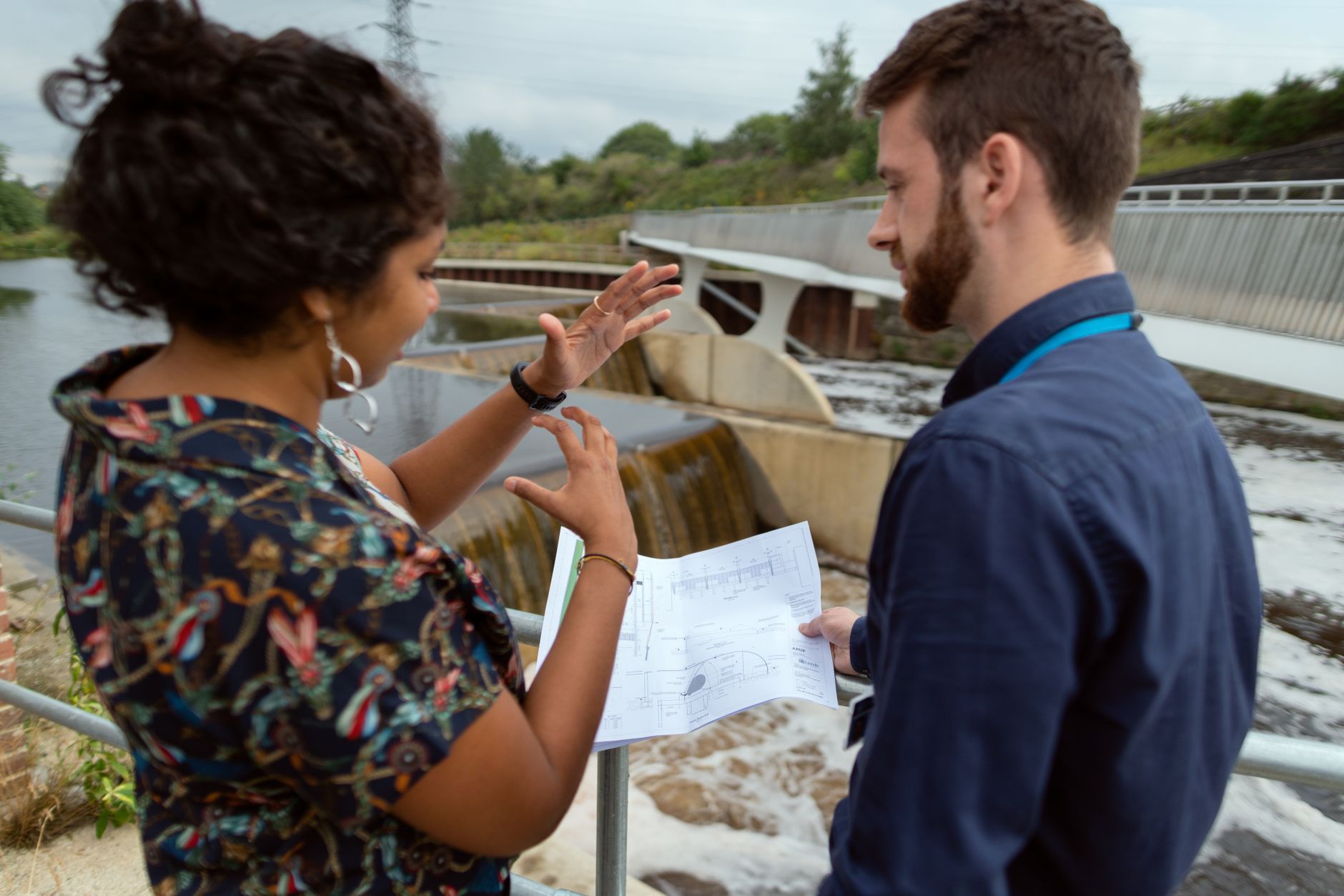
Start with what you already have: inspection reports, drawings of the spillway, penstock and intake, the hazard classification, and the last two or three survey records. The more complete the packet, the closer the site assessment comes to a firm lease quote.
Then book the free site assessment. We walk the structure, check access and lighting, confirm the flight rules, plan the mapping, and list the units and service the site needs. The quote follows, with the fixed robot lease payment, the financing terms and what is included spelled out.
We are a US commercial robot integrator. We pick the right robot for the site, lease it through financing, deploy and integrate it, train the staff and service it nationwide. Our approach is vendor neutral, so the choice follows the structure and its flight conditions.
Send the packet, name the structures that need coverage, and say which decisions stay with your engineers and which sit with your operations team. A quote built from your site is more useful than any average figure, and it is the number worth taking to the people who sign off.
Frequently asked questions
Want a drone at your hydroelectric dam?
Tell us about your site. We will recommend the robot, quote the lease, and keep it serviced.