
The short answer
Drone ROI for quarries comes mainly from fewer hours spent surveying pit floors and stockpiles, and from keeping crews off unstable highwalls and pit toes. Vendor and trade case studies report a large quarry survey taking about 2 hours in total versus upwards of 20 person-hours on the ground, but those figures are company-reported. The savings range is built from the survey hours a drone takes over, and the lease quote follows a free site assessment.
Key takeaways
- Most of the return comes from survey hours and from keeping people off unstable edges.
- Vendor hour figures are company-reported, so check them against your own timesheets before relying on them.
- In a peer-reviewed Malawi quarry study, drone volume error was 2.6% against 1.3% for the traditional method, and both were within a tolerance of plus or minus 3%.
- Flights beyond visual line of sight still need an FAA waiver under Part 107, so authorization is the biggest timing risk.
- The savings range depends on the share of the work a drone takes over, and the lease quote comes after a free site assessment.
Run the numbers for your site
Pick your city or state for a real regional number - we use the real BLS wage there. (On the live site this auto-detects from your location.)
What do you want to automate?
The unit runs the repetitive patrol and watch; guards handle the judgment calls.
What is drone ROI for quarries?
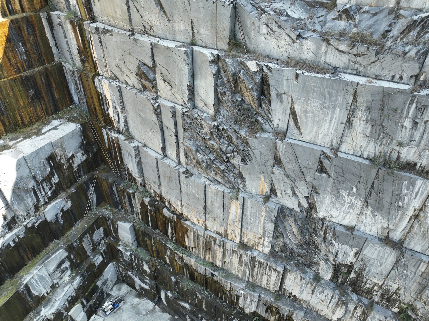
Drone ROI for quarries comes from two places: fewer hours spent surveying pit floors and stockpiles, and fewer people walking near high walls and unstable edges. In a conventional survey, a crew walks the stockpile footprint, sets and shoots ground control points, and records the surface. A drone flies the same ground in a fraction of that time, and the people who would have stood at the edge can stay back.
So the return is partly labor and partly exposure. The labor part can be checked against your own timesheets for a survey cycle. The exposure part is harder to put a number on, but it is the reason many operators look at drones in the first place, and incident data for these sites shows why it matters.
The savings range on this page is built from hours rather than from a promise. It takes the survey and edge watch hours a drone realistically takes over and values them at the government wage rate for the work involved, so the range moves when the inputs move.
How many quarries and pits could use drone surveys?
According to the USGS Mineral Commodity Summaries, U.S. crushed stone production was about 1.5 billion tons in 2024, down 6% from 1.55 billion tons in 2023. That single commodity gives a sense of how much material moves through pits, stockpiles and haul roads every year.
A trade magazine summary of USGS data reports that 3,423 operations produced crushed stone in 2023, and that 397 of them, or 4.2%, had outputs of 1 million metric tons or more. The larger operations have the most stockpile volume to measure, so a regular survey program has the most work to do there, though smaller sites also have edges to manage.
Staffing figures for these sites are not well covered in the research gathered for this page. No verified typical headcount per site was found, so the crew size shown in the page data is a planning assumption, and a site should confirm its own crew size during assessment.
Median hourly wage, Security Guards
$4,317
Monthly cost of one full-time worker, at the median wage plus payroll costs (an estimate, not a quote).
Why do drone surveys fit unstable edges?
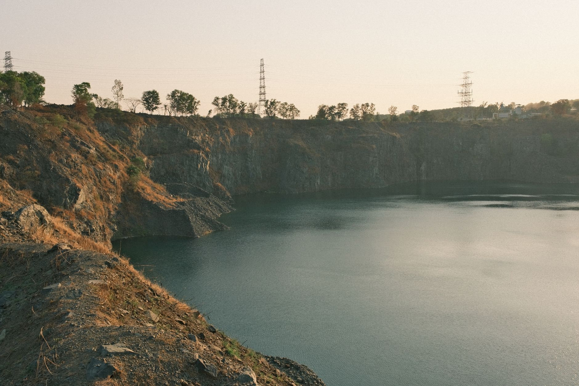
Highwalls and the toe of a pit are where the serious incidents happen. According to an MSHA fatality alert dated March 28, 2025, a miner digging at the toe of a highwall in Kansas was killed when sand from the highwall engulfed the front-end loader. The lesson for a survey plan is direct: the less time anyone spends below or beside a face, the less exposure there is.
A second MSHA alert, dated August 7, 2025, describes a Michigan sand and gravel incident in which a contractor's front-end loader traveled over a highwall edge and fell about 70 feet. MSHA called it the 18th fatality of 2025, and the seventh of those classified as powered haulage. Haulage and edge work are the places where a drone removes a person from the hazard entirely.
A drone does not remove the hazard itself. It removes the need to put a surveyor on the edge to measure it. Haul roads, loader work and the toe of the wall still need the usual controls, so the drone sits inside the existing safety program rather than replacing it.
How much survey time does a drone save?
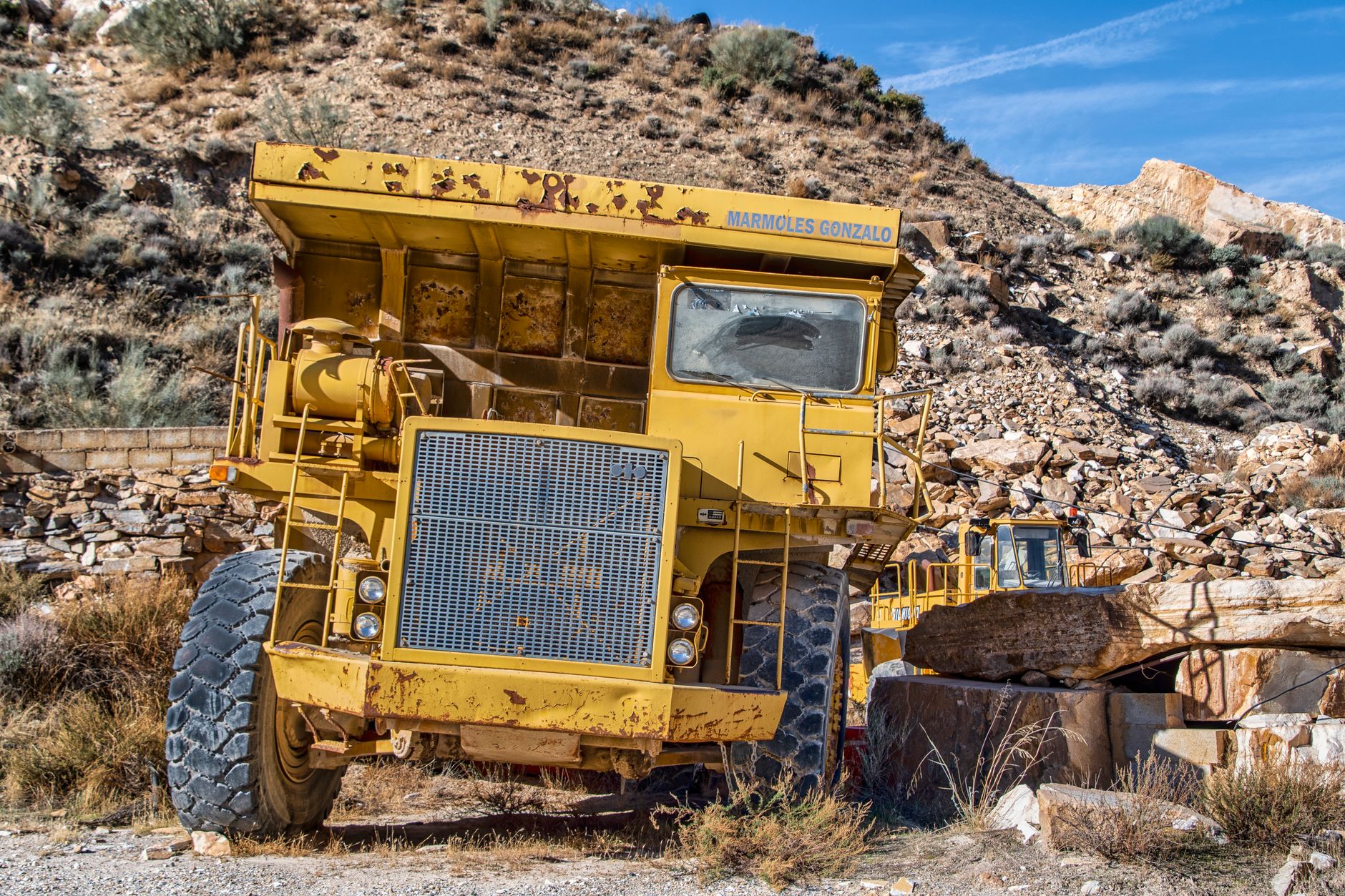
The clearest hour figures come from vendor case studies, which should be read as company-reported. One case in Ontario describes a 1,400-acre quarry survey that takes about 2 hours including flight and data extraction, versus upwards of 20 person-hours for a ground survey. Across six sites, the same case reports twice-yearly aerial surveys cutting labor from about 240 hours a year to about 12, a saving of 228 hours.
A trade press case from Texas describes an 800-acre sand site flown in about 15 minutes, with processing taking about 4 hours. The operator measures stockpile volumes weekly and pit topography monthly, a cadence that is hard to keep with a crew on foot.
The flight is the short part of the job. Processing, control checks and reporting take up most of the remaining hours, so the savings depend on your data workflow as much as on the aircraft itself.
How does the savings math work?
The savings range is the product of three inputs. The first is the hours of survey and edge watch work the drone takes over each month. The second is the realistic share of that work a drone can take, which is always less than all of it, because some tasks still need a person on the ground. The third is the lease cost, which is a fixed lease payment quoted after a site assessment.
On the labor side, the hours are valued at the local wage for this job, which is security guard type of work, using the government wage data shown on this page. The surveyor time a drone replaces is not priced here and is not the basis of the range. Hours saved are then weighed against the lease payment over the lease term, and the net is the range you see.
Service Robot Co. is a US commercial robot integrator. We pick the right platform for the site, lease it through financing, deploy and integrate it with your survey workflow, train your staff and service the unit nationwide. The lease figure comes from a free site assessment, not from this page.
What changes the number up or down?
The biggest levers are the share of work the drone takes over and how often you survey. A site that measures stockpiles weekly gets far more hours back than one that surveys once a year, so cadence should be decided before the math is run.
Site size, stockpile count and the number of pit faces also change the result, because a larger footprint carries more ground survey time for the drone to compress. Authorization timing and the data workflow change how quickly the hours actually show up.
- Edge exposure
Drone
Flies over the pit toe and highwall without anyone standing at the edge
Staff
Must walk or stand near the edge to set up and check control points
- Volume error
Drone
2.6% in the Malawi study, within a tolerance of plus or minus 3%
Staff
1.3% in the same study, within the same tolerance
- Time to survey
Drone
About 15 minutes in the air over an 800-acre site in one trade case
Staff
Upwards of 20 person-hours for one 1,400-acre ground survey in a vendor case
- Judgment on site
Drone
Records the surface but does not judge ground conditions
Staff
Reads ground conditions, spots cracks and questions the data
- Weather and light
Drone
Limited by wind, rain and flight rules
Staff
Can still work on foot when the aircraft cannot fly, but near the edge
- Rules and paperwork
Drone
Needs FAA authorization, and beyond visual line of sight needs a waiver under Part 107
Staff
Works under the site's standard safety rules
Drone vs ground survey: is the data accurate enough?
A peer-reviewed study of a quarry in Malawi, published in Frontiers in Built Environment in 2022, compared drone and traditional methods for stockpile volumes. The drone volume error was 2.6%, against 1.3% for the traditional method, and both sat within a tolerance of plus or minus 3%. The authors describe drones as fast, cost-effective and safer for stockpile volumes.
That is a sound basis for planning, but it is not a claim that drones beat the ground method. The ground survey had the smaller error in that study, so a drone program should be framed around staying within tolerance while reducing exposure, not around winning on precision.
The paper's excerpts do not give an hours figure, so the time savings on this page come from the vendor and trade case studies, not from the study.
What are the risks to the return?
The biggest risk is an authorization path that runs longer than the plan. Flights beyond visual line of sight still require an FAA waiver under Part 107. According to a trade publication, the FAA Part 108 rule was sent to White House review on July 10, 2026, and as of early October 2026 it had not been published in the Federal Register.
The second risk is weather and light. Wind and rain can ground the aircraft on the days you most need a survey, so the plan should include a ground survey fallback window rather than a fixed date every month.
The third risk is hidden processing time. A flight of about 15 minutes can still leave a day of processing and checking if the workflow is not set up in advance. Agree on report format, tolerance and sign-off before the first flight, and keep a surveyor responsible for the final numbers.
How long until payback?
Payback follows the sequence from assessment to deployment to a first full survey cycle, and it is reached only after several cycles, because the early flights carry setup, authorization and training work. The biggest variable in timing is the authorization path, so start that step first.
A practical sequence runs like this: a site assessment that maps pit faces, stockpiles, haul roads and no-fly areas; a check of the authorization route; a pilot flight set against an existing ground survey so the team can compare volumes; staff training and report sign-off; then routine surveys on the chosen cadence.
Once the routine cycle is running, the hours saved are compared with the lease payment. Payback is the point where cumulative hours saved cover the lease cost over the term. That point moves with survey frequency and with how much of the work the team actually hands to the drone, so track both from the first month.
How do I get a precise figure from a free site assessment?
The range on this page is a starting point. A precise figure needs your site: pit footprint, stockpile count, survey cadence, haul and highwall layout, and the hours your team spends on each survey today. A free site assessment gathers those inputs and returns a lease quote tied to them.
Bring a recent survey report or the timesheets for one survey cycle, a list of stockpiles and highwalls with their survey frequency, and any existing authorization or waiver. The assessment then maps the site, checks the authorization route and models the hours the drone realistically takes over.
Service Robot Co. handles the rest: selecting the platform for the site, leasing it through financing, deploying and integrating it, training your staff, and servicing it nationwide. The lease quote follows the assessment, so no lease figure appears on this page.
Frequently asked questions
Want a drone at your quarry?
Tell us about your site. We will recommend the robot, quote the lease, and keep it serviced.
Sources
- US Bureau of Labor Statistics, Occupational Employment and Wage Statistics (OEWS May 2024)
- Pit & Quarry summary of USGS crushed stone data
- USGS Mineral Commodity Summaries 2025, crushed stone
- MSHA fatality alert, March 28, 2025
- MSHA fatality alert, August 7, 2025
- DroneDeploy case study, Whitewater Hydrogeology
- For Construction Pros, quarry drone data article
- Frontiers in Built Environment, 2022 Malawi quarry study
- PickDrones, FAA Part 108 rule review delay