
The short answer
Drone ROI for railroads comes mainly from fewer crew hours spent walking or driving long track, right-of-way and bridge inspections, offset by the share of that work a leased drone can realistically capture. The savings range depends on the track miles covered, how often each route is inspected, and how much of each check still needs a person on the ground. A free site assessment turns those inputs into a savings range and a lease quote.
Key takeaways
- Most of the return comes from crew hours spent walking or driving inspection routes, not from the drone itself.
- Routine beyond visual line of sight flight was still awaiting final federal rules in the latest coverage found, which limits unattended flight today.
- Safety gains are real but hard to price, so keep them out of the hour math.
- Confirm the savings range with your own route logs at a site assessment before you decide.
Run the numbers for your site
Pick your city or state for a real regional number - we use the real BLS wage there. (On the live site this auto-detects from your location.)
What do you want to automate?
The unit runs the repetitive patrol and watch; guards handle the judgment calls.
What return can railroads expect from drone ROI for railroads?
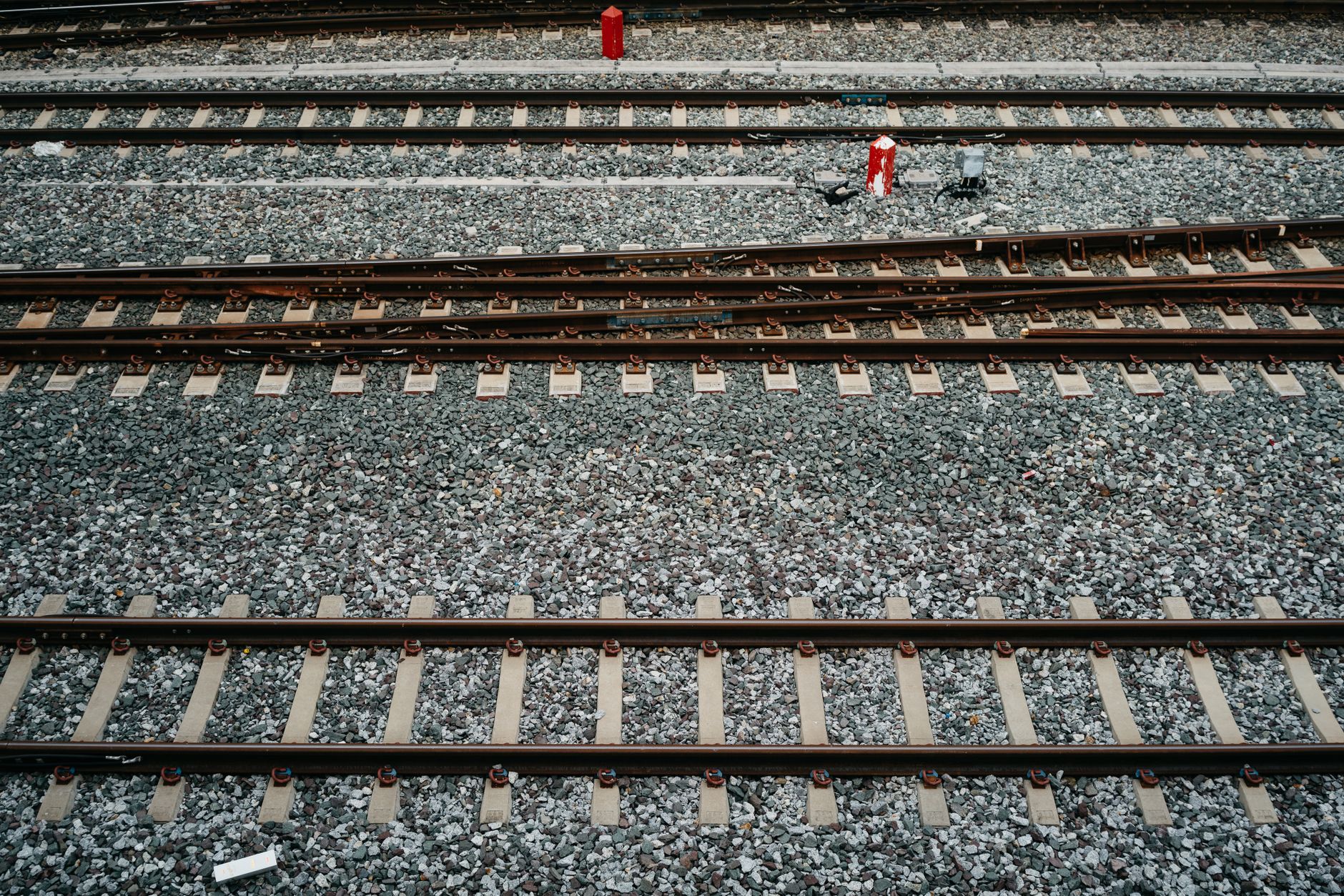
Drone ROI for railroads usually comes from fewer crew hours spent walking or driving long inspection routes. Track, right-of-way and bridges cover far more ground than a crew can walk in one shift, so a drone that captures imagery along a corridor can take over part of that walking. The return is real but partial. The drone takes over the work a camera can capture from the air, while crews still handle hands-on checks, repairs and anything imagery cannot show.
Treat every figure on this page as a range, not a promise. The savings range depends on how many track miles and bridges you inspect, how often each one is walked, and how much of each inspection can be done from images. The sections below explain each input and what to confirm before you decide.
How large is the network a drone would cover?
According to a RailServe compilation of Association of American Railroads figures, Class I railroads operated about 93,628 route miles in 2015, down from 94,372 in 2014. That is a secondary compilation, and no 2024 or 2025 route mile figure was found in the sources checked, so treat it as a scale check rather than a current count.
RailServe also says track miles run about 1.7 times route miles, a ratio it describes as steady since the 1920s. That matters for planning, because walking load follows track miles, sidings and yard tracks rather than the route miles on a map. Build the flight and crew plan from track miles, then confirm the count during assessment.
According to the Bureau of Labor Statistics Occupational Outlook Handbook, railroad workers held about 77,900 jobs in 2024, and conductors and yardmasters accounted for 36,800 of them. BLS industry tables list rail-track laying and maintenance equipment operators at 10,390 for 2024, the group most closely tied to track upkeep. The handbook projects railroad worker employment to grow 1 percent from 2024 to 2034, slower than the average for all occupations, so the crews you have are likely the crews you keep.
Median hourly wage, Security Guards
$4,317
Monthly cost of one full-time worker, at the median wage plus payroll costs (an estimate, not a quote).
How does the drone ROI math work for a railroad?
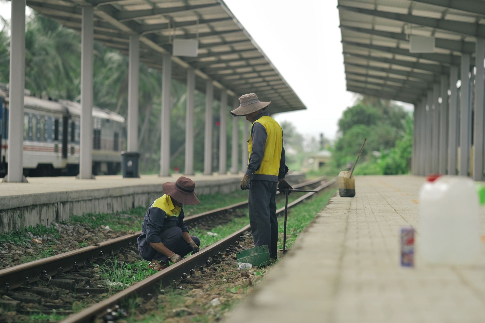
The savings range starts with labor hours. Take the hours a crew spends walking or driving an inspection route, multiply by how often that route is inspected, and reduce the total to the share the drone realistically captures. The result is the set of hours that move off the crew's plate. The labor side is priced against the government wage data on this page for Security Guards, because the work a drone takes over is close to visual patrol: looking along a corridor and noting what is there.
Lease cost is the other side of the calculation. We lease commercial robots through financing on a fixed robot lease payment, so the lease is a known recurring cost set against a known set of hours. The lease is quoted after a free site assessment, and deployment, integration, training and nationwide service are part of the same quote. Net savings is the hours moved off the crew, priced at the wage, minus the lease cost, shown as a range.
Hands-on time stays in the math. Every defect that needs a person to confirm it reduces the hours a drone can take, so the calculation counts only the walking and driving that the imagery replaces. A route made mostly of visual checks gives a larger share than a route full of spot inspections.
No published count of drone operators at a railroad site was found. The typical headcount on this page is a planning assumption of two people per site, used for scheduling until the assessment confirms it.
What changes the drone ROI up or down?
The biggest lever is how often the same corridor is walked. A bridge or yard inspected every shift is a different case from a right-of-way checked a few times a year, because repeat flights spread the lease cost across more hours. Route length matters too, but battery endurance limits how much one flight covers, so long lines usually need planned segments rather than a single run.
Regulation sets how far a drone can fly without a visual observer. The FAA sent its final beyond visual line of sight rule to the White House review office on July 10, 2026, after the statutory deadline of January 16, 2026 had passed. According to the latest coverage found, which ran into September 2026, the rule was still under review. Industry coverage also says routine beyond visual line of sight flight still requires a Part 107 waiver or a Part 135 certificate until the rule takes effect.
Two field conditions move the number as well: the share of defects that still need a person on the ground, and the weather days each season that keep drones grounded. Count both from your own logs, not from a national average.
Does safety add to the drone ROI for railroads?
Safety is a real benefit, but it is hard to price, so keep it separate from the hour math. According to the Association of American Railroads, Class I railroads set a second consecutive all-time record-low rate of employee injuries and fatalities in 2024, and the Class I railroad rate fell 46 percent since 2005. Progressive Railroading reports that the association later said Class I railroads achieved their lowest-ever employee injury rate in 2025, and that the Class I employee casualty rate declined 54 percent in 2025.
Industry rates give a useful baseline. The ASLRRA Jake Safety Award for 2024 used an industry average reportable injury frequency of 2.31 for railroads other than Class I, transit, commuter and passenger rail, measured as reportable injuries per 200,000 employee work hours. Less walking of right-of-way may reduce exposure, but no verified rate change tied to drone inspection was found, so do not add one to the savings range without your own incident data.
How are railroads already using drones?
Railroads already fly drones, though most published use is facility and yard work. According to Railway Age, one Class I carrier flies about 1,200 drone flight hours each month across two intermodal facilities, and more than 680 of its 4,500 drone flight hours were beyond visual line of sight under the FAA Pathfinder program. Those are facility and yard flights, so use them as direction, not as a track inspection benchmark.
The same reporting says track-defect rollouts were set to begin at the end of that year, which is the closest published sign of drones moving onto the track itself. The publication date was unclear in the source, so confirm the timing before you cite it internally. For bridges, a trade report on a truss bridge inspection says railroads must suspend operations for traditional bridge inspections, while drones avoid that disruption.
What are the risks to the return, and how do you avoid them?
The first risk is overbuilding the case. If imagery still needs a crew to walk the line and confirm a defect, the hours saved are smaller than the flight count suggests. Avoid this by pricing only the walking hours the imagery replaces, and by writing down which defects still need a hands-on check before go-live.
The second risk is regulatory delay. Until the beyond visual line of sight rule takes effect, a segmented, line of sight plan is the realistic baseline. The third is weather. Wind and precipitation stop flights, which moves work back to crews on those days. Build a fallback route for those days into the plan from the start, not after the first missed flight.
A fourth risk is the one most often missed: where the freed hours go. Hours taken off walking still need a plan, or the saving turns into idle time. Decide before go-live whether those hours go to hands-on defect checks, repairs or other maintenance, and write that into the crew schedule.
- Coverage per shift
Drone
Flies a corridor in segments and captures imagery along the whole length, limited by battery and line of sight rules.
Staff
Walks or drives a set section more slowly, but can stop at each feature.
- Detail on a single defect
Drone
Captures images for review, and close-up detail depends on camera and distance.
Staff
Can touch, measure and judge the condition on site.
- Bridge inspection
Drone
Avoids the suspension of operations that traditional bridge inspection can require.
Staff
Still needed for structural checks that imagery cannot confirm.
- Weather
Drone
Stopped by wind and precipitation on flight days.
Staff
Works in most conditions with the right gear.
- Record over time
Drone
Produces a repeatable image record for comparison from one cycle to the next.
Staff
Records notes, and the detail varies from one inspector to another.
- Live hazard
Drone
Cannot stop work, secure an area or act on a hazard on the ground.
Staff
Can stop work, secure the area and call it in.
What is a realistic timeline from assessment to payback?
The timeline starts with the site assessment. It maps the corridors, bridges and yards, confirms the flight rules that apply, and sets the hour baseline from your own crew logs. A limited pilot on one segment follows, so the team can measure hours before committing to the whole network. Deployment, staff training and go-live support come next as crews adjust their routines.
Payback depends on the lease term and the hours captured. Payback is the point where cumulative hours moved off the crew, priced at the government wage data on this page, exceed the lease cost. Expect the early months to show the most learning, because the first flights reveal which segments still need a person on the ground. The savings range tightens as recorded hours build up.
Regulatory timing can shift the schedule. If the beyond visual line of sight rule takes effect during a pilot, segments that were line of sight only can be re-planned. Build the pilot so the segment plan can change without a new assessment.
How do I get a precise figure from a free site assessment?
The savings range on this page is a starting point. A precise figure comes from a free site assessment, where we map your corridors, bridges and yards, count crew hours on each inspection route, and mark the share a drone can capture. We then quote the lease through financing, with deployment, integration, training and service included in the same quote and no hidden fees.
Bring your inspection schedule, route lists, track miles and bridge counts, crew hours per route, and any incident logs. The more of those inputs you bring, the tighter the range. Where a gap remains, such as the route count or the local airspace rules for each corridor, the assessment fills it before any lease terms are discussed.
Which railroad drone figures can I trust today?
Few published figures tie drones to hours saved on railroad track or bridge inspection. The sources reviewed for this page give network size, workforce, safety rates and early drone flight hours, but none of them measures inspection hours saved. That is why the savings range has to come from your own routes.
A bridge inspection benchmark circulating online, which claims a few hours per bridge by drone against eight or more by manual lift, could not be traced to its original study, so this page does not use it. Ask for the original study behind any hour figure before you accept it, including figures from vendors.
Frequently asked questions
Want a drone at your railroad?
Tell us about your site. We will recommend the robot, quote the lease, and keep it serviced.
Sources
- US Bureau of Labor Statistics, Occupational Employment and Wage Statistics (OEWS May 2024)
- Bureau of Labor Statistics, Occupational Outlook Handbook: railroad occupations
- Bureau of Labor Statistics, industry tables for rail transportation (iag482)
- Association of American Railroads, FRA data release on record-low injury and accident rates
- Progressive Railroading, AAR report on 2025 railroad safety performance
- Railway Age, force multipliers coverage of railroad drone operations
- RailServe, railroad route miles compilation
- Low Altitude Economy, FAA Part 108 BVLOS rule at OIRA review
- Transportation Today News, railroads earn 2024 Jake Safety Award