
Key takeaways
- Roof, drainage and lot-line checks are the walks that can take hours on a large community site.
- One planned flight can photograph roofs, drainage and common areas, leaving a dated record for the file.
- We found no study of drones at manufactured housing communities specifically, so measure your own walk time first.
- A drone plus a small team changes the walk, not the team.
- The drone is leased through financing, and the payment comes in a quote after a free site assessment.
Can drones for manufactured housing communities cut the walking?
Yes, drones for manufactured housing communities can take over much of the property checking that now means long walks across a large site. A drone can fly over roofs, drainage channels, common areas and lot lines, then return a set of dated photos that the team reviews at a desk. The main gain is the record. Condition is documented after a storm or a season change without a long walk of the grounds.
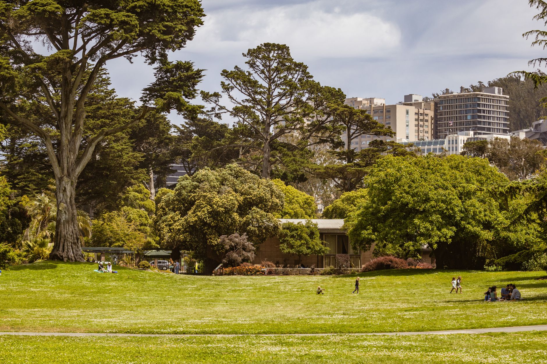
The sector is large, and counts vary by source. According to the Manufactured Housing Institute, there are more than 43,000 manufactured home communities in the US, representing almost 4.3 million homesites, and an older MHI fact sheet gave almost 40,000 land-lease communities. According to a Planning Association report, approximately 45,000 communities exist today, while a 2016 Fannie Mae commentary said there may be as many as 50,000. Many sites are large, with long drainage runs and roofs that are hard to see from the ground, so the walk itself is the slow part.
We want to be clear about the evidence. We did not find a study of drone use at manufactured housing communities specifically, so the time figures later on this page come from general roof and property inspection sources, and some are vendor claims. Treat them as a starting point, and measure your own site before you plan around them.
What does checking a community look like today?
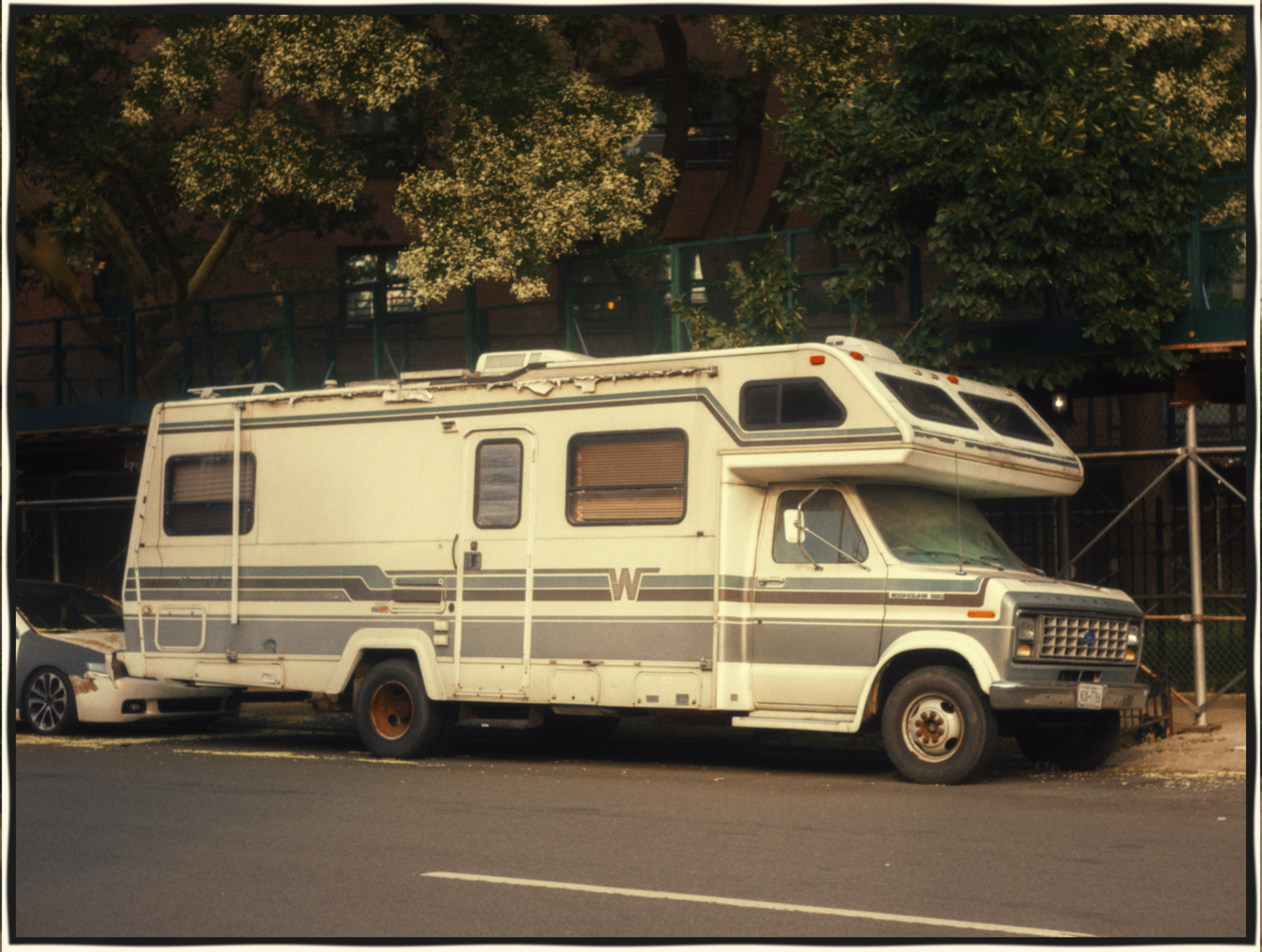
A manufactured housing community is a large, low-rise site with a lot of ground to cover. A manager or maintenance lead typically walks the perimeter, looks at drainage swales and retention areas after rain, checks roofs that are hard to see from the ground, and confirms lot lines and fence lines. On a large site, each of these walks can take hours, and most of them repeat on a schedule.
The people doing those walks are stretched. According to the Foundation for Community Association Research, 62% of 94 management companies responding to its October 2025 benchmarking survey named talent hiring and retention for managers as a top external pressure. That survey covers homeowner association style management rather than manufactured housing communities, but the staffing strain it describes will sound familiar to a lean site team.
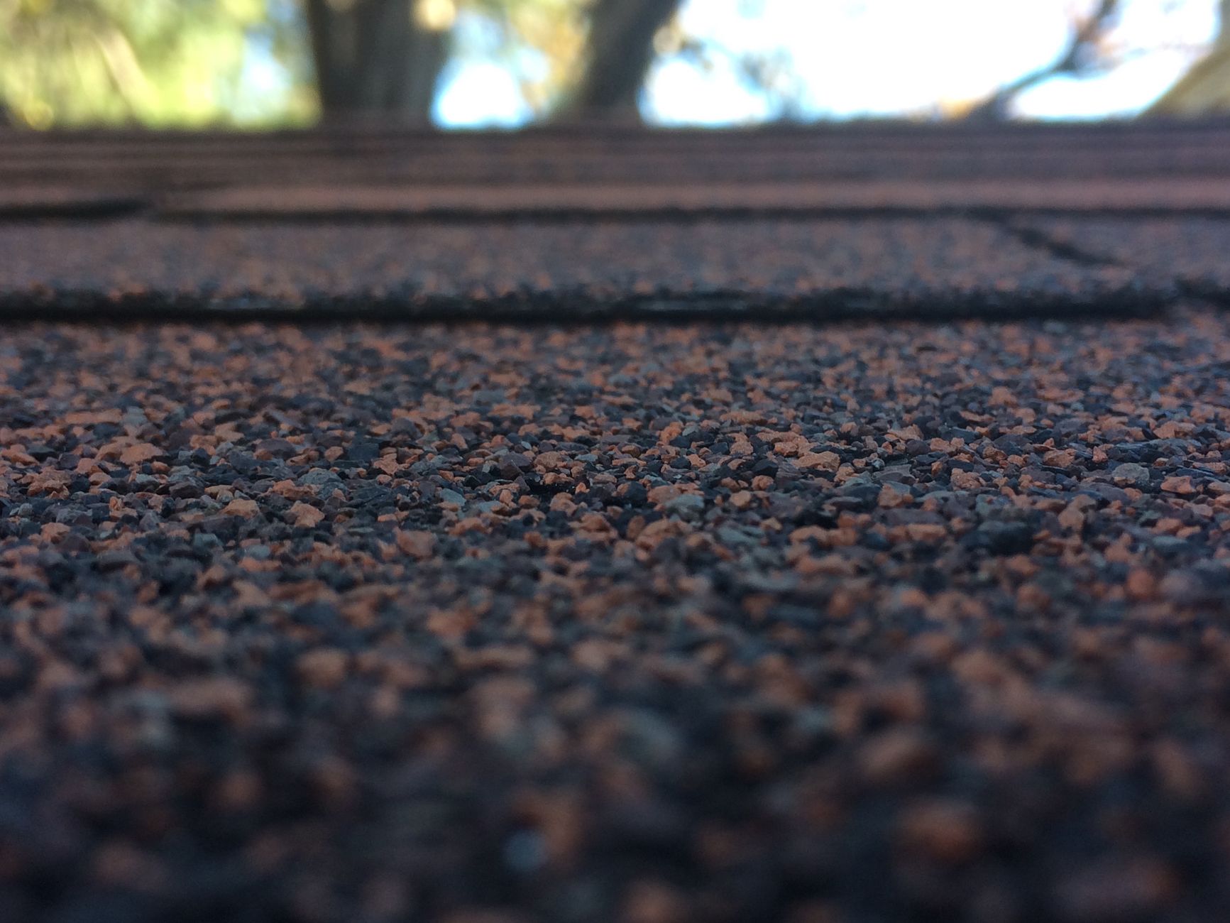
When walks slip, problems wait. A roof that should be checked after a storm waits for the next scheduled walk, and a drainage problem becomes visible only when a resident calls. Dated photos taken from the same angles each time also answer later questions about what condition something was in, which a verbal walk report rarely does.

What are the main benefits for a community?
The clearest benefit is coverage. A drone can survey the whole community on a planned route, so roofs, drainage and common areas are photographed in one session rather than piece by piece across a week. Managers get images they can review without climbing or walking the grounds.
The second benefit is the record. Repeat flights on the same route let the team compare this month with last quarter, which makes slow drainage problems, sagging gutters and shifted lot markers easier to spot. A dated file is also useful when an owner, lender or insurer asks what condition a roof or drain was in on a given day.
The third benefit is safety. Roofs and wet embankments are places where people slip or fall, and a drone keeps a person off a steep edge just to look. Someone still has to make the repair, but the look no longer requires a climb.
How does a drone work at a community day to day?
A trained staff member, usually the maintenance lead or site manager, plans the route in advance and flies the drone on a fixed schedule. The route follows the same path each time so photos line up across flights. Flights are planned around wind, rain and resident activity, and the staff member stays on site to watch for anything the drone cannot see.
After each flight, the photos go into the community file with the date, route and area noted. The team reviews them at a desk, flags anything that needs attention and sends a person only to the spots where the photos show a real question. That keeps walks targeted rather than routine.
Over several cycles the file becomes a baseline. When a drainage channel holds water after a storm, the team compares it with the last clear photo. If standing water shows up in the same spot across several flights, that is a repair request, not a guess.
Which areas does a drone cover at a community?
Most of the work falls into a handful of areas, and each one benefits from a repeatable view from above. The zones below show where the drone typically works and what each flight records.
Roofs and drainage get the most attention because they are the hardest to check from the ground and the most sensitive to weather. Lot lines and fence lines come next, since their condition matters when boundaries are questioned. Common areas, pools and entry roads round out the list, because residents see them every day and a dated photo settles questions about wear quickly.
How does a drone work alongside the existing staff?
A drone does not replace the people who run the community. It changes what they spend walking time on. The manager or maintenance lead still makes the decisions, directs repairs and talks with residents, while the drone handles the repeated look across the whole site.
This is a drone plus a small team model, never a zero staff model. Someone has to fly the drone, review the photos and turn findings into work orders. The team stays in place, and the hours freed from routine walks go to the repairs the photos point to.
We do not have a verified hours-per-walk figure for manufactured housing communities, so we measure your own walk times during the site assessment and show you what would change. Numbers from your own grounds are more useful than an estimate from someone else's site.
What drives the savings in time and labor?
Savings come from two sources: fewer hours walking the site and fewer repeat walks that find nothing. One figure comes from a drone surveying company's blog, which states up to 90% time savings per survey, according to that company. That is a vendor claim, not an independent test, and it covers property surveying in general rather than manufactured housing communities.
A research thesis from Arizona State University compared manual and drone roof inspections across several measures, including time and safety. We could not confirm its numerical results in the material we reviewed, so treat it as a reference for the method rather than a source of planning numbers.
The savings are likeliest in the walks that repeat most often: drainage checks after rain, roof checks after storms and lot-line checks when a question comes up. Every hour removed from those repeats is an hour the team can put toward repairs. Drones for manufactured housing communities save the most time where the same walk happens again and again, so that is where to measure first.
What can a drone not do?
A drone is a look, not a repair. It cannot clear a clogged drain, reset a lot marker, replace a shingle or fix a fence. Those jobs still need people with the right tools, and the photos only tell the team where to send them.
Weather is a real limit. Wind, rain and low light can ground the drone or make photos unhelpful, so routes have to be planned around conditions. Flights must also follow the flight rules for the airspace over the site, so check the local requirements before the first flight.
The drone cannot see inside a home or beneath a roof covering, and it does not replace a licensed inspector for questions about structure or electrical work. Residents deserve advance notice before flights, along with a clear written policy on what is photographed and how long the photos are kept.
How do we get started?
Start with a free site assessment. We walk the property with you, note the roofs, drainage areas, lot lines and common spaces that matter most, and time the checks you do now. From there we recommend a route, a flight schedule and the staff time it needs.
Our lease financing programs cover the drone, and the fixed lease payment comes in the quote after the site assessment. That lets you compare the payment with your current walk hours before you decide. Deployment, staff training and nationwide service are part of the plan, so the team is not left alone with a new tool.
Many operators start with one site and a single route, then expand after a season of records. A pilot of that kind lets the team see walk hours and the photo file on its own ground before committing to more. Once the route is set, we train the staff member who will fly the drone and review the photos.
Frequently asked questions
Want a drone at your manufactured housing community?
Tell us about your site. We will recommend the robot, quote the lease, and keep it serviced.
Sources
- Manufactured Housing Institute community research
- Planning Association report on manufactured housing communities
- Fannie Mae multifamily market commentary (2016)
- Foundation for Community Association Research management benchmarking survey 2025
- Drone surveying company blog on manual versus drone surveying
- Arizona State University thesis on manual and UAV roof inspections (Bodily)