
The question, in the buyer's words
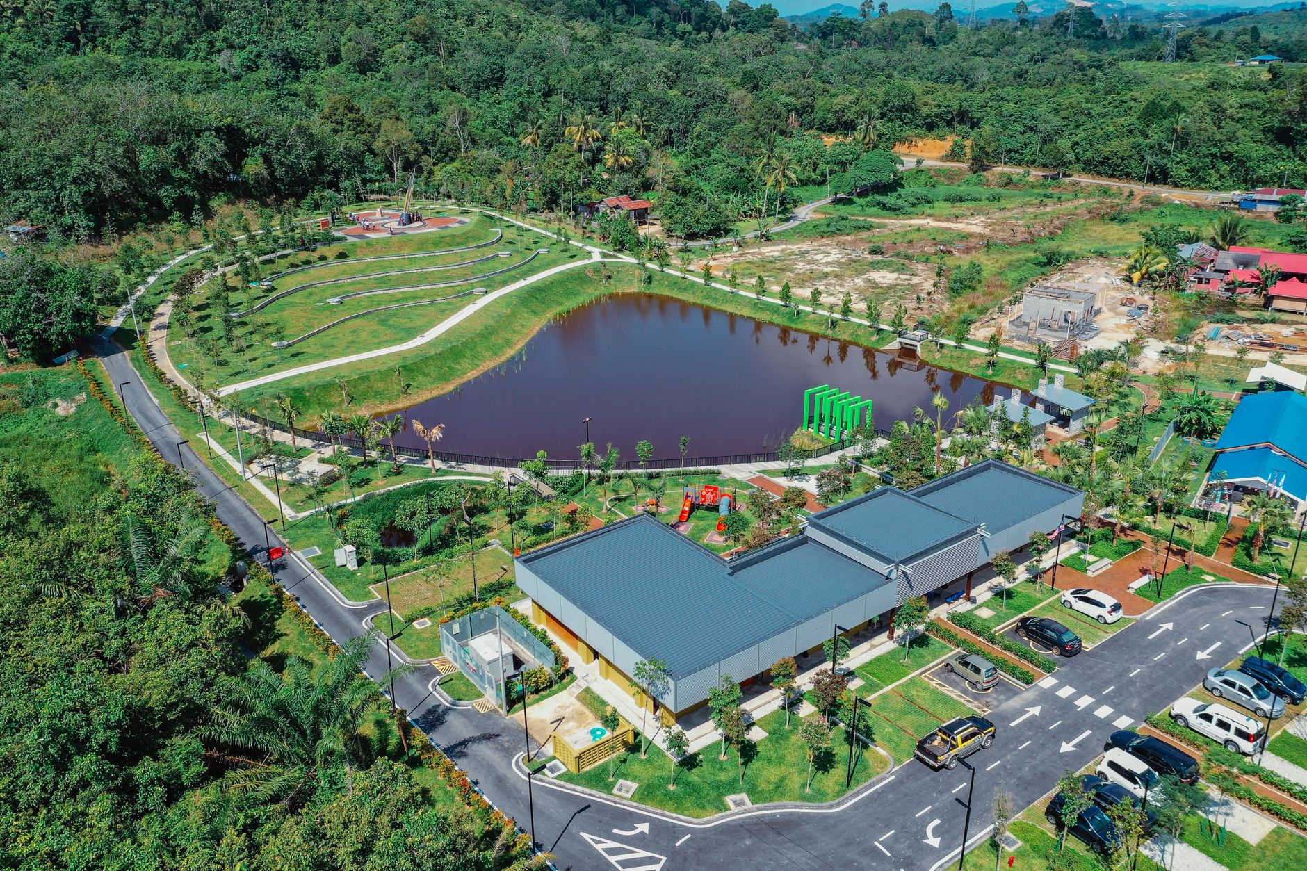
I manage 80 stormwater detention ponds and outfalls for a county public works crew of six, and after heavy rain we walk each pond to find blocked outlets and eroded banks; could drones fly them within a day of a storm?
Key takeaways
- Drones fit best as post-storm triage: they can show which of the 80 county ponds need a crew visit first.
- Flights beyond visual line of sight need an FAA waiver today, and the proposed BVLOS rule was still under review in our research.
- Drones see bank erosion and debris well from above, but not blocked pipes or undercut outfall toes.
- The strongest time figure we found, 38.46 percent, comes from construction-site inspections, not from pond or outfall walks.
- Start with one watershed, run it for two or three storms, and compare drone flags with what the crew finds on foot.
Can drones check county stormwater ponds and outfalls after storms?
A county public works director with 80 stormwater ponds and outfalls and a six-person crew is really asking what a drone can prove, not just whether it can fly. Over a detention pond after a storm, a drone can show whether the water has drawn down, whether banks have slumped, whether debris sits against the outlet, and whether the ground below an outfall has scoured. The value is in sorting: the crew then walks straight to the sites that need hands on them, instead of walking all 80.
Our research did not find a county that uses drones this way for blocked outlets and eroded banks on detention ponds, so there is no local precedent to copy. The closest evidence comes from construction-site erosion control inspections and from a 2026 pilot on erosion control devices that included stormwater basins. Both support drones for condition assessment and triage rather than as a full replacement for the walk.
So the honest answer for an 80-site county is partly. Drones can make the post-storm walk shorter and better aimed. They cannot clear every site in a day unless the flight rules, the weather, and the number of trained pilots all line up, and they cannot confirm every problem without a person on the ground.
Are drone flights beyond sight legal for a county crew?
Under FAA rules as they stand, a flight that the pilot can keep in direct visual line of sight is the normal case. A flight beyond visual line of sight (BVLOS) needs an individual waiver, filed through the FAA DroneZone portal with a safety case, according to the FAA's BVLOS page. A county spread across several watersheds may find that some routes, or the trip between sites, push the pilot beyond sight, so route planning matters as much as the aircraft.
The FAA and TSA published a proposed BVLOS rule in the Federal Register on August 7, 2025, with comments due October 6, 2025, according to a Small Business Administration summary. A 2026 trade report says the final rule, referred to as Part 108, went to the White House regulatory review office on July 10, 2026, and was still under review as of September 8, 2026. An executive order had set a February 1, 2026 deadline for the rule, and an FAA official said the agency was hoping to publish before the end of 2026.
Our research did not confirm that the final rule has been published. Check the Federal Register before planning a program around it, and until a final rule is in place, budget crew time for waiver work on any route that leaves the pilot's sight. Ask any drone provider or pilot to state in writing which of your planned routes are covered and under what authority.
What can a drone see at a detention pond after a storm?
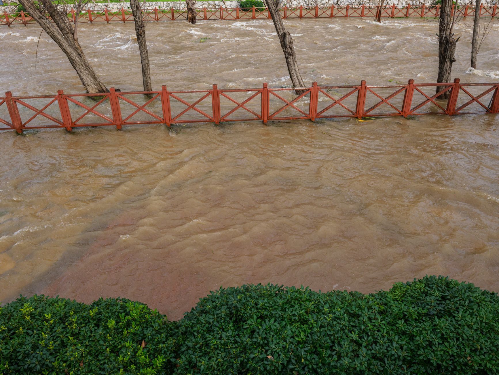
Ground inspections still give the most detail. Sioux City's dry detention pond inspection form flags standing water more than five days after a storm, which tells a crew which ponds drain slowly and deserve a closer look. Wichita and Sedgwick County guidance calls for post-storm checks of bank stability, erosion, and clogging or damage to outlet structures and pilot channels, especially after several events or an extreme storm.
From the air, a drone sees surface conditions well. Those include bank slumps and bare soil at the waterline, sediment fans and channel scour near outfalls, vegetation pushed flat by flow, and debris piled on a trash rack or the outlet. An Iowa DOT-related pilot in May 2026 on erosion control devices, including stormwater basins, found that high-resolution imagery 'can support faster and safer condition assessments', though it reported no percentage.
What a drone misses is what sits inside a pipe or under the water. A blocked culvert, a crushed outlet pipe, or a toe under the water line can look normal from above. El Paso County's drainage manual notes that outfalls sometimes need a toe-wall so erosion does not undercut them, and undercutting is exactly what a top-down image can hide. A drone fitted with an echo sounder can measure sediment depth: a City of Hamilton, Ontario pilot compared a drone-mounted echo sounder with manual boat surveys for stormwater pond sediment and reported minimal deviation in calculated volumes, without a time comparison.
How much faster is a drone than a six-person walk?
Our research did not find a time study for post-storm pond or outfall walks, so there is no verified hours figure for your crew. The most specific figure is from a Wake County, North Carolina study of erosion and sediment control inspections at construction sites. According to that study, drone inspections saved an average of 38.46 percent of the time of traditional inspections, counting before and after flight checks, flight time and report preparation. Construction sites are not detention ponds, so use that number as a direction to test, not a forecast.
The Hamilton pilot and the Iowa pilot describe results in qualitative terms, not as a time saving. Staffing turnover for county crews, hours per post-storm walk, and injury rates for pond inspection were not in our research either. That leaves your own records as the best baseline.
Build that baseline before you commit to anything. Log the hours your six people spend on a full post-storm walk of the 80 sites for two or three storms, including travel and the report. Then time a drone run over the same sites, using the same counting rules as the Wake County study, and compare the totals.
- Speed across 80 sites
Drone
Can cover many sites in one flight day when weather and pilot count allow. The 38.46 percent figure comes from construction sites, not ponds.
Staff
Covers the sites at walking pace, in turns, with time spent travelling between ponds.
- Flight rules
Drone
Beyond-sight routes need a waiver under today's rules, and the proposed BVLOS rule was still under review in our research.
Staff
Walking the bank needs no airspace approval.
- Surface damage
Drone
Good at bank slumps, sediment spread, and debris on a trash rack seen from above.
Staff
Good at judging soil, reading a bank by feel, and spotting small cracks up close.
- Inside outlets and underwater
Drone
Limited. A clog inside a pipe or a toe under water needs an echo sounder, a sensor, or a crew on foot.
Staff
Can look into a riser, reach a grate, and check a toe when conditions are safe.
- After a storm
Drone
Grounded in high wind or heavy rain, so flights wait for safe conditions.
Staff
Works in more conditions, though safety limits apply and wet ground slows the walk.
- Records
Drone
Dated, location-tagged imagery that can be compared storm to storm.
Staff
Signed field forms, such as the Pennsylvania outfall form, which a permit may require.
What do county permits require for outfall inspections?
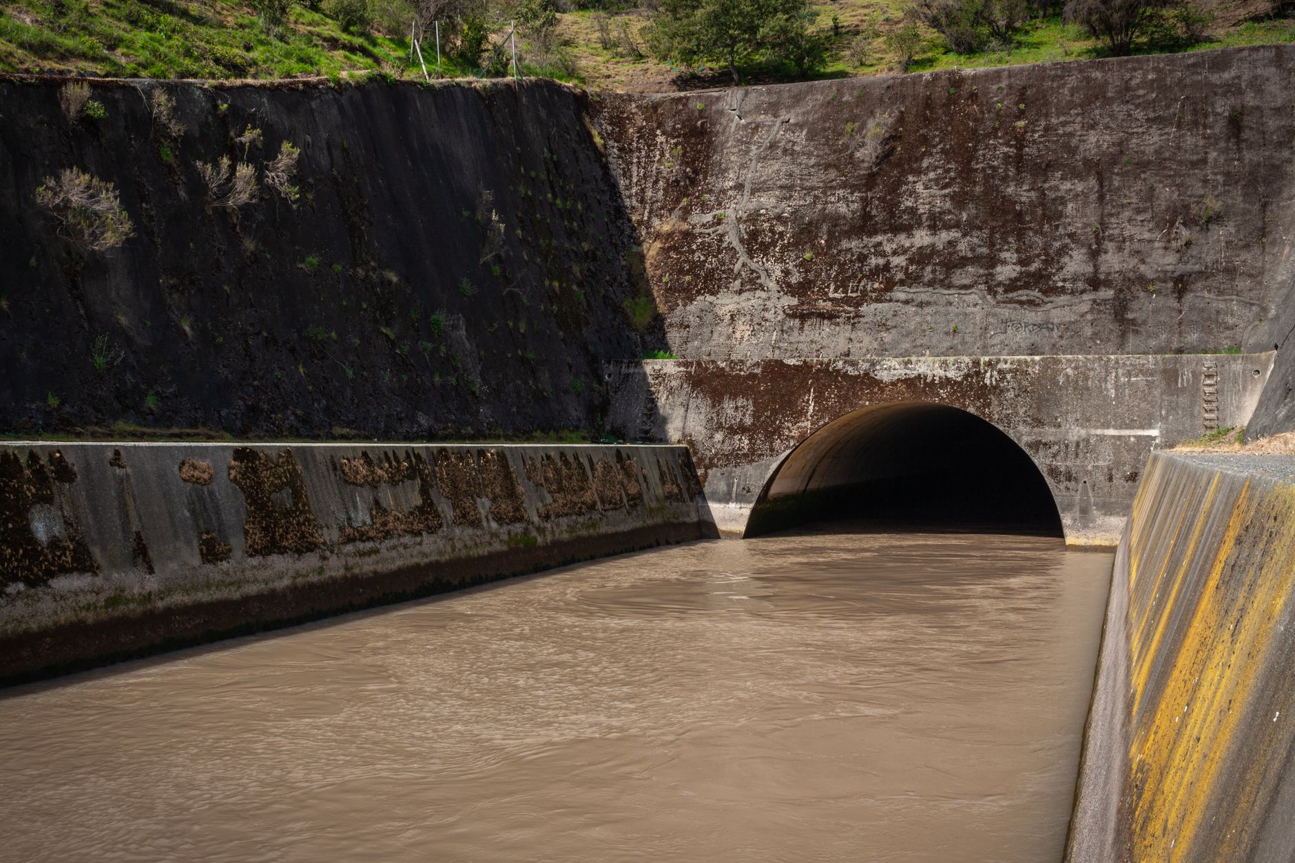
Outfall inspections are often a permit requirement, not just good practice. Massachusetts' draft 2024 MS4 general permit requires an inventory of every outfall and interconnection, recording location and condition. Pennsylvania requires an MS4 Outfall Field Screening Report form for each outfall inspection, signed by the inspector and kept by the permittee.
Many permits tie outfall inspections to illicit discharge detection, and where state guidance and the permit set different frequencies, the stricter one applies. Frequencies vary by permit, so read yours before setting a schedule. An EPA audit of Lake Elsinore, California identified dry-weather flow at an outfall in 2011 and again in June 2014, which shows why repeat outfall checks and records matter.
A drone can help find the outfall that needs attention and document its condition with dated imagery. It cannot sign the form, and it does not replace any sampling or testing a permit requires. Treat the drone image as supporting evidence and keep the inspector's record as the official document.
Does a drone program scale to a county pond count?
Pond counts show why triage matters. A Charleston-area project digitized all stormwater ponds in Berkeley, Charleston and Dorchester counties, totaling 5,962 ponds regardless of owner. An Indiana Finance Authority 2021 survey of 107 counties, cities and towns asked how many detention ponds each owns, though its totals were not shown in our results. We found no national survey of county-owned pond counts, so your 80 sites are a number worth checking against your state's records.
Scale changes the math. If most of the 80 ponds drain normally after a storm, a flight that confirms that saves a full walk. If the drone flags only a handful, the crew can focus on those sites. If it flags most of them, the drone is not reducing work, and the county will need more pilots, more flight time, or a different plan.
Ask whether your storm responses cluster in a few watersheds or spread across the whole county. Clustered storms favor drones because flights can run in one area at a time. Scattered storms make the trips between sites the largest cost, which is worth measuring in your baseline.
How should a six-person crew use drone results after a storm?
A workable routine starts with the drone flying the sites in order of storm exposure, with each flight logged by site and time. The imagery then sorts the ponds into three piles: no visible change, a change the crew should look at, and a problem that needs a crew the same day. The crew walks the second and third piles and checks outlets by hand at each flagged site.
Keep the flight log and the crew's findings side by side. Every flagged site should get a note on whether the drone was right, and every missed problem should get a note on why the image did not show it. Those notes tell you what the drone can and cannot see in your county, and they are the evidence a board or auditor will ask for.
Start small. Pick one watershed, run the routine for two or three storms, and compare the drone's flags with what the crew finds on foot. Record misses and false alarms, because they show whether the routine is trustworthy before the county relies on it.
Where does a drone fit alongside our company's options?
We are a commercial robot integrator for US businesses. We are not tied to one manufacturer, so we select the robot for the site, then lease it through financing, deploy and integrate it, train staff, and service it under our service plan with regional service engineers in every state we service. For a county crew, the first step is a free site assessment, and the lease quote follows that assessment.
A drone is not always the right tool, and an honest assessment will say so. If the flight rules, the weather, or the pond layout rule out drones, we will say that too, and the crew's walk remains the method. If drones fit, the assessment maps routes, checks which legs need a waiver, and sets a log format so the county can measure the time saved.
Answer the cost question with your own numbers: crew hours, waiver work, pilot time, and the time saved over several storms. Bring your pond list, your last three storm logs, and your permit's outfall requirements to the assessment, and the quote will reflect your county rather than a generic estimate.
Frequently asked questions
Upcoming public sector events
- Trade showAPC/PennDOT/PA Turnpike Fall SeminarNov 18 to 20, 2026Hershey Lodge, Hershey, PA
- Trade showMinnesota Buildings & Facilities Management Trade ShowNov 19, 2026Minneapolis Convention Center, Minneapolis, MN
- ConferenceCASBO CBO Symposium (Executive)Nov 19 to 20, 2026The Langham, Pasadena, CA
- ConferenceVirginia Association of Fairs ConventionJan 14 to 17, 2027Williamsburg Lodge, Autograph Collection, Williamsburg, VA
Want a drone at your stormwater detention ponds?
Tell us about your site. We will recommend the robot, quote the lease, and keep it serviced.
Sources
- FAA beyond visual line of sight (BVLOS) page
- Small Business Administration summary of FAA and TSA proposed BVLOS rule
- Trade report on FAA Part 108 BVLOS rule review
- Iowa DOT-related sUAS erosion control pilot report
- Sioux City dry detention pond inspection form
- Sedgwick County dry detention pond appendix
- Indiana Finance Authority 2021 stormwater survey
- EPA audit of Lake Elsinore MS4 program