Key takeaways
- Fly after the rain stops and before crews cross wet turf, using the same route every time.
- Check outlets, catch points and low spots against a dry-weather baseline map.
- Log each finding with an ID, date, before and after photos, and a verified fix.
- Treat thermal, multispectral and LiDAR claims as leads until your own flights confirm them.
When should a drone fly over drainage after a storm?
Fly once the rain has stopped, the wind has eased enough for steady flight, and before carts or mowers cross saturated turf. Drones cannot fly in rain, so the weather sets the window. A Hamptons course that uses a drone monitoring service reported that flights wait for the rain to end, and that wind at Shinnecock Hills makes flying difficult.
The aim is a same-day picture of outlets, catch points and low spots, compared against a dry-weather baseline. Wait a week and silt dries into crusts while turf greens up over the damage, so it becomes harder to tell which outlet moved material.
What should the drone check at each outlet and catch point?
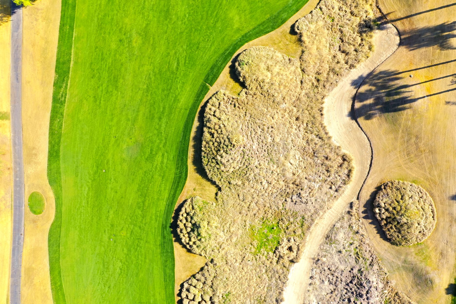
Start with a fixed, numbered map of every outlet, catch basin and low spot, with GPS coordinates for each. Fly the same route each time, then walk each point with the photos in hand. These signs matter most:
Visible photos catch the first four well. The soft line is easiest to spot when you compare it with the dry-weather baseline. Log anything you only suspect as a suspicion, not a confirmed fault.
- Fresh silt or sand fans spreading below an outlet, which show material moving out of the system
- Scour at an outlet apron or headwall, where water has cut into turf or soil
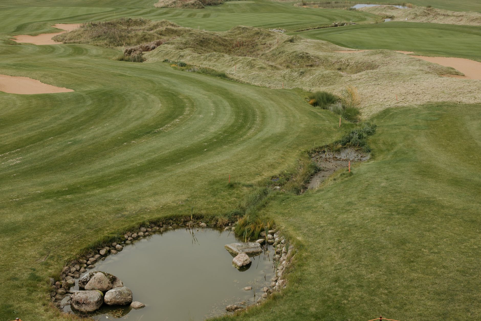
- Standing water beside a catch point after the surrounding turf has drained
- Clippings, leaves or debris packed into a grate or inlet
- A soft, darker or thinning line running from a low spot toward an outlet
Which imaging types help, and how far should you trust them?
Visible-light photos show scour, silt and debris. Thermal imagery can show where water is pooling, a claim made by the founder of drone firm Dronifi, so treat it as vendor-sourced. Multispectral surveys are used to flag turf stress, and AerialData says its surveys can flag stress before symptoms show and that drainage maps can be overlaid on imagery. That is the vendor's claim and has not been independently verified.
Drone LiDAR is the strongest tool for reading terrain. A vendor blog describes LiDAR terrain models that show water flow paths and ponding zones, and it recommends comparing scans taken before and after drainage work. Use that comparison as a method, and judge the results on your turf.
University research is a step firmer than vendor claims, but it covers irrigation rather than outlets. University of Arkansas extension reported in February 2023 that thermal and multispectral images show where water is not needed, which helps target irrigation. The same imagery feeds both jobs, but the drainage job needs its own checks.
How do you set up a routine that holds up season after season?
The USGA's turf-tips guidance treats drone flights as routine scouting for changing conditions, not a one-off rescue flight. Build your routine on that footing. Pick one route, one altitude band and one time of day, and keep them for the whole season.
Fly the course on a dry day first to record the baseline. Then fly the same route after each significant storm, before crews start the day's work on wet ground. Record the flight time and the rain you actually saw, so the next person can read the log without guessing.
A Massachusetts course describes using drone surveys to pinpoint where water stress or drainage is not working, and to guide improvement work. Tie each flight to the work orders it produces, so the next flight shows whether the fix held.
How should each finding be logged so crews can act?
A photo without a location, a time and a status is just a picture. Log every finding with the same fields, so a grounds director and a superintendent read the same record:
Keep one shared log rather than a folder of camera rolls. Review open items at the same time each week, and close an entry only after a follow-up flight or a walk confirms the fix.
- Outlet or catch point ID from the fixed map
- Date, flight time and the rainfall observed on site
- Finding type: silt, scour, debris, ponding, soft line or wet turf
- Before and after photos taken from the same position
- Extent in plain terms, such as one apron or a strip across a landing area
- Proposed fix, assigned crew, and who verified it on the ground
- Status: open, verified, scheduled or closed
How do you rank fixes before the next play day?
Rank by proximity to play and by what the water is doing. An outlet scouring a fairway landing near a tee ranks above a silted catch point in the rough. Confirm a suspected blockage with a probe or camera before crews commit equipment and hours.
Clear debris and sediment first. It is the cheapest work and prevents the next washout. Save regrading and outlet rebuilds for points that still lose material after clearing.
Teams that later add autonomous mowers face the same discipline: a fixed map, timed logs and a verified fix list. Service Robot Co. (servicerobotco.com) is an OEM-neutral integrator that leases commercial robots through financing, deploys them and services them under its RoboCare plan. The record-keeping habits carry over to any robot fleet.

Where does drone scouting fall short?
We found no independent study that tests drone imagery against drainage outlet or catch-point diagnosis on a golf course. Treat this routine as sound practice that still needs your own verification, not as proven science.
Drones see the surface. A buried collapse, a blocked pipe or a broken drain line needs a probe, a camera run or excavation to confirm. Older aerial photography, not drones, has revealed a fairway construction job that broke historic farm drain tiles and caused flooding, a reminder that surface views can point to buried faults.
Weather is the other limit. Rain grounds flights, and wind can make a site unflyable even after the rain stops.
Frequently asked questions
Want a robot working for you?
Tell us the job and the site. We will recommend the robot, quote the lease, and keep it serviced.
Sources
- Golfdom: drone monitoring at Hamptons courses
- USGA: Using a drone to scout turf stress
- Golf Course Industry: quadcopters for turf management
- New England Golf: Dennis Highlands drone turf study
- Golf Course Industry: Dronifi golf drones
- Golf Business News: how drone surveys help greenkeepers
- The Future 3D: golf course drainage survey blog
- University of Arkansas Extension: turfgrass drones aid water management