Key takeaways
- A drone photo is a dated record of what the lawn looked like after the last cut, which gives a renewal talk evidence instead of memory.
- Fly the same route, altitude and time of day on every visit so the photos compare fairly.
- Photos show appearance. Cause needs a ground check, because drones cannot yet tell drought, compaction and disease apart.
- Measure cut height on the ground at fixed spots and log it with the same day's mow record.
- Satellite views are too coarse for stripes and edges, so keep the drone set as your primary record.
What should an account manager bring to a renewal?
Before a renewal meeting, fly the client lawn, photograph the stripes, edges and nearby hard surfaces, and file those images beside the day's mow log. The result is a dated, repeatable record of how the turf looked after the last cut, so the quality talk starts from evidence rather than memory.
The photos do not carry the whole case alone. A drone covers a wide area quickly, but it cannot give a reliable cut height, explain why a stripe faded, or name the cause of a patch. Those answers come from a handheld check on the ground and from the crew's own notes, and the file is strongest when all three sit together.
What follows covers what to capture on each visit, how to keep flights comparable, how to file the material with the mow log, and how to use the record when a client wants to know the lawn still looks the way it did.
What should each drone visit capture?
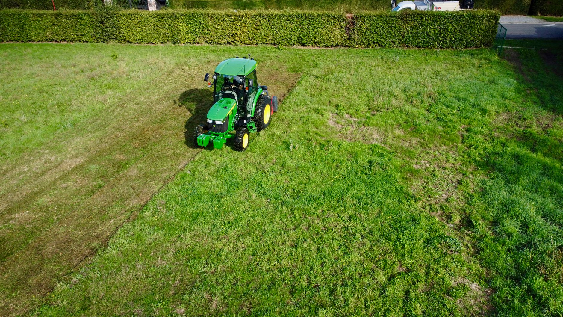
Start with a pass high enough to show stripe direction and contrast across the whole run of the lawn, then fly lower over the edges and transitions where the stripes meet walks, drives and beds. Shoot the same frames each visit so the renewal file holds matching views season after season.
Edges need their own review. Look at the line where turf meets a walk or curb, and at sprinkler heads that show above the cut. Cut height is different. A photo can suggest that a lawn looks scalped or long, but it cannot settle the number, so record a ground measurement at fixed spots with a spot ID, and keep those readings with the images.
Why do drone photos still need ground checks?
The USGA says scouting an entire golf course takes time, and even strong turf managers can miss localized stress. Its 2019 turf tip says drone imagery can significantly improve scouting efficiency and effectiveness, and that drones can be programmed to fly the same route daily, capturing aerial and thermal imagery.
The same tip insists on ground truthing, with flagged areas checked using a handheld soil moisture meter. It also says drones currently cannot tell apart drought, compaction and disease stress, and that the detail and range of drone information is still limited. A Kansas State turfgrass scientist quoted in the tip warned that interpreting the data is in its infancy and that inadequate, poorly designed equipment is being marketed. Write captions that describe what the image shows, and leave the diagnosis to the ground check.
How do you keep flights comparable from visit to visit?
Comparison is the whole value of the file. Set the route, altitude and time of day once, write them into the log, and repeat them. NC State research on UAV turf monitoring lists time of day, light conditions and drone height among the factors that change how imagery is read, so each of those values should be recorded rather than left to drift.
A cloudy morning and a bright afternoon can make the same stripe look different. If two photos differ for reasons unrelated to mowing, a client will question the whole set, and a reviewer who spots one mismatch will doubt the rest. Note the sky on every flight, even when it looks unremarkable.
What goes into the file beside the mow log?
Store the photos under the site ID rather than in a phone camera roll, and keep them next to the mow log for the same date so a reader sees the cut and the image together. Each entry needs the fields listed below.
Keep the order identical every visit. A renewal reviewer should find the same fields in the same places across several seasons, which is what makes a trend readable at a glance.
- Site ID, property name, and flight date and start time
- Flight altitude, route name, and sky or light notes
- Mow date, mower or crew, and the cut height set on that pass
- Ground height readings at each fixed spot, with the spot ID
- Edge notes for walks, drives, beds and sprinkler heads
- Photo filenames matched to the frame numbers used on the last visit
How does the record support a cut quality conversation?

Golfdom's trade press summary notes that comparing historical and current imagery can help validate management practices and monitor change over time. That suits a renewal well. Open the meeting with last visit's photos beside today's, then walk the client through what changed and what the crew did about it.
Lead with what the file shows, then state what it cannot. If an edge line has drifted, say so and show the date it began. If a patch needs a closer look, say the ground check is pending rather than guessing a cause. A manager who names the limits of the evidence tends to be believed on the rest of the story.
Why not rely on satellite views or a vendor report?
A Czech study from Mendel University compared drone and satellite multispectral data over golf course vegetation and found that the satellite imagery lacked the spatial detail needed for high resolution turfgrass management. Stripes and edges live at a fine scale, so a satellite frame is a poor record for them. At most it works as a broad backdrop.
Commercial drone turf services also exist. Fera's vendor page, checked for this article in November 2026, lists UAV turf assessment for golf courses and sports pitches, covering planning imagery and monitoring of turf condition, health and stress. Compare what each service delivers and in what format, and keep your own ground checks in the file either way. Pricing was not verified for this article.
Where does a robot mower fit into the record?
On a lawn already cut by a robot mower, the machine's run log becomes one more line in the day's file, with timestamps that line up with the photos. Service Robot Co. is an OEM neutral robot integrator for US businesses. We pick the right mower across manufacturers, then arrange a lease through financing on a three year lease, with one fixed lease quote set after a site assessment.
Our RoboCare service plan covers each unit with regional service engineers, which helps keep the run log from gapping during repairs. Your drone file and the mower's log then tell the same story about the same days.
Frequently asked questions
Want a robot working for you?
Tell us the job and the site. We will recommend the robot, quote the lease, and keep it serviced.