Key takeaways
- Facility mapping is the critical first step for any autonomous robot deployment, creating a digital blueprint for navigation.
- The core technology is SLAM (Simultaneous Localization and Mapping), which builds a map while tracking the robot's position on it.
- Engineers use sensors like LiDAR to capture millions of data points, creating a precise map of walls, obstacles, and operational zones.
- The mapping process involves a site walk, the physical scan, data processing and cleanup, and finally, validation.
- An accurate map is essential for reliable navigation, fleet efficiency, operational safety, and creating a scalable foundation for automation.
What is Facility Mapping for a Robot Fleet?
Deploying an autonomous mobile robot (AMR) fleet begins with a fundamental question: how will the robots understand your space? The answer lies in facility mapping. This is the process of creating a detailed, digital representation of your building that a robot uses to navigate. It is the essential first step that translates your physical environment into a language machines can understand, enabling them to move with purpose and precision.
Think of it as creating a sophisticated indoor blueprint. This map isn't just a floor plan. It contains the exact location of walls, support columns, permanent equipment, and other fixtures. More importantly, it defines the operational areas for the robots, such as pathways they are allowed to take, zones to avoid, charging station locations, and specific destinations for tasks like pickup and drop-off.
This digital map becomes the single source of truth for every robot in the fleet. Using this shared understanding, robots can perform tasks efficiently, avoid collisions with both structural features and each other, and adapt to the dynamic nature of a busy commercial environment. Without an accurate map, autonomous navigation is simply not possible.
What Key Technologies Power Robotic Mapping?
The technology that makes autonomous navigation possible is called SLAM, which stands for Simultaneous Localization and Mapping. SLAM is a complex process that solves a classic robotics challenge: how can a robot build a map of an unknown environment and, at the same time, keep track of its own position within that map?
It's a circular problem. To build an accurate map, the robot needs to know its precise location at all times. But to know its location, it needs an accurate map for reference. SLAM algorithms solve this by doing both tasks continuously and in real time.
To gather the necessary data, robots rely on advanced sensors. The most common and effective sensor for this task is LiDAR, or Light Detection and Ranging. A LiDAR sensor works by emitting thousands of laser pulses per second and measuring the time it takes for them to bounce back from surrounding objects. This process generates a massive collection of data points, called a point cloud, that details the geometry of the space with millimeter precision.
This sensor data from LiDAR, sometimes combined with information from other sensors like cameras or inertial measurement units (IMUs), is fed into the SLAM software. The software then stitches these millions of data points together to construct the final, detailed map that guides the robot fleet.

How Do Engineers Map a Commercial Facility?
Creating the digital backbone for a robot fleet is a systematic process performed by trained deployment engineers. While the technology is complex, the steps are straightforward and designed to minimize disruption to your operations. For many facilities, the on-site portion can be completed in just a few hours to a couple of days, depending on the square footage and complexity.
The process typically follows four key phases:
1. Site Assessment and Planning: The first step is a thorough walkthrough with your team. Engineers identify the key operational areas to be mapped. This includes main travel corridors, specific work zones, charging locations, and any no-go zones. Understanding the daily workflow and traffic patterns is crucial for creating a map that is not just accurate, but also efficient for the robots' intended tasks.
2. The Physical Scan: An engineer manually guides a robot or uses a handheld 3D LiDAR scanner throughout the designated areas. It's best to perform this scan during periods of low activity to ensure a clean capture of the permanent environment, without temporary obstacles like people or pallets skewing the data. As the device moves, its sensors capture millions of data points, building the raw foundation of the map.
3. Data Processing and Refinement: Once the scan is complete, the raw data is processed. This involves cleaning up the map to remove temporary objects or anomalies captured during the scan. Engineers then use specialized software to define routes, set speed limits, and label specific points of interest, like workstations or docking stations. This is where the static map becomes a smart, operational tool.
4. Validation and Go-Live: The final step is to test the map. A robot is deployed in autonomous mode to follow routes and perform test tasks. This validation ensures the digital map accurately reflects the real world and that the robot behaves as expected. Any necessary adjustments are made before the full fleet goes live.
Why is an Accurate Map So Important?
The quality of the initial facility map directly impacts the success of a robotics deployment. A precise and well-designed map is not a mere formality; it is the foundation for the fleet's performance, safety, and reliability.
An accurate map ensures several critical outcomes:
First, it enables reliable navigation. The map is the robot's primary reference for understanding where it is and how to get where it needs to go. Errors in the map can lead to navigation failures, causing the robot to get lost or stuck, which results in downtime and requires human intervention.
Second, it optimizes fleet efficiency. A properly designed map allows for intelligent path planning. Robots can calculate the shortest and most effective routes, avoiding unnecessary travel and congestion. This is especially important in large facilities or with multi-robot fleets, where coordinated movement is essential for productivity.
Third, it underpins operational safety. By clearly defining restricted areas, pedestrian walkways, and the precise location of obstacles, the map is a core safety feature. It helps prevent collisions and ensures robots operate predictably around human co-workers.
Finally, a good map is a scalable foundation. As your operations evolve, the map can be updated and expanded. This allows you to easily add more robots or assign them new tasks without having to start the mapping process from scratch. It creates a digital twin of your facility that can grow with your business.
How Does Service Robot Co. Ensure a Perfect Map?
At Service Robot Co., we recognize that successful automation is built on a flawless foundation. That is why our nationwide network of deployment engineers treats facility mapping as a crucial, detail-oriented phase of every project. We handle the entire process, from initial site assessment to go-live support, ensuring the digital map of your facility is perfectly optimized for your chosen robot fleet and operational goals.
Because we are OEM-neutral, our approach is tailored to you, not to a specific brand of robot. We select the right autonomous mobile robot for the job, whether it's an autonomous floor scrubber for a warehouse or a food runner robot for a restaurant, and then create the mapping and integration plan that fits its specific technology. This vendor-neutral stance means the map is built for your environment first and foremost.
Our turnkey robot deployment model means you have one partner and one number to call. We don't just create a map and leave. Our on-site engineers manage the entire integration, train your staff, and provide ongoing service and maintenance. Should your facility layout change or you decide to expand the fleet's operational area, our team is ready to update the map, ensuring your automation investment continues to deliver value with zero downtime.
What Are Common Mapping Challenges?

While the technology has advanced significantly, mapping a real-world commercial environment presents a few common challenges. One of the most frequent is dealing with dynamic spaces. Warehouses, hospitals, and retail stores are in constant flux, with people, carts, and pallets moving constantly. Engineers typically mitigate this by mapping during off-hours to capture a clean baseline of the static environment. The robots then use their onboard sensors to navigate around these dynamic, or temporary, obstacles in real time.
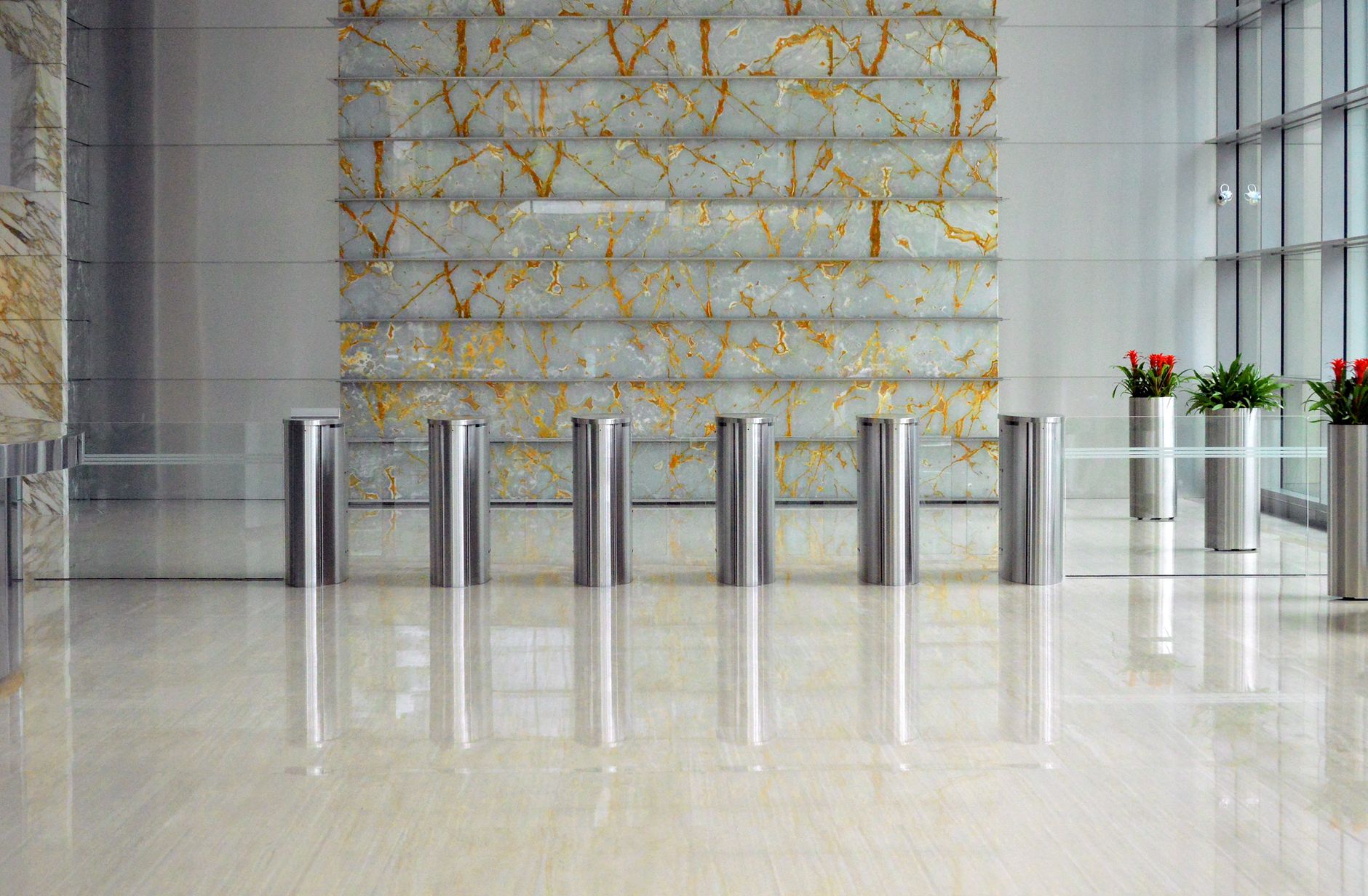
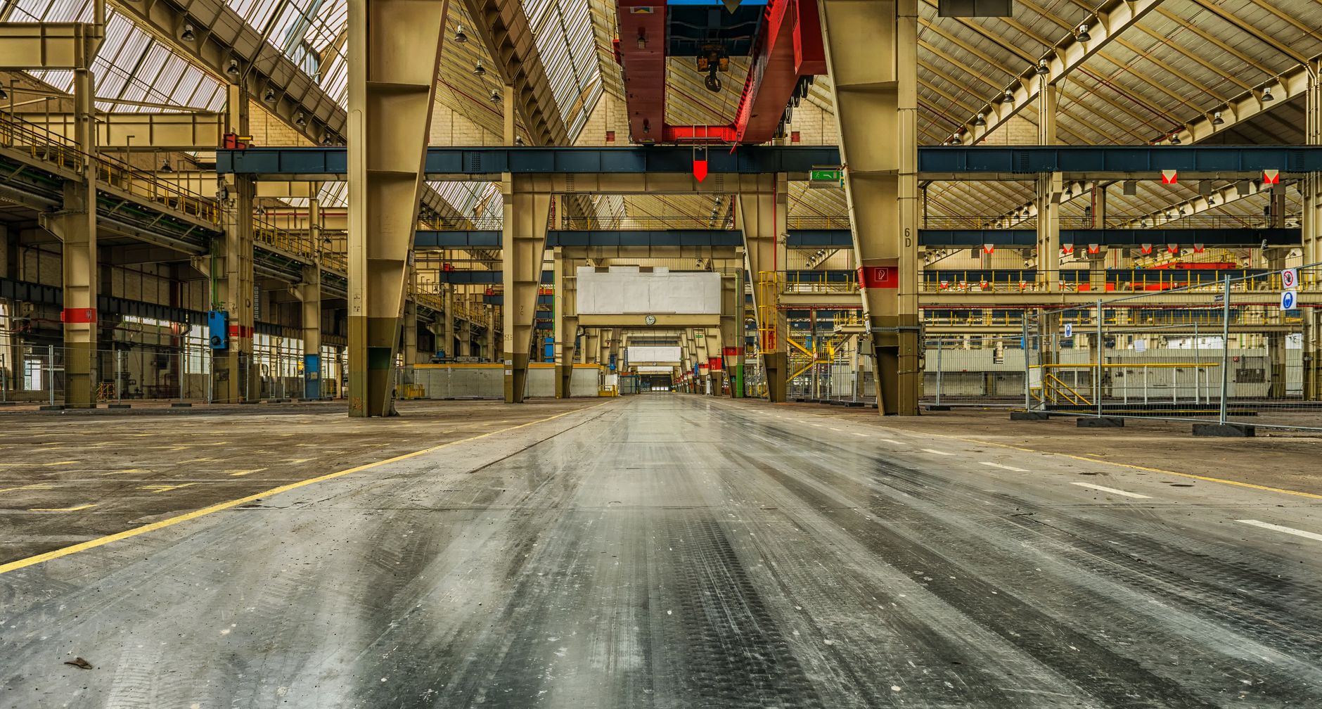
Large, open areas with few distinct features can also be difficult for some mapping systems. Without unique landmarks to reference, a robot can struggle to pinpoint its exact location. Similarly, highly reflective surfaces, like large glass windows or polished metal, can sometimes interfere with LiDAR sensors.
Navigating between multiple floors is another layer of complexity. This requires not only precise maps of each level but also integration with elevator control systems, allowing a delivery robot to call and ride an elevator autonomously. An experienced integration partner will identify these potential challenges during the initial site assessment and deploy the right technology and techniques to overcome them, ensuring a robust and reliable map.