Key takeaways
- There is no universal pond setback, so base the buffer on the bank you actually walked.
- Use an exclusion buffer for the hard limit and a slow zone beyond it for the edge that moves.
- Treat a virtual boundary as one layer, and add a physical border where the manufacturer recommends one.
- Compare drone passes flown on the same path to spot slumping before members or mowers do.
- Remap the bank after heavy storms before the next unattended pass.
How far should a robot mower stay back from a pond bank?
No single distance covers every pond. The manufacturer guidance we reviewed varies by brand and by how each mower sees its boundary, so the setback has to come from the bank you actually walked, not a factory default. The working rule is easy to state: keep the wheels and cutting deck off the break where the slope falls toward the water, then leave a margin beyond it.
Published figures give a sense of the range, from a 50 cm border to a full meter for some virtual perimeters. Treat those as starting points for a site survey, and confirm the value against the manual for your exact model before anything runs unattended.
What do mower makers say about water boundaries?
The Stiga A1500 manual says the virtual perimeter should be set at least 1 meter from a pond or pool. EEVE's special cases guidance suggests a border of at least 50 cm, or a visible physical border that the mower can see and will not cross. We checked these pages through search summaries this month rather than full page reads, so verify the wording on the source itself.
Navimow's academy advises creating an off limits island around any pond on a property, which treats the water as its own zone instead of a stretch of edge. Yard Force's manual warns that a mower entering a pond can reduce its lifetime, and recommends excluding ponds with the boundary wire or adding a small fence.
Two cautions stand out. eufy's Australian blog says a virtual boundary should not be the only protection beside water. Roborock describes a hazard boundary that keeps a safe distance from the lawn edge to help prevent falls, separate from the main boundary, which can run closer to the edge. Those are two separate jobs, and each needs its own setting.
How do you draw a slow zone and an exclusion buffer?
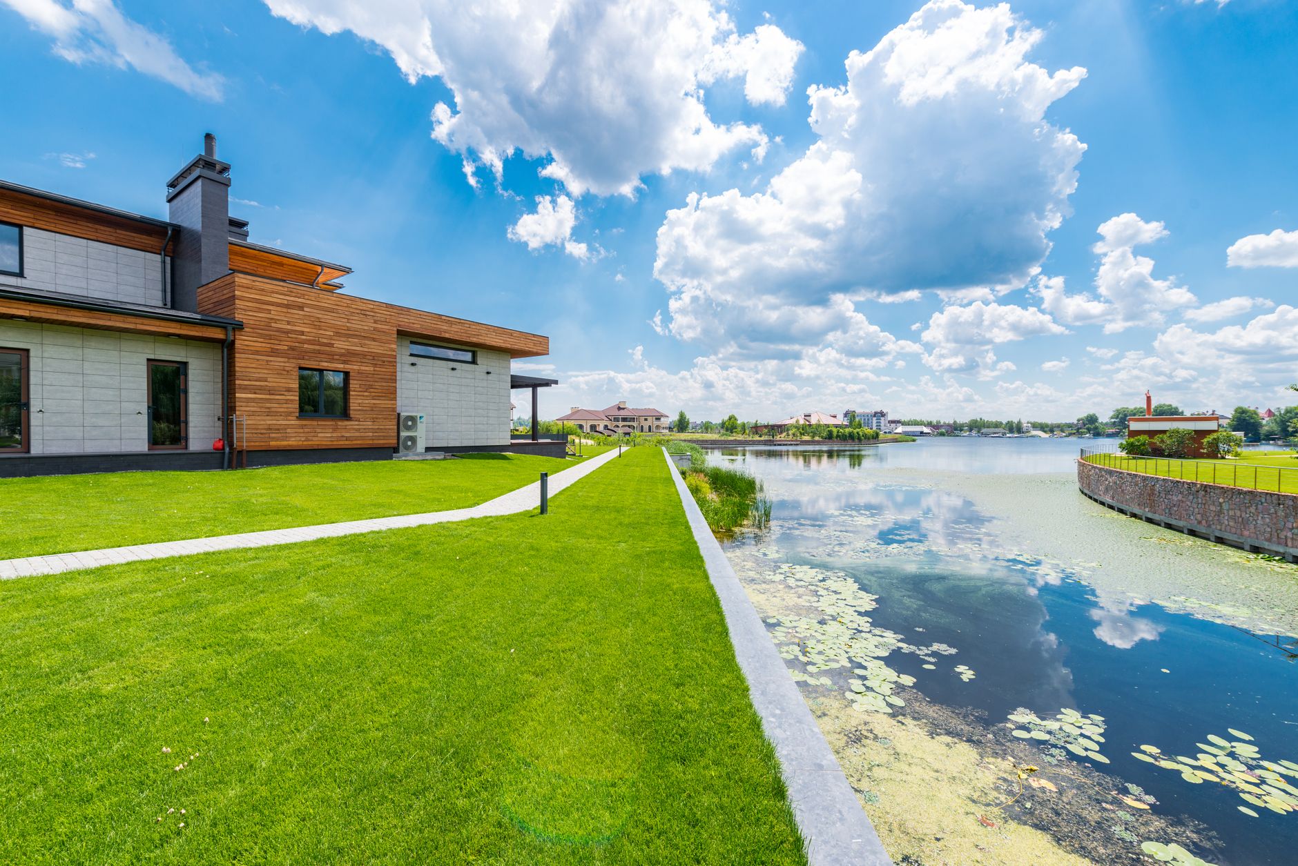
Think of the two bands as separate tools. The exclusion buffer is the hard limit, a strip the mower is never allowed to enter. The slow zone sits beyond it, where the mower runs at reduced speed or on fewer passes and the crew checks the edge more often. The slow band exists because the bank line moves, and a boundary drawn once will not stay true.
Set the exclusion line from the top of the bank as walked on foot, not from the waterline on a plan sheet. Where the bank is steep, undercut or soft, widen the buffer. Where turf runs flat onto a shallow shelf, the slow zone may carry most of the load. Record widths per shoreline section, since one number across a long bank will be wrong somewhere.
What belongs on a mapping checklist before the first run?
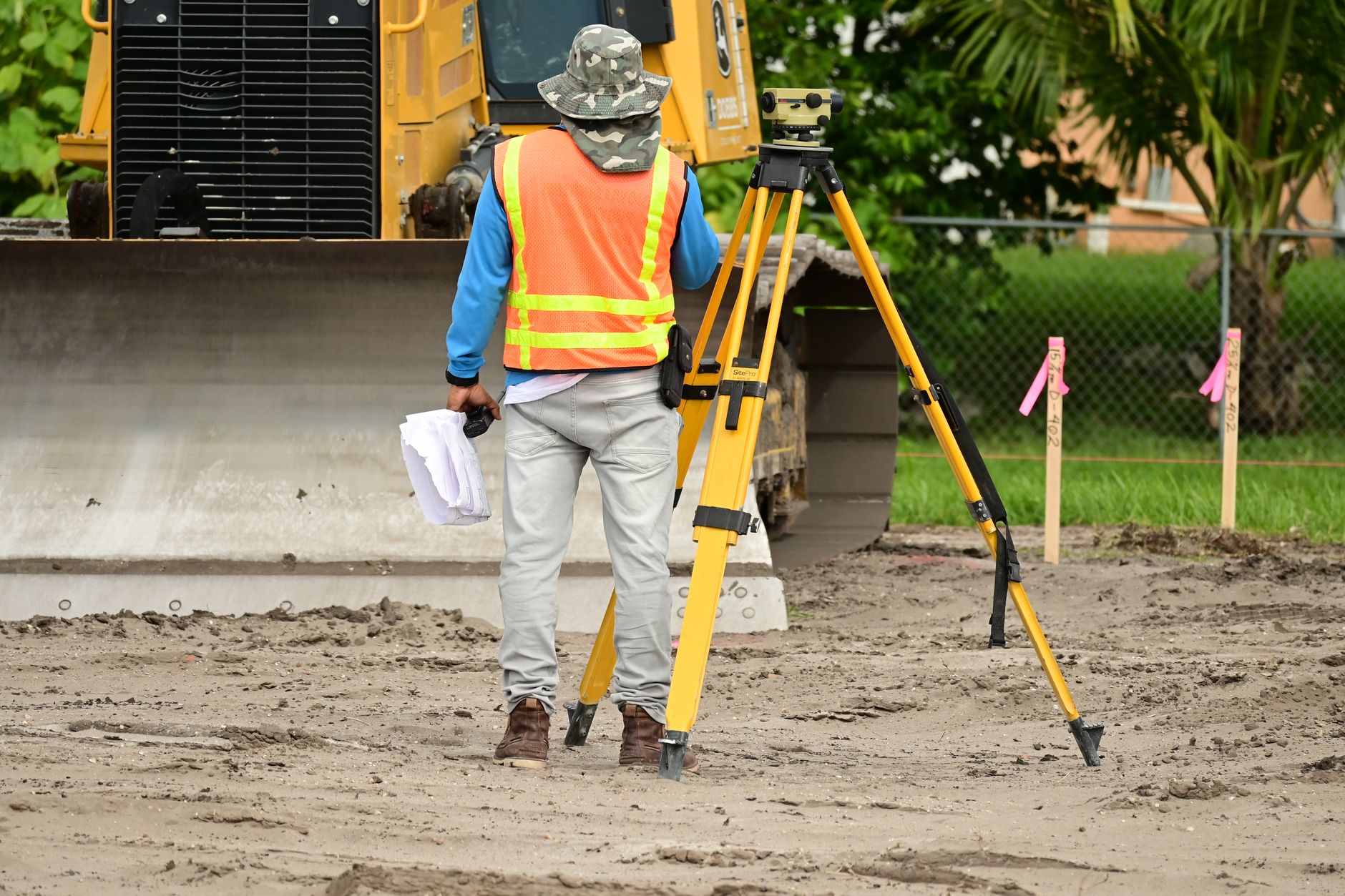
Mapping is where bank damage gets prevented or missed. This is the order we would work through on a pond edge.
- Walk the full bank with a crew member and mark the top of bank break at intervals, not only at corners.
- Mark fixed hazards: outfall pipes, inlet grates, riprap, docks and footbridges.
- Compare the mapped edge with the physical edge after the last mow, and record any slumping or rutting.
- Flag wet or soft ground along the bank and write a hold rule for it.
- Add a physical border or fence wherever the manufacturer says an exclusion alone is not enough.
- Run a supervised slow pass along the bank and log the closest approach to the buffer line.
- Save the map with a date and version number so the next check has a baseline to compare.
How should you recheck the bank after a storm?
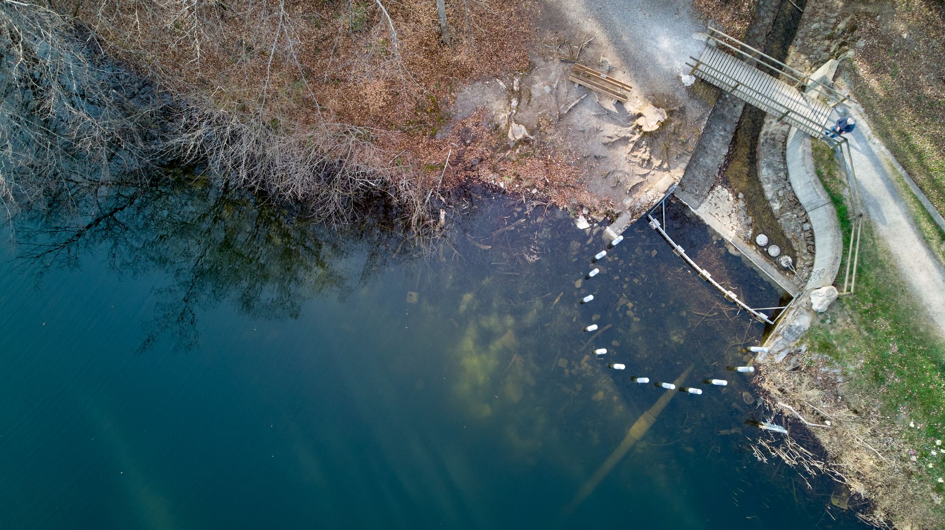
Storms reshape an edge faster than a mapping pass can keep up. A 2019 poster from the University of Wisconsin Milwaukee describes drones flown before and after a high magnitude storm along a Lake Michigan beach and bluff, and notes that structure from motion photogrammetry is a relatively inexpensive, quickly deployed way to survey shorelines. The lesson carries over to a pond: keep a baseline, then compare.
Loveland, Colorado's utilities use drone imagery and digital terrain models from 2024 and 2025 to monitor shoreline erosion on a reservoir and respond as needed, according to Public Power. A reservoir is far larger than a course pond, but the approach is the same: repeat flights, a fixed flight path, and a model you can compare from one date to the next.
We did not find a method built for ponds, including flight altitude or ground control points, so set those with your drone provider instead of copying a figure. After a heavy storm, hold mowing along the bank until someone walks the edge, then remap the affected section before the next unattended pass.
What does a weekly inspection with drone passes look like?
Build the week around one drone pass and one walk. Fly the same path each time with the camera aimed the same way, so the images line up and small changes stand out. Keep the flight clear of people and water users, and file every image against the map version it was checked against.
- Early in the week: a drone pass on the saved path, stored with the date.
- Midweek: a crew walk of the top of bank, checking the map on a tablet.
- Before weekend play or public use: an edge check at the closest approach points.
- After any heavy rain: a walk and a fresh drone pass over the affected section before the next mow.
How do you keep bank damage and member complaints low?
Members notice a mower most when it runs near the water, and they notice fastest when a strip is closed without explanation. Post clear signs at the bank, tell members which strips are closed and why, and keep the log accessible so a complaint can be answered with dates and photos instead of recollection.
Service Robot Co. is an OEM neutral integrator. We run the site assessment and mapping, choose the mower that fits the bank rather than one brand's catalog, and lease the unit through financing with one fixed lease payment quoted after the site assessment. Deployment, go live support and our RoboCare™ service plan, with on site dispatch and remote triage, then work from the same map, so the boundary set on day one is the one still in place after the storm.
Frequently asked questions
Want a robot working for you?
Tell us the job and the site. We will recommend the robot, quote the lease, and keep it serviced.
Sources
- Stiga A1500 manual (ManualsLib)
- EEVE special cases guidance
- Navimow academy: no-mow zones and off-limit areas
- Yard Force SA900 manual (ManualsLib)
- eufy Australia blog: install a robot lawn mower
- Roborock support: Hazard Boundary feature
- University of Wisconsin Milwaukee 2019 beach and bluff drone poster
- Public Power: Loveland, Colorado utilities drone inspection program