Key takeaways
- Trees and buildings block sky and add reflections, and both weaken RTK position fixes.
- Walk the lot at more than one time of day and map the blocked sky before proposing a mower.
- A mower may slow, pause or drift when the fix drops, so ask each vendor about fallback behavior.
- Network RTK and sensor fusion are claims to test on your own ground, not guarantees.
- Keep the base fixed after mapping, and keep the crew on the worst canopy pockets.
Why does tree cover weaken RTK guidance on a lot?
RTK guidance depends on satellite signals reaching the mower's receiver cleanly, and those signals come from overhead. Tree canopies, building walls and tall structures cut into that open sky. On a commercial lot, the weak spots cluster in predictable places: under dense canopy, along building faces, and in narrow side yards where the sky is squeezed from two directions.
Before a robotic mower goes into a proposal, someone should walk the lot and map where the sky is blocked. The field check later in this article is built for that walk, and it also flags the areas where a crew should keep mowing by hand for now.
What exactly degrades the signal?
Foliage and branches weaken satellite reception, and moisture held in leaves absorbs radio waves, so signal strength drops under dense cover, according to an engineering article on RTK from lefixea. Reflection is the second problem. Signals that bounce off trunks, walls, sheds and fences arrive late, which creates multipath timing errors. Modern receivers reduce that effect, but they do not remove it in wooded areas.
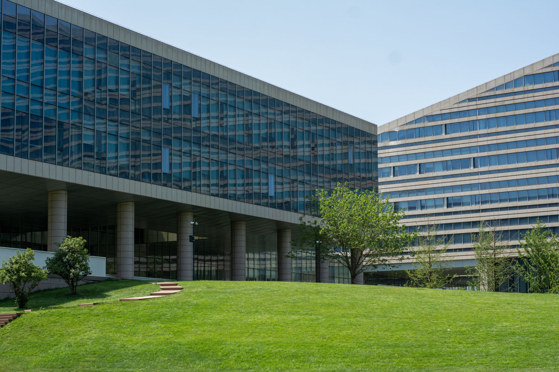
Buildings do similar damage in towns. A 2023 paper in NAVIGATION reports that GNSS-RTK accuracy is significantly degraded in urban canyons, because of non-line-of-sight reception and multipath from buildings, and that blockage can limit the number of satellites visible at once.
Adding satellite systems such as GLONASS helps a receiver find enough satellites under trees, according to a 2026 accuracy guide from RTKData, a vendor-adjacent source. It does not remove multipath, so it is one improvement among several rather than a fix for a reflective corner.

How is canopy loss measured?
Researchers have started measuring the effect instead of guessing at it. A NASA paper presented at AIAA SciTech 2022 ray-cast positions flown by an unmanned aircraft through tree canopy, matched signal strength to how deeply foliage obstructed the sky, and worked from 55 recordings. The authors suggested that site-calibrated profiles could forecast GNSS fidelity. This was a research study, not a product test.
That idea transfers to a grounds crew. A forecast tied to a specific lot would be worth far more than a generic claim. Until one exists, the walk you do yourself is the nearest substitute, and it should focus on the spots that matter rather than the average lawn.
What does the mower do when the fix drops?
An RTK-only mower is most exposed under canopy and near reflections. Depending on its fail-safe logic, it may slow, pause or drift when the fix degrades, according to the RTKData guide. Ask any vendor what the mower does in that moment before a trial starts, not after a complaint from a client.
Some designs add sensors to ride through short gaps. According to Unmanned Systems Technology, combining RTK with vision, visual SLAM or an inertial measurement unit gives better continuity during brief signal loss. Continuity is not the same as accuracy, so the trial still has to show that the boundary holds.
Vendors make their own claims too. Segway Navimow says its network RTK, which needs no base station on the lawn, works under dense canopy. As of November 2026, that is a manufacturer claim, and the source is not independent testing, so it belongs on the list of questions for the vendor.
Which field checks come first?
Run these checks before any proposal leaves the office. Each takes a few minutes at the property, and the notes you keep become the baseline for the trial.
- Walk the boundary at more than one time of day and mark every stretch where trees or buildings block much of the sky, especially narrow side yards.
- Stand at the proposed base spot and look up. Note overhanging branches and any metal roofing, solar panels, glass or walls in view, since they add reflections.
- Mark each route segment that runs within a few meters of a building face, a fence line or a cluster of trunks.
- Test satellite signal at each candidate base and charging spot before anything is fixed in place.
- Record leaf-on and leaf-off conditions, because a route that works in winter can change once the canopy fills in.
What should a trial prove before you commit?
Judge trial results on the spots you flagged, not on the average lawn. Log where the mower pauses, slows or drifts, and compare those events with your sky map. Clusters under the same canopy pockets confirm the walk was right. Pauses on open turf point to base position or fallback settings, and those need a second look before any longer commitment.
Keep the log simple: time, location, what the mower did and whether the crew had to step in. A count of events you can review beats a general impression, and it gives the client something concrete to see.
Where should crews keep mowing by hand?
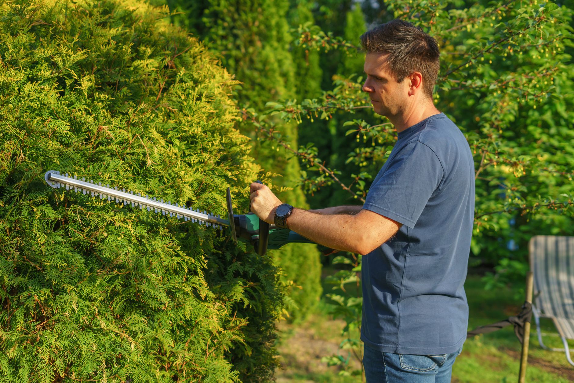
Dense canopy with limited sky near a building is the hardest combination on a lot. Keep the crew on those pockets until a trial shows the mower holds its boundary there across seasons. The same goes for corners where a fallback pause could leave the machine in a traffic lane, and for pinch points between buildings.
Trunk bases, edging and debris cleanup stay with the crew wherever a sky check flags uncertainty. The robot can cover the open turf between those zones, while the crew keeps the detail work that a satellite map cannot vouch for.
How does a site assessment fit in?
Service Robot Co. is an OEM-neutral integrator for US businesses. We pick the right robot across manufacturers, lease it through financing on a 3-year lease, deploy and train on site, and service every unit under RoboCare, our service plan, backed by regional service engineers in every state we service. One vendor for the whole lifecycle, not six.
The open-sky walk belongs at the site assessment, before any number is quoted. Our lease terms include one fixed lease payment quoted after that assessment, so the canopy findings are on the table before a figure reaches the client.
Frequently asked questions
Want a robot working for you?
Tell us the job and the site. We will recommend the robot, quote the lease, and keep it serviced.
Sources
- Lefixea, RTK engineering article
- NAVIGATION journal, 2023 (ION)
- NASA, GPS ray casting paper, AIAA SciTech 2022
- RTKData, wire-free robot mower RTK accuracy guide 2026
- Unmanned Systems Technology, RTK positioning accuracy in wire-free robot mowers
- Segway Navimow, how wire-free robotic mowers work under thick tree canopies
- TechRadar, what is RTK for robot lawn mowers
- Kärcher RCX quickstart manual