
The short answer
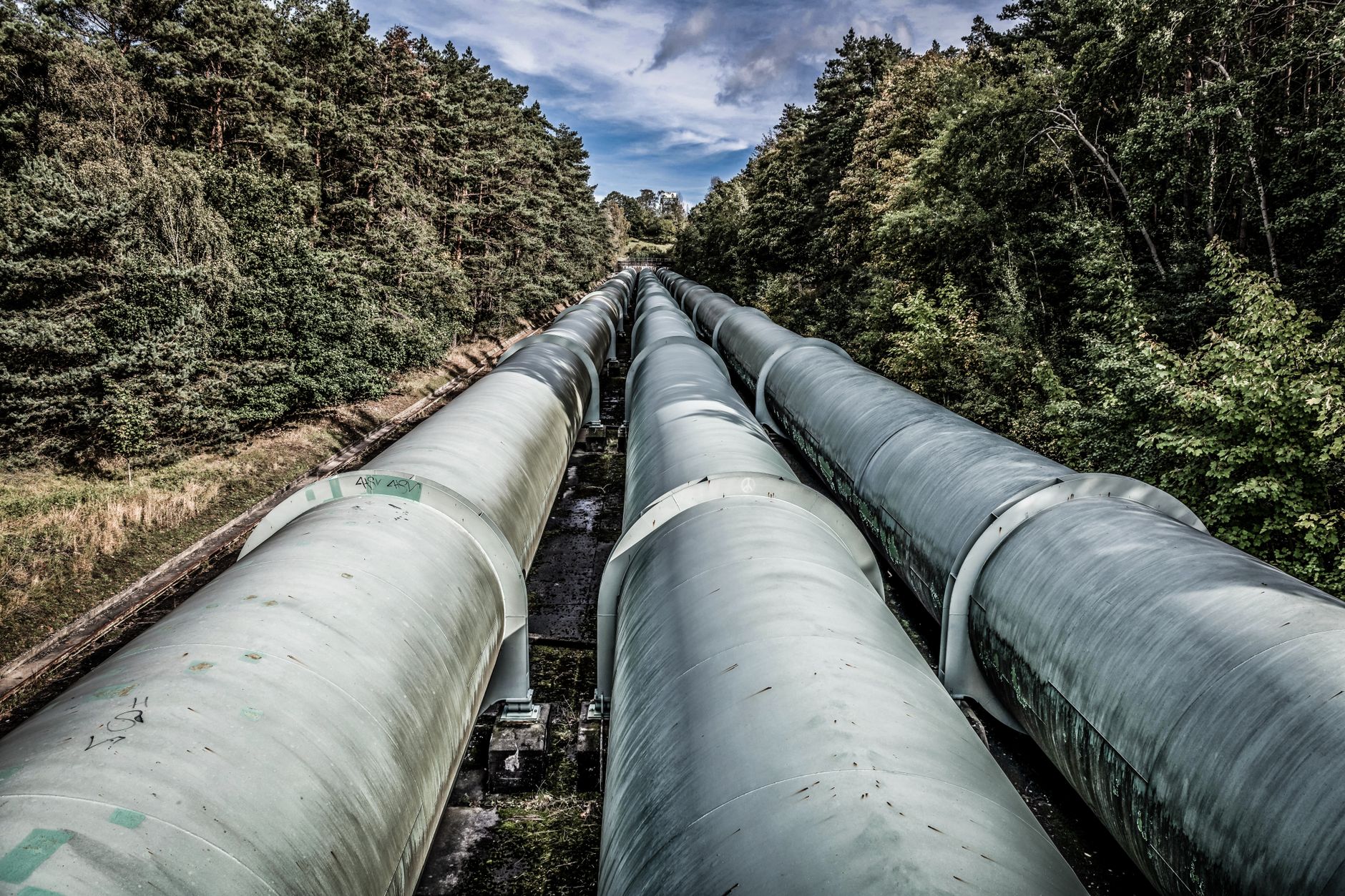
A drone makes sense in a drone vs pipeline inspector decision when the job is repeated aerial coverage of a long right-of-way to spot encroachment, erosion, vegetation change and new digging, especially in remote or hard terrain. A pipeline inspector on foot still does what a camera pass cannot, including close checks at the pipe, verification of what the drone flags, and documentation for the operator's patrol program. For most corridors the practical answer is a drone for coverage and people for verification, and the right mix depends on terrain, class location and how often the program must patrol.
Key takeaways
- Drones cover distance quickly, but most throughput figures here come from the providers themselves.
- Federal patrol rules set the duty and the frequency drivers, not a single required method.
- A drone flags surface change; people confirm leaks, dig activity and what sits under cover.
- Beyond visual line of sight flights need an FAA waiver or program until the Part 108 rule takes effect.
- No verified national data on inspector turnover or shift hours was found, so measure your own corridor first.
Drone vs pipeline inspector: which makes sense on a corridor?
A drone makes sense on a pipeline corridor when the job is repeated aerial coverage of a long right-of-way, looking for encroachment, erosion, vegetation change and new equipment or digging near the line. That work is large in distance and light in detail, which is what an aerial pass does well. Terrain sets the pull. Remote desert, swamp, steep canyon and river crossings are where walking is slow and hazardous, and where the coverage gain is largest.
It does not make sense as a replacement for the person on the line. A drone cannot confirm a small leak at the pipe, cannot see well under dense canopy or snow, and cannot make the on-site call when a crew finds work that must stop. Where the corridor runs through populated areas with many road and fence crossings, a walking or vehicle patrol stays essential for close checks, and aerial passes add coverage rather than replacing it.
The honest default is both. Drones cover distance and flag change, and inspectors verify and document. The mix depends on the line class, the patrol interval the operator sets, and what the terrain costs a person to cover on foot.
How many miles of pipe are there in the US?
The mileage decides whether patrol is a routine task or a standing staffing question. According to a Congressional Research Service report that cites PHMSA's Pipeline Miles and Facilities database, hazardous liquid transmission was 225,637 miles in 2023, and hazardous liquid gathering was 40,635 miles in the same report. The same body puts gas transmission at around 300,000 miles, and a 2025 report using 2023-era figures gives about 380,000 miles of gas gathering.
An older count shows the crude and product split. According to the National Academies, citing PHMSA annual report data, hazardous liquid pipelines were about 220,000 miles in 2021, with about 70,000 miles of crude oil and about 74,000 miles of petroleum products. These figures come from different years and categories, so do not add them together. Check current totals and your own segments in the PHMSA database before you size a patrol.
What does a pipeline inspector do during a shift?
A pipeline inspector works the right-of-way on foot or from a vehicle, watching the ground along the line for signs that the pipe is being disturbed or the surface is changing. Typical findings include digging or heavy equipment near the line, erosion that exposes or undermines pipe, vegetation or wet ground that suggests a release, structures or fences built into the easement, and markers that have been moved or covered. Each finding is recorded, photographed and passed to the operator's control and integrity staff.
The patrol is a regulatory duty. Under 49 CFR 192.705, each operator must have a patrol program that observes surface conditions on and adjacent to transmission right-of-way for indications of leaks, construction activity and other safety factors. Patrol frequency depends on line size, operating pressure, class location, terrain and weather, so the same mile can need a different visit rate depending on where it runs.
We could not find verified national figures for ground patrol hours per mile, injury rates among pipeline inspectors, or the national headcount of inspectors in the sources reviewed for this page. That gap matters, because the hours on a given corridor are what a decision should rest on. A site assessment is where those hours get measured against your own patrol schedule.
Which parts of the patrol can a drone take over?
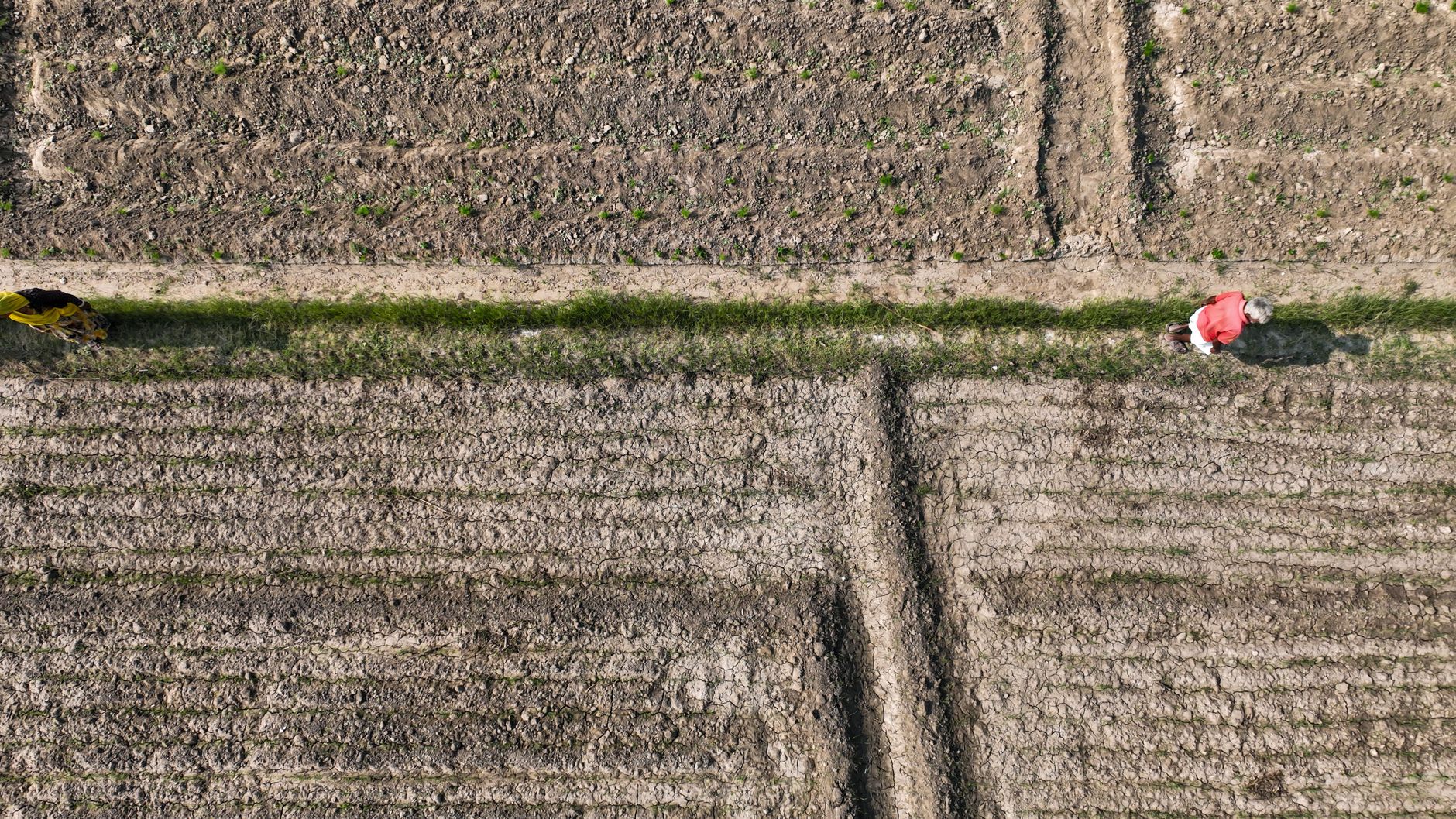
A drone is strongest where the patrol is about coverage. It can fly the same route on a fixed schedule, capture imagery that is consistent from pass to pass, and let an analyst compare current images with earlier ones. That makes it useful for spotting new construction or equipment near the easement, changes in grade and erosion, and vegetation growing into or away from the right-of-way. Because it does not need a crew to walk each mile, the same data can cover remote ground that is slow to reach on foot.
Throughput numbers exist, but they come from the providers. A trade report on a drone patrol describes 332.4 miles of pipeline right-of-way covered in 7.72 flight hours across 16 beyond visual line of sight flights. Those two reported numbers imply about 1.4 minutes of flight per mile, so if you see a different per-mile figure, ask how it was derived. The figures are the provider's own and exclude ground crew time, so they describe flight time, not the full patrol.
What can a drone not do on a pipeline corridor?
The drone's limits are where the inspector's job starts. A camera pass does not confirm a leak. Surface signs such as dead vegetation or wet ground can be hard to read from the air, and a small release may leave no visible sign at all. A drone with specialized sensing can narrow a search, but a confirmed check at the pipe still has to close the finding. Dense canopy, snow, deep shadow in canyons and low light all cut what an image can show.
Drones also cannot make on-site decisions. When a crew finds an excavator working close to the line, a person decides whether to stop the work, calls the operator and marks the location. A drone cannot cross a fence line, open a gate, talk to a landowner or manage traffic at a road crossing. It also cannot see buried conditions, which take locating records and physical checks.
- Covering remote ground
Drone
Flies the route without walking the terrain, though weather and airspace limits apply
Pipeline Inspector
Slow and hazardous on remote or steep ground, but reaches what a camera misses
- Spotting surface change
Drone
Consistent imagery from pass to pass, good for new equipment, fresh cuts and grade change
Pipeline Inspector
Notices change at close range and in context, though not consistently across many miles
- Confirming a leak
Drone
Can flag surface signs, but a small release may leave nothing to see from the air
Pipeline Inspector
Can check at the pipe and follow up on signs with sensing equipment
- Road and fence crossings
Drone
Needs airspace, landowner and site clearance first
Pipeline Inspector
Can cross fences, manage traffic and speak with landowners
- Night or low light
Drone
Limited by what the sensor can image
Pipeline Inspector
Can patrol with lights, though fatigue and safety apply
- Repeatability and records
Drone
Same route on a fixed schedule with comparable data
Pipeline Inspector
Records findings in the field, and route consistency depends on the crew
What do federal rules mean for drone patrols?
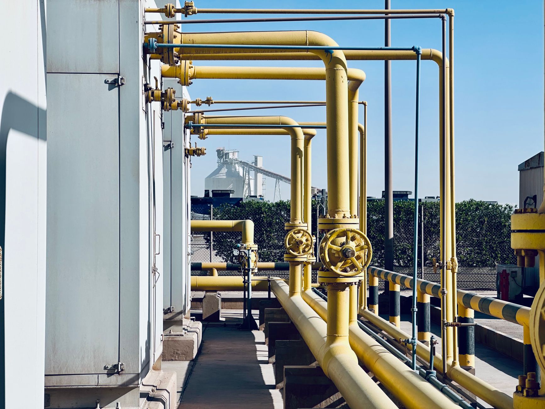
The patrol rule sets the duty and the frequency drivers. The text reviewed for this page does not name a single required method, so an operator can use aerial passes inside its program if the program still meets its obligations. Confirm that with the operator's compliance group before changing the patrol plan, because the regulation sets the outcome, not the aircraft.
Beyond visual line of sight is the other constraint. The FAA's proposed Part 108 rule would normalize these flights. Reports disagree on its last procedural step, but the most recent one places it unpublished as of August 27, 2026. Until it takes effect, beyond visual line of sight flights need individual FAA waivers or a program such as BEYOND, which adds up to eight state and local partners and is extended through 2029 by Section 920 of the FAA Reauthorization Act, according to an aviation news report. Confirm current status before you plan flights.
- Patrol duty: 49 CFR 192.705 requires a patrol program, with frequency set by line size, pressure, class location, terrain and weather.
- Flight approval: beyond visual line of sight flights need an FAA waiver or program until Part 108 takes effect.
- Program fit: check with the operator's compliance group before any aerial pass replaces or supplements a scheduled visit.
What do the hours and labor numbers show?
This is where the data is thinnest, and we would rather say so than fill the gap. We found no verified federal figures on pipeline inspector turnover, overtime, night shifts or sick days in the sources for this page. A career guide says gas pipe inspectors spend more time away from home, but we did not confirm that against federal data. Plan labor from your own roster, schedule and call-out history during the site assessment.
Hours follow the mileage and the patrol interval. A long segment that must be patrolled several times a year takes a set number of hours whether or not an aircraft is added. The drone changes where those hours go. It moves coverage flight time into the air and leaves ground hours for verification, reporting and dig-activity responses that cannot wait for the next pass.
Cost is the claim most often overstated. Some industry articles offer percentage savings but cite no study behind them. A West Virginia University research presentation prepared for PHMSA, which we could not open in full for this page, is reported to find that the traditional approach likely has lower cost per kilometer than the UAV approach, and that UAV use is hard to justify except in the most complex terrain. Treat that as the cautious baseline until your own segment numbers say otherwise.
Why does digging damage shape patrol priorities?
Patrols exist because outside parties damage pipe. According to a 2026 Federal Register advisory bulletin, excavation damage remains a leading cause of pipeline incidents involving injuries, fatalities and property damage, and one state had more than 2,000 excavation damages in calendar year 2024. A patrol that spots equipment, fresh cuts and stockpiles near the easement is working on that cause directly.
State data points the same way at a smaller scale. According to the Arizona Corporation Commission's 2023 state report, third-party excavator error was the leading cause, with 760 reported hits. That is one state's count, not a national figure, but it shows why the useful moment is before digging starts. Vehicle strikes on or near the right-of-way are also a recognized cause, which makes road crossings worth watching closely.
How does a team work with a drone on the corridor?
The team is a drone plus fewer people, never a drone alone. The aircraft covers distance, the trained operator handles flight, airspace and data, and inspectors move toward flagged points, close verification, landowner contact and documentation. Crew size should follow the flag volume rather than the flight schedule, so a flag does not sit for a week waiting for someone to reach it.
Training matters as much as the aircraft. Inspectors need to read the imagery, know the operator's thresholds for escalation, and know the stop-work steps when they find excavation near the line. We pick the right aircraft for the segment, lease it through financing, deploy and integrate it, train staff and service it nationwide, so the workflow is in place before the first live pass.
Backup planning keeps the patrol running. One grounded aircraft should not leave a segment unwatched, so plan for spare coverage and for inspectors who can walk the route in the interim. Staffing still matters. Without enough inspectors to act on flags, the drone's speed turns into a backlog.
How do you start a drone pipeline patrol pilot?
Start with one segment rather than the whole system. Pick a stretch that mixes easy and hard terrain, has a known patrol history, and includes at least one road crossing. Pull the segment's patrol records, its class location and its excavation damage history. Those three inputs make the comparison honest.
Then book a free site assessment. The assessment maps the segment, measures your current ground hours on the same route, and tests an aerial pass against that baseline. The lease is quoted after the site assessment through financing, so the payment reflects your route and terrain rather than a generic estimate. We handle integration with your data, train the people who will use it, and provide on-site dispatch and remote triage through one number.
Run the pilot long enough to cover at least one full patrol cycle. Compare flagged findings and verification hours against the walking baseline, then decide the next segment on that evidence. Ask about loaner units and spare coverage before the pilot starts, so one grounded aircraft does not end the test early.
Frequently asked questions
Want a drone at your oil and gas pipeline corridor?
Tell us about your site. We will recommend the robot, quote the lease, and keep it serviced.
Sources
- Congressional Research Service report on pipeline mileage
- National Academies chapter on hazardous liquid pipelines
- 49 CFR 192.705 patrol requirement, Cornell Law School
- Federal Register advisory bulletin, 2026
- Arizona Corporation Commission 2023 pipeline damage report
- PHMSA-hosted research presentation on UAV pipeline patrol cost
- Trade report on a drone pipeline right-of-way patrol
- Aviation news on FAA beyond visual line of sight rule and BEYOND