
The short answer
Drone cost for coastal seawalls depends mainly on how much wall must be covered, how safely crews can reach it, how soon the data is needed after a storm, and how much mapping, processing and reporting follow the flight. Flying time is often the smallest share of the job, so we quote after a free site assessment that measures those factors on the ground.
Key takeaways
- Flight time is usually the smallest share of a seawall drone job, and mapping, processing and reporting take more.
- Wall length, segments and access move the quote more than the choice of aircraft does.
- One UK contractor case study reported 1.5 days on site for a drone team against about three days for a foot survey.
- Beyond visual line of sight flights generally need a Part 107 waiver until the pending Part 108 rule takes effect.
- Ask for a quote after a free site assessment, and check that it lists ground control, processing, insurance, training and service.
What is the drone cost for coastal seawalls?
The drone cost for coastal seawalls is set less by the aircraft than by the work around it. A drone can cover a long, hard-to-walk stretch of rock, concrete or earthen wall faster than a crew on foot, but the total depends on how much wall needs coverage, how often it must be flown, how the imagery is processed, and how the results reach the engineers who decide on repairs.
The best published comparison we found comes from a UK sea wall job reported by a construction trade publication. According to that account, a drone team spent 1.5 days on site where a two-person topographic survey was estimated at about three days, and the contractor reported the method was around 30% cheaper. Foot surveys were ruled out on safety grounds because of a threat of collapse.
Treat that as one contractor's account, not an independent benchmark. A university conference paper on rock seawalls at Belongil Beach in Australia reported about two hours of flying, plus ground control and GNSS base data, with accuracy similar to or better than airborne LiDAR. Most of the lasting effort sits in the ground work and reporting around that flight.
What makes drone cost for coastal seawalls go up or down?
Length is the first driver, and it is larger than most owners expect. According to Gittman et al. (2015), at least 476.81 miles of oceanfront shoreline from Maine to the North Carolina and South Carolina border has been armored, about 27% of the total. Massachusetts alone has 157.24 miles of armored oceanfront beach, 31% of its sandy shoreline.
Armoring is also common on protected water. The USGS reports about 2,500 miles of sheltered coastline in Puget Sound, roughly one-third of it armored. A single wall rarely stands alone, so scope is usually set by segments, breaks and access points rather than by one straight line on a map.
The factors below move the quote on most seawall jobs. Each one changes flight planning, crew time or the size of the data set, so ask for each to be written into the site assessment.
- Length and number of separate segments, since each break in a wall adds setup, flight planning and data joins.
- Wall type, such as rock revetment, concrete or earthen seawall, since each surface needs its own flight height and image overlap.
- Access and staging, including safe launch points near the wall and the walk between them.
- Tide and surf windows, because flights often depend on low tide and calm wind.
- Required accuracy and deliverable, since a photo set takes less work than a model tied to surveyed ground points.
- Storm timing, since a rush survey within days of a storm is harder to schedule than a planned baseline flight.
- Repeat cycles and service, since a good baseline shortens later post-storm flights but adds scheduled work over the year.
Is a drone survey cheaper than walking the seawall?
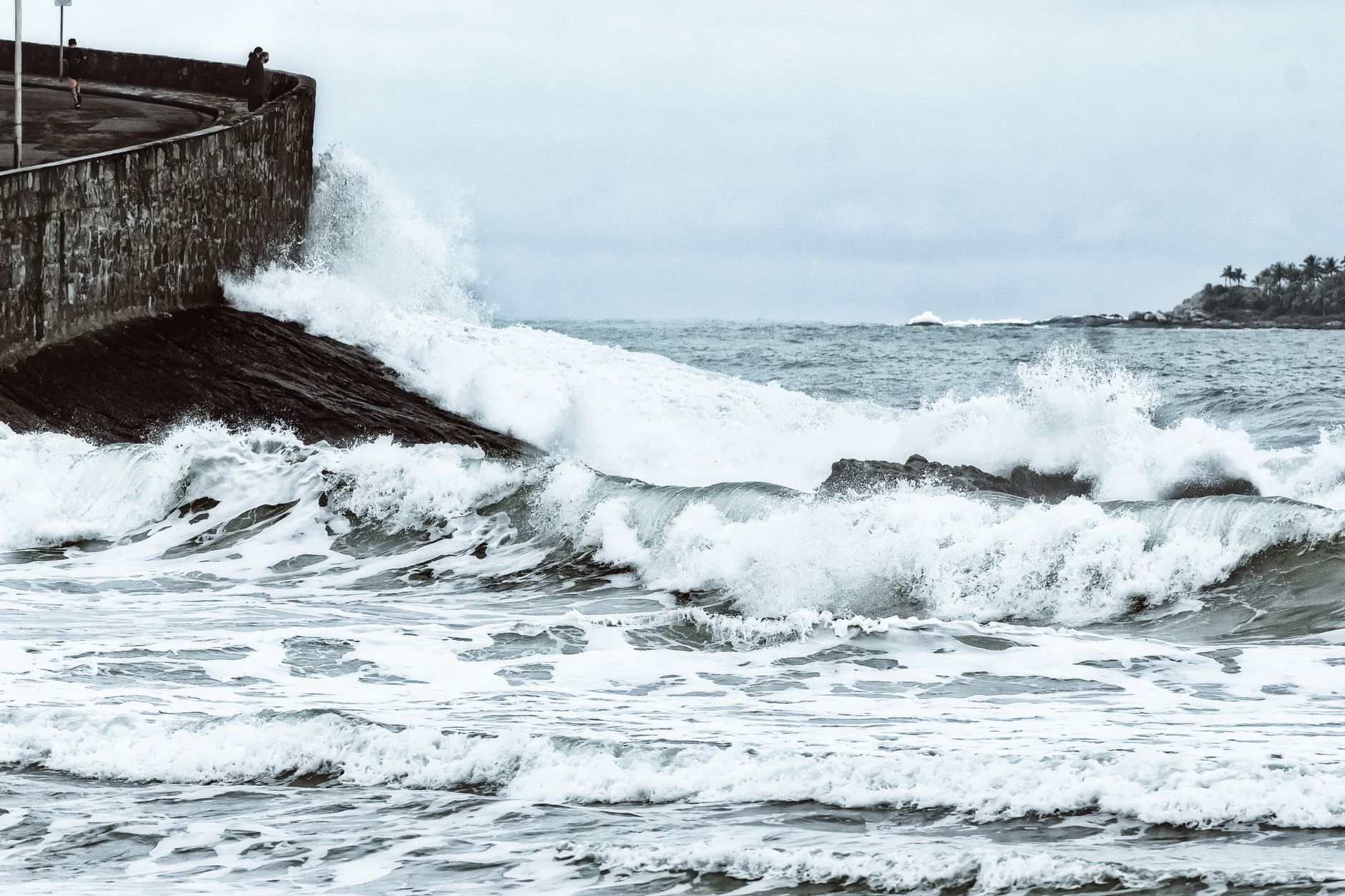
Often yes, but the answer depends on what the walk replaces. In the UK case described above, walking was ruled out for safety, so the real comparison was between a drone and a survey that could not safely be done on foot. That is a common post-storm situation: the wall may be damaged, the toe may be under water, and no one should stand on the stretch that needs measuring.
A survey vendor's own account of a port project in Djibouti shows a different kind of gap. It reported one point per 5 meters from a leveling survey, while the drone produced over 20,000 height measurements per square meter. That is the vendor's account, not an independent time comparison, so use it to judge data density rather than hours.
We did not find a published head-to-head timing study of drone and foot surveys on the same seawall. A consultant's project page for the Promontory Point seawall paired drone mapping with targeted crew field checks. That hybrid is the pattern most sites should expect: fewer hours on foot, but not zero.
How many people does seawall drone work take?
Staffing is a smaller line than most people assume, but it sets the schedule. According to the Bureau of Labor Statistics Occupational Outlook Handbook, about 59,400 people held surveying and mapping technician jobs in 2024, and employment is projected to grow 6 percent from 2025 to 2035. That occupation covers survey and mapping work broadly, not drone seawall crews, so read it as a sign of labor supply rather than a head count.
A typical seawall flight team needs a pilot, a second person to watch the airspace and the crew where the rules or the site require it, and someone to process the imagery. On a small site one person may hold two roles. On a long wall, team size and shift length decide how many days the survey takes, so ask how many people the quote assumes and for how many hours.
Staff training in the lease covers flight operations, data handling and the routine checks your own people can do. Trained staff on site shorten post-storm turnaround, because they can fly an extra segment when the first pass shows damage.
How does leasing a drone through financing work?
We lease the aircraft through financing, so there is no upfront capital line for the unit itself. The lease payment is a fixed amount set in the quote after the site assessment. The term length, the payment schedule and what changes if the wall scope changes are written into the same document.
The quote is built from your site, not from a catalog page. It covers the aircraft, deployment, the mapping plan, integration with your data flow, staff training, the service plan and go-live support. Anything not listed in the quote is not included, so ask what is out of scope before you compare totals.
Timing matters. A one-time storm survey may fit a short scope better than a long lease, and a repeat baseline plan may justify a longer term. We will say which fits your wall when we assess it, and we will not set a term longer than the work needs.
What rules limit drone flights along a seawall?
Under FAA Part 107 rules, flying beyond visual line of sight generally requires an individual waiver. Many long seawall surveys are beyond visual line of sight, so the waiver is often the main regulatory step. The FAA and TSA proposed a beyond visual line of sight rule, known as Part 108, on August 7, 2025, with comments due October 6, 2025.
An aviation industry report says the final rule went to White House review on July 10, 2026, and was still pending as of September 8, 2026. Until a final rule takes effect, routine beyond visual line of sight flights still need a Part 107 waiver or a Part 135 certificate. Check the status before you plan a flight schedule, because the rule may have moved since that report.
Beach and shoreline work can also need state or local permits, which sit outside the aviation rules. Ask the assessment team to list every approval the site needs, because a flight that is legal in the air can still be blocked on the ground.
What can a drone not do on a seawall?
A drone sees surfaces. It does not replace hands-on checks where the damage is below the waterline or hidden behind the armor. Toe conditions, scour under water and voids inside a wall need other methods, and the engineer should decide which checks are required.
Weather limits flights, and storms are when you most want them. Wind, rain and heavy surf can ground the aircraft for hours or days, and post-storm access may be restricted by hazards or closures. Build a backup plan with crew checks for any stretch that cannot be flown.
A drone image does not measure structural capacity. An interpreted model shows where the surface moved or cracked, and the engineer still judges whether the wall can hold. A Florida county field inspection after an October 2025 nor'easter documented a seawall failure and used drone footage of a beach nourishment area. That is the pattern to copy: drone for coverage, people for judgment.
How do I get a drone cost quote for a seawall?
Start with a free site assessment. We need the wall length in segments, the shoreline type, the access points and staging area, the tide and surf windows you can use, the storm history, and what the engineers need as a deliverable. Pre-storm baselines matter. A Florida county ran drone surveys with pre-storm baselines and post-storm assessments for its October and November 2025 storms, and a 2025 New Hampshire conference session modeled about 4.5 miles of earthen seawall damage from drone LiDAR data after a winter storm.
After the assessment, the quote comes back with the lease payment and a line for each item. Compare quotes on the same scope rather than on the aircraft. Ask each provider to show ground control, processing, reporting, insurance, training and service, and whether each is included or extra.
If the wall is long, start with one segment as a pilot. A short first survey shows how long the work takes on your shoreline, which gives you real hours before you decide on the full scope.
Frequently asked questions
Upcoming public sector events
- Trade showAPC/PennDOT/PA Turnpike Fall SeminarNov 18 to 20, 2026Hershey Lodge, Hershey, PA
- Trade showMinnesota Buildings & Facilities Management Trade ShowNov 19, 2026Minneapolis Convention Center, Minneapolis, MN
- ConferenceCASBO CBO Symposium (Executive)Nov 19 to 20, 2026The Langham, Pasadena, CA
- ConferenceVirginia Association of Fairs ConventionJan 14 to 17, 2027Williamsburg Lodge, Autograph Collection, Williamsburg, VA
Want a drone at your coastal seawall?
Tell us about your site. We will recommend the robot, quote the lease, and keep it serviced.
Sources
- Gittman et al. (2015), Engineering Away Our Natural Defenses
- USGS, impacts of armoring on sheltered shorelines in Puget Sound
- UK construction trade press, Dover sea wall drone survey case study
- Academic conference paper, UAV condition survey of coastal structures (Belongil Beach)
- BLS Occupational Outlook Handbook, surveying and mapping technicians
- FAA, beyond visual line of sight
- New Hampshire seawall conference session, 2025
- Florida county field inspection report, October 2025 nor'easter