
The short answer
Drone cost for railroad rights-of-way depends mostly on how many track miles each survey covers, how steep and wet the embankments and drainage are, which flight rules apply, what sensors and data processing the inspectors need, and how much service the fleet requires. No single figure fits every corridor, so we set the lease quote after a free site assessment that measures those inputs on the ground. The rest of this page explains each factor, the costs people tend to miss, and what a quote should include.
Key takeaways
- Track miles per cycle, counted with yards and sidings, set most of the flight plan.
- Steep embankments and drainage features need closer passes than flat ballast does.
- Flight permissions are still changing, so confirm the path before you agree to a schedule.
- A drone narrows the ground walk, but it does not replace the designated inspection on its own.
- The lease quote comes after a free site assessment and lists what is and is not included.
What does a drone cost for railroad rights-of-way depend on?
The cost comes from the work the drone has to do on each inspection cycle, not from the aircraft alone. Four things set the size of that work: the track miles surveyed, the terrain and drainage along them, the rules that govern the flights, and the support the fleet needs to stay in service. Each one moves the total in its own way, and the weight of each depends on the corridor.
Most railroads already run an inspection program, so the real question is how a drone fits inside it. In practice a survey feeds imagery to the ground inspector, who decides where to walk. That is a narrower job than replacing the inspection, and it keeps the scope tied to a defined corridor rather than to the aircraft.
We do not print a price on this page. A short branch line with plain ballast and one crossing can need a far smaller survey than a multi-track mainline with tunnels, bridges and long fills, and the lease quote has to reflect that gap.
How many track miles does a drone survey have to cover?
The national scale is large. According to Statista, citing U.S. DOT data, the U.S. Class I network was about 91,773 statute miles in 2020, the newest figure we could find in that series. RailServe, using AAR-based figures, reported 94,372 Class I route miles in 2014 and about 137,000 route miles across all classes. Those figures come from different years and counting rules, so keep them apart in any budget.
The distinction that matters for a quote is route miles versus the track you actually fly. RailServe notes that route miles exclude yards, sidings and parallel main tracks. A survey plan for a terminal or a double track corridor has to count those extra tracks, so the flight distance can run well above the route mileage on paper.
For that reason our survey scope is a list of track segments, each with its type and length, rather than a single mileage number. Segments with yards, crossings and sidings cost more flight time per mile than one straight main line, and the list shows where that time goes.
What do FRA track rules and FAA drone rules mean for the flight plan?
Federal track rules set the inspection schedule, and a drone does not change that schedule. Under 49 CFR 213.233(a), all track must be inspected on the schedule in paragraph (c) by a person designated under section 213.7. Paragraph (b) allows automated inspection at set frequencies. The class-by-class table in paragraph (c) should be read directly in the eCFR text, not in summaries.
The cadence is where the cost sits. For Class 3, 4 and 5 main track carrying only passenger service, the regulation text requires either an automated or a walking inspection once per calendar year. A footnote ties a twice weekly inspection requirement to track that carries regularly scheduled passenger trains, with an exception for purely tourist, scenic, historic or excursion service. A corridor on the twice weekly schedule needs far more flights per year than one on the annual schedule, so the frequency belongs in the quote inputs.
Whether a drone survey counts toward the designated inspection is a question for your track safety program and counsel. The research we ran does not establish that a survey substitutes for the designated inspection, so plan the drone as a tool that informs ground checks unless your program decides otherwise.
On the air side, the FAA sent its Part 108 beyond visual line of sight rule to the White House regulatory review office on July 10, 2026. As of mid-September 2026, the latest report we found, it had not been published and no date was announced. The statutory deadline of January 16, 2026, under the FAA Reauthorization Act of 2024, passed without a rule. The FAA's Robert Reckert said the agency is hoping to publish before the end of 2026. According to PickDrones, routine beyond visual line of sight flight still requires a Part 107 waiver or a Part 135 certificate until Part 108 takes effect. Waivers and certificate work add staff time before the first flight, so they belong in the cost.
Which site factors raise or lower the cost of a drone survey?
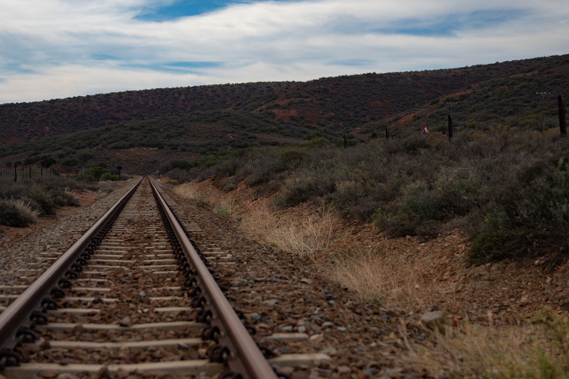
Terrain is the largest physical driver. Steep embankments, deep cuts and tall fills need altitude changes, tighter flight lines and more overlap between passes, which adds flight time per mile compared with flat ground. The more the surface changes, the more passes the imagery needs.
Drainage adds a second layer. Culverts, ditches and low spots are small features, so they usually need closer passes than the embankment around them, and they are where water problems first show up.
Sensors come next. A 2024 review in Automation in Construction, according to the Hong Kong Polytechnic University research record, covers UAV types, regulations, and imaging, LiDAR and infrared sensors for railway tracks, bridges and tunnels. Each added sensor adds hardware, data processing and sometimes a separate flight plan. Begin with the imaging the inspectors need to make a decision, and add LiDAR or infrared only where a defect type requires it.
Bridges and tunnels change the flight plan. Tunnel approaches and bridge decks limit line of sight and satellite positioning, so the crew has to plan those segments separately rather than fly them as part of the main line.
Weather and daylight set the calendar. Wind, rain and low light cut the flying window, and a survey that fits three days a week takes longer and costs more per mile than one that fits five. Ask for the local wind and rain pattern during the site assessment.
How much inspector time does a drone survey take over?
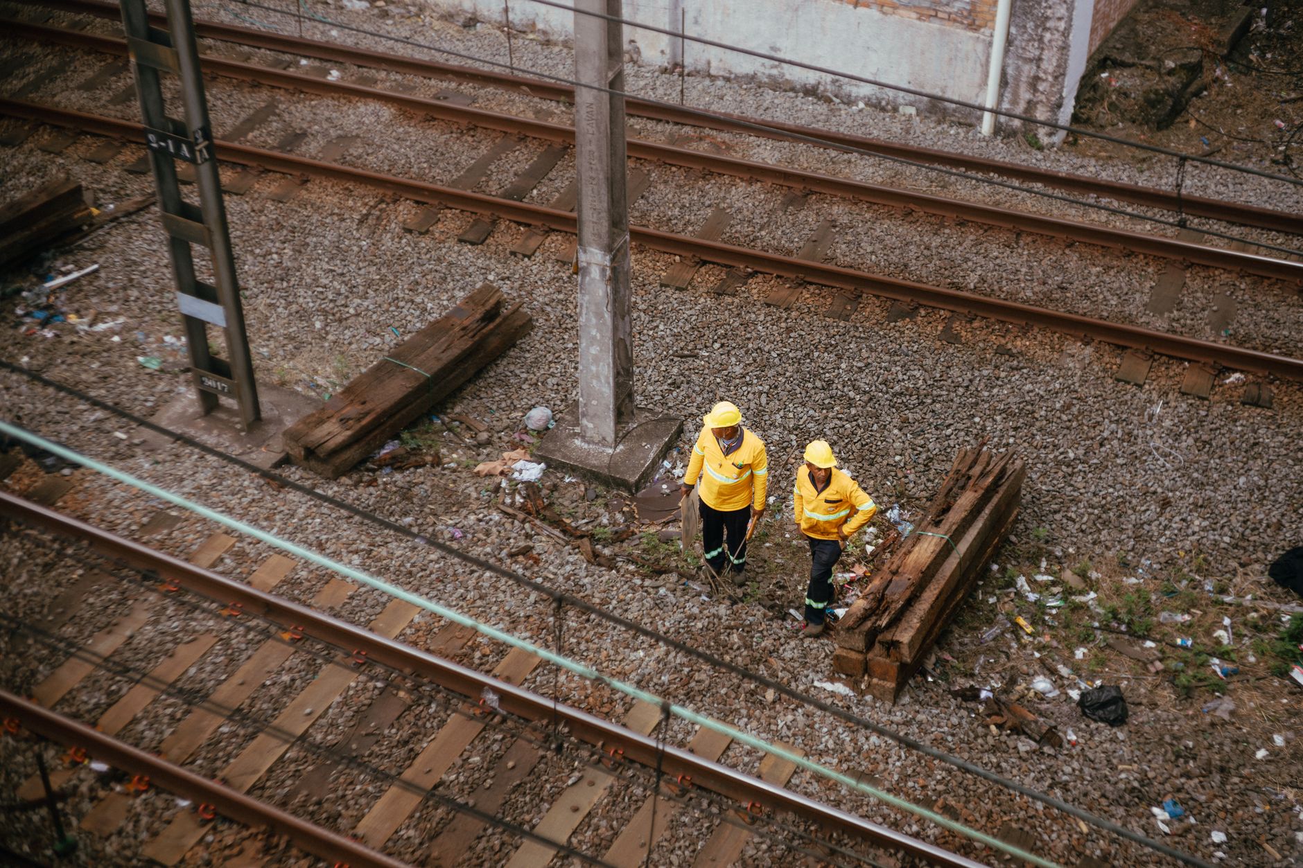
The labor question matters more than the aircraft. According to the U.S. Bureau of Labor Statistics, track maintenance work sits in the occupation Rail-Track Laying and Maintenance Equipment Operators, SOC 47-4061. We found no separate BLS category for track inspectors, so staffing for the inspection role has to come from your own roster and inspection log.
Staffing counts move from year to year, so use your own numbers rather than a national count. The question for the quote is how many segments a crew walks each cycle, how many of those walks the imagery can replace, and how long the desk review takes.
Safety context helps set expectations. According to AAR, Class I railroads reached their lowest employee injury rate ever in 2025, and employee casualty rates have fallen 54 percent over the long run. AAR also reports track-caused accidents down 53 percent, at their lowest level in the industry's history. The research found no track maintenance specific injury rate, so do not present these industry figures as a rate for inspectors.
What a drone changes is the walk. Inspectors who walked every segment can start from imagery, decide which segments need a ground check, and send the rest to the regular cycle. The hours saved depend on your segment count and on how much of the corridor the imagery can clear in one pass.
How does leasing through financing work, and what does the quote include?
We lease the drone and its supporting equipment through financing, so you do not commit capital up front. The lease is a fixed lease payment set after a free site assessment, and the terms are written into the quote.
Read the quote line by line. In our quotes the scope covers the aircraft lease, corridor mapping and integration, deployment and go-live support, staff training, and service with on-site dispatch or remote triage. Maintenance is included in the service plan. The quote also states whether insurance and software are included and lists the excluded items.
Lease options differ in term length and in how many units you start with. Many sites start with one unit on a single corridor to test the workflow before wider coverage. Ask about spare unit coverage, because a single aircraft down during a survey window can stall the cycle.
Before signing, ask four things: the term length, what happens at the end of the term, how replacement works when a unit is down, and what the quote does not include. The answers should be in writing.
What can a drone not do on a rail corridor?
A drone works from the air, so it reads the top of the track, the embankment surface and visible drainage. It does not replace a close look at rail wear, fastener condition or anything under a bridge deck. Those checks still need a person on the ground or a dedicated tool.
Weather limits flying. Wind, rain, low light and dense canopy shorten the window, and tunnels and structures need their own plan rather than a pass over the main line. A survey plan that assumes every day is a flying day will run late.
The rules set another limit. Until Part 108 takes effect, routine beyond visual line of sight operations may need a waiver or certificate, so plan the schedule around that path rather than assuming daily flights.
The evidence base is still early. The 2024 review lists regulatory updates as a future challenge, and the research found no independent quantitative study that compares drone embankment or drainage surveys with manual inspection. That gap is why a pilot corridor, run against your own ground log, is the honest way to test the claim before a wider lease.
How do I get a drone cost quote for my corridor?
Start with a segment list: track type, class, passenger service, inspection cycles per year, and where the embankments, drainage, bridges and tunnels sit. Those inputs drive the site assessment and tighten the number.
We visit the site, map the corridor, confirm the flight permission path and review the wind and rain pattern. The assessment is free, and it ends with a written quote tied to measured inputs rather than an estimate.
We are a US commercial robot integrator. We pick the right robot for the site, lease it through financing, deploy and integrate it, train the staff and service it nationwide. We stay vendor neutral, so the aircraft is chosen for your corridor, not from a short list set by one maker.
Before you request a quote, collect the last two inspection cycles, your latest ground log and any known drainage problems. Those three items shorten the visit and let the quote reflect the work that is actually there.
Frequently asked questions
Want a drone at your railroad right-of-way?
Tell us about your site. We will recommend the robot, quote the lease, and keep it serviced.
Sources
- AAR, FRA data confirms rail safety progress
- Statista, citing U.S. DOT data
- RailServe, railroad route miles
- eCFR, 49 CFR 213.233
- Low Altitude Economy, FAA Part 108 OIRA review
- PickDrones, FAA Part 108 delay
- Bureau of Labor Statistics, SOC 47-4061 rail-track maintenance equipment operators
- PolyU, UAV-based studies in railway infrastructure monitoring