
The short answer
Drone cost for tailings dams depends mainly on how much dam face and crest must be covered, how many flights run each year, and which sensors the job needs. Flight rules, weather days, and the processing and records that follow each flight also move the total. A lease quote is built from those inputs after a free site assessment.
Key takeaways
- Dam length, face height and flights per year drive most of the cost.
- Thermal imaging depends on weather, so schedules need spare days.
- Flights beyond visual line of sight or above 400 feet need FAA waivers.
- Drones cut time on foot but do not replace qualified review or required records.
- A lease quote is set after a free site assessment and lists service and training.
What drives drone cost for tailings dams?
The cost starts with the work itself. Dam length, face height, and the number of dams at one facility set the flight plan. Flight frequency and sensor needs set how many times that plan runs and what each run must capture. Those inputs explain most of the gap between two quotes for similar-looking sites.
Several factors sit around that core. Flight rules decide which flights are allowed as planned. Weather decides how many days the work can actually run. The people who fly, review and file the imagery decide whether the inspection record stays complete. Each of these adds time or equipment, so each shows up in the quote.
Why are tailings dams hard to inspect on foot?
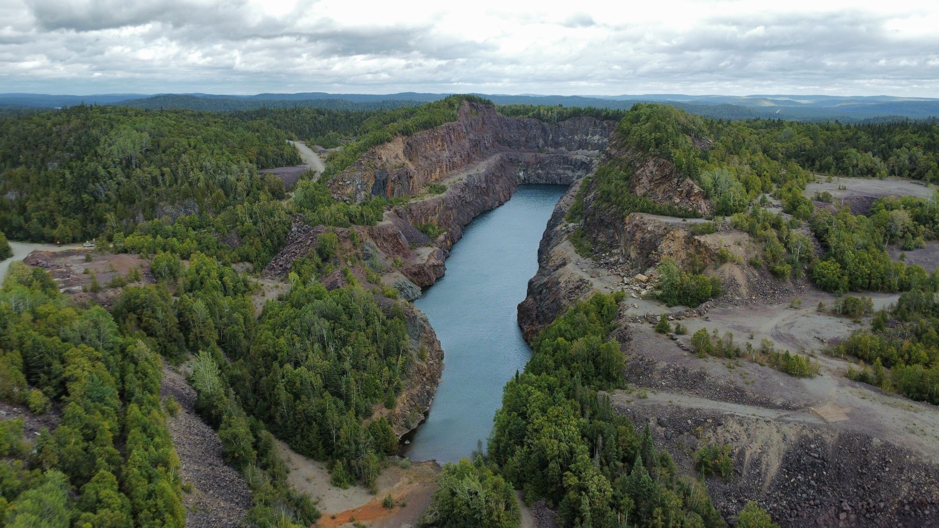
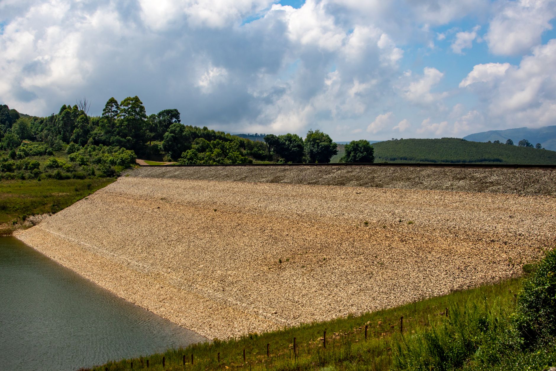
A tailings dam holds back the waste left after ore is processed, and many sit on steep, uneven embankments. According to the World Mine Tailings Failures analysis of the US Army Corps National Inventory of Dams, 2019 release, 1,232 tailings facilities are listed, holding 12.2 billion cubic meters of accumulated tailings.
The same analysis reports that about 42% of that tailings volume sits in 295 high-hazard facilities. Those are the sites where a missed change on a face or crest matters most, and where a walk on steep ground is slowest and most exposed to fall risk.
Drones can capture visual and thermal imagery of dam faces and crest lines. Crews walk fewer areas on foot, and each flight gives a repeatable image set to compare against the last one. The imagery supports the inspection. It does not replace the people who judge what they see.
Which factors move the cost up at a tailings site?
Size comes first. A short embankment with one crest and a few hundred meters of face is another job from a long dam with several lifts and benches. Each added meter of crest or face adds flight time, image count and review time, and those costs compound across every dam on the site.
Frequency matters as much as size. A dam checked after heavy rain and again each quarter runs far more flights in a year than one checked twice annually. The annual flight count drives more of the total than any single survey, so ask how often the work must run, not only how big the dam is.
Sensors change the equipment list. Visual cameras alone are the simpler setup. A thermal payload brings another sensor to calibrate and another weather window to plan for, since an ASRS presentation notes that thermal cameras were not effective in some weather conditions.
Mapping and processing add cost after the flight ends. Orthomosaics, three dimensional models and change comparisons need software and review hours. Storage and retention add cost over years, because inspection records must be kept long after the flight.
How much time does a drone save on a dam survey?
The clearest hour figures in this review come from an ASRS case study. It compared survey methods across 5,680 acres and found 38 hours on site without the drone and 16 hours with it. That was a whole-site survey rather than a dam face check, but it shows how much on-site time moves when flights take over the walking.
Global Mining Review reports that surveying a 23 square kilometer site takes 8 to 10 days conventionally versus one day by drone. That figure covers mapping, not thermal slope inspection, so read it as an upper bound on mapping gains rather than a benchmark for a dam face.
Adoption is still growing. A mining-technology analyst comment reports that 21% of mining respondents use drones for tailings dam monitoring. This review did not find staffing levels or crew hours for dam face inspection, so the hour figures below are site level, not dam face level.
What do FAA and MSHA rules add to the job?
Under FAA Part 107, a commercial small drone must stay at or below 400 feet above ground level unless it is within 400 feet of a structure, must fly within visual line of sight, and must weigh under 55 pounds. Operations beyond visual line of sight or above those limits need waivers, and waivers take time to obtain before the first flight.
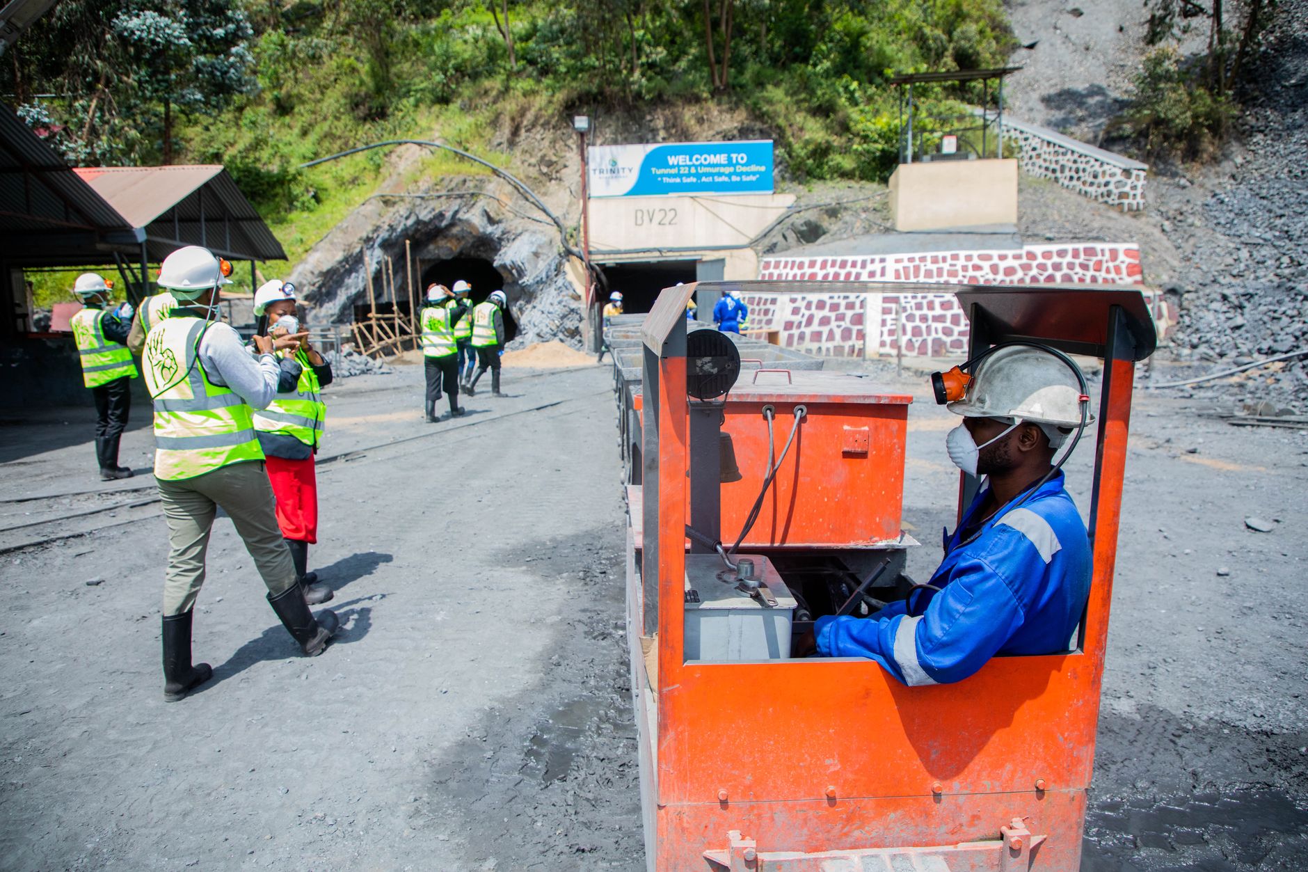
On the mine side, MSHA's Dam Inspection and Plan Review Handbook, dated January 2021, covers inspection procedures for impoundments and tailings dams at coal and metal and nonmetal mines. According to an MSHA directive on documenting dam inspections, form 4000-127 is completed the first time a qualifying dam is inspected, and checklist form 4000-127a is completed at every inspection.
Drone imagery supports those records. It does not replace the forms, and it does not change who is responsible for the inspection. Ask the mine's MSHA contacts how imagery should be referenced before you plan the program around it.
What can a drone not do on a dam?
A drone does not see inside the embankment. Seepage often shows up first as wet ground at the toe, a stain on a face, or a change in vegetation, and imagery can point crews toward those signs. Conditions inside the dam still need instruments and engineering judgment.
Weather limits both flight and thermal work. The ASRS presentation notes that thermal cameras were not effective in some conditions, and wind, rain and low visibility stop flights. Plan spare days in the schedule rather than expecting every planned flight to run on its date.
Range and altitude have limits too. Flights beyond line of sight or above 400 feet need waivers, and a drone only covers what its flight plan can reach. Areas blocked by equipment, deep basins and the far side of a long impoundment may still need a crew on foot.
How does leasing through financing work, and what does the quote include?
Our drones are leased through financing, so there is no upfront capital, and the lease payment is a fixed lease payment set in the quote. We pick the drone that fits the site, lease it, deploy and integrate it into your records, train your staff, and service it nationwide. That gives you one partner and one number for the work.
The quote follows a free site assessment. During the assessment we measure dam length and face height, note flight frequency and sensor needs, check access, and confirm waiver and insurance requirements. The quote then lists the lease, deployment, training and service as separate lines.
When you review a quote, ask whether software, data storage, flight permits and backup coverage are included, and what happens when a unit is grounded for repair. The answers decide whether the schedule holds in the second year as well as the first.
Is drone cost for tailings dams worth it?
Worth depends on how often each dam is checked, how much slope crews walk, and how many records must be filed. A facility with many dams, frequent flights and heavy documentation has more hours to recover than one dam checked once a year, so the payback is measured in your own schedule and records.
Worker risk belongs in the case too. According to the BLS Census of Fatal Occupational Injuries, 5,070 fatal work injuries were recorded in 2024, an overall rate of 3.3 per 100,000 full-time equivalent workers. The construction rate in the same release was 9.2 per 100,000 full-time equivalent workers. This review did not find a 2024 mining-specific rate, so use the overall figures as context rather than a mining benchmark.
Start with one facility and one flight schedule. Measure the hours saved and the records produced, then expand only if the imagery holds up at review and the crew trusts the results.
Frequently asked questions
Want a drone at your tailings dam?
Tell us about your site. We will recommend the robot, quote the lease, and keep it serviced.
Sources
- Mining Technology analyst comment on drone use
- ASRS case study on survey methods (15-05-Carter)
- Global Mining Review: accelerating mine surveying with UAV technology
- World Mine Tailings Failures analysis of US Army Corps National Inventory of Dams
- MSHA Dam Inspection and Plan Review Handbook PH21-V-6
- MSHA directive on documenting inspection of dams
- FAA Part 107 small unmanned aircraft systems regulations
- BLS Census of Fatal Occupational Injuries