
The short answer
Drone ROI for vineyards comes from spotting uneven vine stress across blocks sooner than walking the rows would, so irrigation and scouting go to the weakest areas first. The savings range depends on acres flown, the share of monitoring hours the drone takes over, and the lease cost quoted after a free site assessment. The calculator on this page shows a range, not a promise.
Key takeaways
- Drone ROI for vineyards comes from earlier stress detection and fewer blind scouting walks.
- Pruning and harvest labor stay with people. The drone works on the monitoring hours.
- A Rutgers extension analysis put break-even for owning a drone at around 300 to 400 acres, so acreage decides much of the math.
- Reported flight speeds vary widely, so measure your own blocks during the free site assessment.
- The lease is quoted after a free site assessment, and the savings are always shown as a range.
Run the numbers for your site
Pick your city or state for a real regional number - we use the real BLS wage there. (On the live site this auto-detects from your location.)
What do you want to automate?
The unit runs the repetitive patrol and watch; guards handle the judgment calls.
What is drone ROI for vineyards?
Drone ROI for vineyards is the return a grower gets when aerial imaging finds vine stress earlier than walking the rows would. The return shows up as better timing for irrigation, fewer scouting walks that cover healthy blocks, and a clearer picture of which blocks need attention before harvest losses build up. It is not a yield promise, and the calculator on this page is a starting range.
Service Robot Co. is a US commercial robot integrator. We pick the drone that fits the site, lease it through financing, deploy and integrate it, train the staff who run it, and service it nationwide. The lease is quoted after a free site assessment, which is where the range on this page becomes a firm number.
Where does the return come from?
The return comes from three places: staff time saved on scouting and monitoring walks, irrigation applied where stress actually shows, and earlier action on blocks that are falling behind. The labor offset is the easiest of these to measure, so it is the side the calculator prices. The labor side is priced in the hours of monitoring work a security guard would cover, and the government wage data for that job is shown on this page.
Irrigation and loss avoidance are real but harder to price in advance. They depend on how the vineyard responds to the map, which is why the assessment sets expectations for a specific operation rather than a general average.
Median hourly wage, Security Guards
$4,317
Monthly cost of one full-time worker, at the median wage plus payroll costs (an estimate, not a quote).
How much hand labor is in a vineyard?
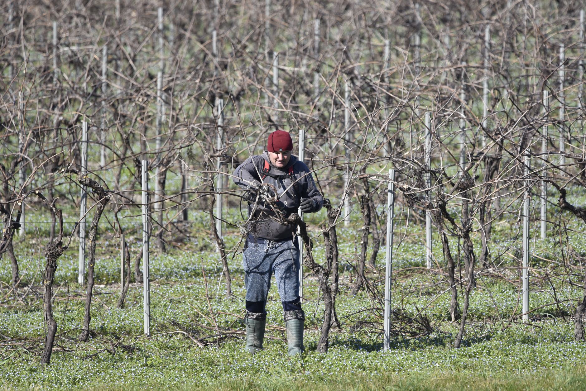
The most detailed published labor benchmark for vineyards comes from UC Cooperative Extension, which reports pruning hours. According to that source, hourly-paid pruners needed 26 labor hours per acre, while piece-rate pruners needed 19. Pruning hours also track vine vigor, at 15 hours per acre for low vigor, 22 for medium and 26 for high, averaged over both pay methods.
By region, the same UC source reports 21 pruning hours per acre in San Joaquin Valley wine vineyards, 23 in coastal areas plus Riverside, and 25 on the North Coast. The page carries no clear date, so treat these as a benchmark rather than a current survey. A drone does not prune. The point of the comparison is scale: a crew's time is heavily committed before scouting starts, and the drone works on the watching part of that load.
No published headcount per vineyard site was found, so the calculator starts from hours and acres rather than crew size.
How many vineyards could use a drone?
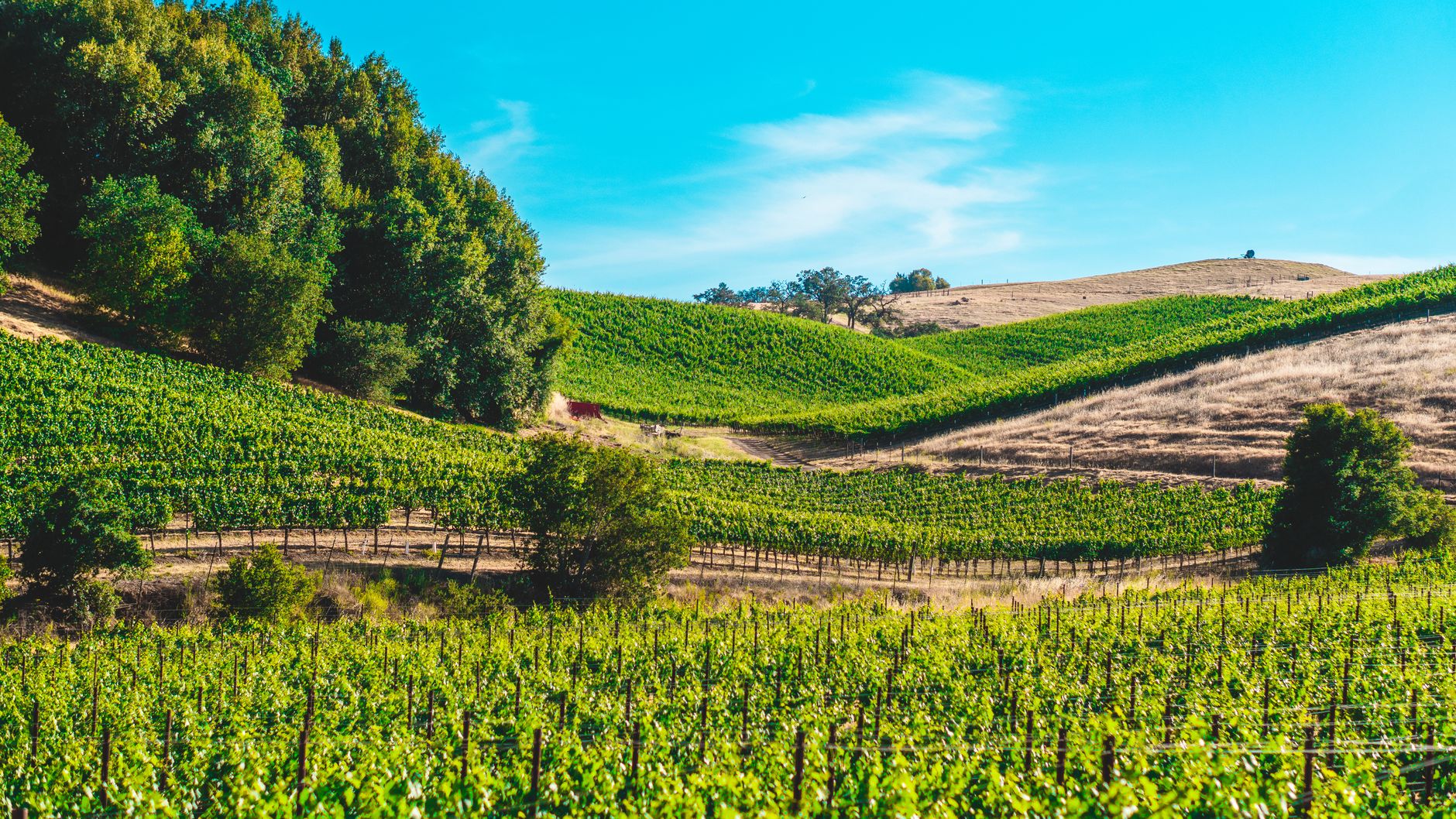
According to the USDA NASS 2025 California Grape Acreage Report, released April 22, 2026, California had 540,000 acres of wine-type grapes in 2025. Of that, 510,000 acres were bearing and 30,000 were non-bearing. Table grapes totaled 118,000 acres, with 115,000 bearing. A trade press summary of NASS data puts wine-type acreage at 580,000 acres in 2024 and 610,000 in 2023, so the acreage base has been shrinking.
No national US bearing vineyard total was found, so these figures cover California only. Acreage describes the market, but one operation's return depends on its own blocks, not the state total.
Adoption data for vineyards is thin. A Stratovation Group survey of 261 large, full-time row-crop farmers across the US, reported by AgTech Tomorrow, found that among non-users, 30 percent plan to add a drone within the next 35 months and 41 percent do not plan to ever add one. Those are row-crop farmers, not vineyards, so read the figures as a signal rather than a vineyard benchmark.
How does the savings math work?
The calculator runs four inputs: acres flown per season, flight speed, the share of monitoring hours the drone takes over, and the lease cost. The labor offset equals the staff hours the flights replace, minus setup, battery swaps and map review. That offset is priced at the government wage data for security guards shown on this page, so the labor side moves with the local wage for this job.
The lease is the cost side. Service Robot Co. quotes the fixed robot lease payment after a free site assessment, and the calculator shows the savings range that results. Ownership is a separate comparison. A Rutgers extension analysis reported by AgWeb put break-even for owning and operating a drone at around 300 to 400 acres, and it found that custom scouting at a low per acre rate is hard for ownership to beat. A smaller vineyard should compare the lease quote against hired scouting, not against ownership.
How fast can a drone scout a vineyard?
Trade press reports drone efficiency of a couple of acres per hour up to about 30 acres per hour, according to Fruit Growers News, without splitting that range by setup. A North Coast vineyard service reports its drones capture about 1 acre per minute and cover 20 to 25 acres per battery charge, according to North Bay Business Journal. That is an operator's claim, not an independent test.
Taken at face value, 100 acres at the operator's pace is roughly 100 minutes of capture, which means four to five battery charges. Real blocks add turns, altitude changes, weather holds and data processing, so the table below uses the claim as an upper bound on speed.
What does drone imaging show about vine stress?
Published field work points the same way: multispectral imaging tracks vine water status. One California study covered three commercial vineyards from 2018 to 2020, using five-band multispectral flights to map leaf water potential alongside point-based ground sampling. The imaging was useful for seeing how stress varied across each vineyard, which is the job a grower needs it to do.
The caveat is calibration. The studies rely on ground measurements to tie imagery to actual vine condition, so a drone map is a map of likely stress. A grower still needs spot checks in the field, and the imaging is most useful for finding uneven blocks rather than diagnosing a single vine.
What changes the number up or down?
Acres flown per season and the share of monitoring hours the drone takes over move the savings range the most. Block layout, terrain, and how many usable flight days fall in the harvest window move it next. On the cost side, lease terms, the site assessment scope and whether the vineyard already has staff who can run flights all shift the result.
The checklist below lists the checks to make before you compare a lease quote with the labor it offsets.
What are the risks to the return and how do you avoid them?
The main risk is paying for flights the vineyard does not act on. An image of uneven blocks only helps if irrigation and scouting change in response. The second risk is weather and harvest timing, which can cut the number of usable flight days. The third is trusting the map without calibration, which leads to wrong irrigation calls.
Service Robot Co. deploys and integrates the system, trains the staff who run it, and services it nationwide. That covers the most common failure in this setting, which is a flight plan that nobody runs during the weeks that matter.
- Set a response rule so every flagged block gets a ground check and an irrigation decision within a fixed period.
- Keep ground sample points on the same blocks each season so the map can be checked against the same vines.
- Plan flights around harvest so the flight days you need are not the days the crew is busiest.
- Confirm service coverage and dispatch before deployment, not after the first missed flight.
What is a realistic timeline from assessment to payback?
The timeline starts with a free site assessment, which maps the blocks, measures the acres in scope, and sets the fixed robot lease payment. Deployment comes next, with the drone integrated into the vineyard's flight plan and the crew trained to run it. The first season is mainly calibration, with ground checks running alongside flights so the map is tied to real vine condition.
No vineyard drone payback study was found in this research, so this page does not state a payback period. Payback is set by the quote and the acres in scope. The calculator shows where the range sits for your inputs, and the assessment converts that range into a firm number for your operation.
Frequently asked questions
Want a drone at your vineyard?
Tell us about your site. We will recommend the robot, quote the lease, and keep it serviced.
Sources
- US Bureau of Labor Statistics, Occupational Employment and Wage Statistics (OEWS May 2024)
- UC Cooperative Extension, vineyard pruning labor hours
- USDA NASS, 2025 California Grape Acreage Report
- FreshPlaza, California grape acreage summary
- AgTech Tomorrow, Stratovation Group drone survey
- Fruit Growers News, drone assignment costs and tradeoffs
- North Bay Business Journal, North Coast vineyards and drone use
- AgWeb, Rutgers extension analysis of drone ownership
- AmericaView, vine water status mapping dataset