
Key takeaways
- Drones for forests cut the walking that slows stand surveys on steep, rough ground.
- A Swedish time study found drone inventory 12 percent faster than ground inventory overall.
- The same study found the inventor spent 85 percent less time in the terrain than walking it.
- Crews still measure plots and check what a camera cannot see under dense canopy.
- Start with a free site assessment, then a lease quote built on your own blocks.
How can drones benefit forests?
Drones for forests earn their place where the ground is the problem. On steep, rough terrain, a crew on foot moves slowly, and every plot takes longer to reach, measure and leave. A drone flies over the stand, captures imagery and terrain data, and gives foresters a map to plan inventory and access before anyone walks the hardest sections.
The gain is not a crew replaced by a machine. It is less time spent in the worst terrain and better information about where to walk. A Swedish time study from the Swedish University of Agricultural Sciences found that drone inventory was 12 percent faster than ground inventory overall, and that the inventor spent 85 percent less time in the terrain than walking it.
Those two results point to one practical outcome. The drone covers the wide survey, the crew does the checks that need boots on the ground, and the forest manager ends up with stand and access records that took fewer hours on the slope to build.
What makes stand surveys slow on steep ground?
A stand survey usually means walking to a set of plots, measuring trees, and noting slope, access, and ground cover. On gentle land that work is tiring but predictable. On steep or broken ground it becomes the bottleneck, because each plot costs travel time before measuring even starts, and the route often has to zigzag around hazards.
A 2023 paper presented at the Asian Conference on Remote Sensing, which studied a steep coniferous plantation, notes that ground fieldwork there is laborious and time-consuming in difficult terrain. A Thai study of plantation inventory makes a similar point, saying drone-assisted inventory is especially applicable in hard-to-reach or remote areas, such as teak plantations in difficult terrain.
Speed is only part of the problem. When access is the limit, the plots that get measured can drift toward the easy ground, and the slopes that are skipped go unrecorded. A survey that covers the whole block gives planners a fairer picture before they commit crew hours to the rest of the forest.
What do drones add to a forest survey?
Drones for forests give a survey a wide, consistent view. Imagery and terrain models cover the whole block, so crews can see ridges, gullies, and openings before they choose plot locations. The Forest Service's FY24 unmanned aircraft systems report lists timber stand surveys, vegetation mapping, and field data inventory and mapping among its non-fire uses, which shows how routine these tasks have become in federal forest work.
Drones also support tree-level measurement. A Forest Service Rocky Mountain Research Station article, last updated August 8, 2025, describes using drones to derive individual tree metrics, and says diameter at breast height estimates improved when they were filtered against regional Forest Inventory and Analysis data. A Croatian preprint reports that sensors can significantly reduce fieldwork while reaching the same accuracy. That is encouraging, though it is still a preprint.
Scale is the other reason this matters. The Forest Service's Forest Resources of the United States, 2017 report counts 822.5 million acres of forest and woodland, including small woody species in arid regions. Across land that large, minutes saved on each steep block add up quickly over a season.
How does a drone survey run day to day?
A typical survey starts in the office. Someone defines the block, checks airspace and weather, and plans flight lines that cover the stand and keep the aircraft within the operator's view. Setting the plan before the trip keeps the crew from losing a morning to guesswork on the slope.
The plan also sets the data load. A Remote Sensing paper reports that mapping a single study area with unmanned aircraft can collect 2,000 to 15,000 images, so the office should reserve processing time and storage before the flight.
In the field, the drone fills the gaps that walking cannot. A common order is to fly the steepest sections first, because that is where walking costs the most time. The operator reviews imagery as it arrives and marks the areas that need a closer look on foot.
Weather decides more than most people expect. Wind, low cloud, and rain can cancel a planned morning, so schedules should include a backup block that can be flown on short notice without rerouting the crew.
The day ends with usable material, not a pile of notes. The crew heads home with flight records, imagery, and a short list of plots to measure next. That list is the handoff from the sky to the field.
Which parts of a forest does a drone cover?
Drones suit ground that is slow to cross. Steep slopes, rocky draws, and broken terrain top the list, since walking them eats time and wears out crews. Plantations on hard terrain fit the same pattern, as the Thai study points out for remote teak stands.
Beyond the steep blocks, the Forest Service's FY24 report lists other uses, including invasive weed detection and mapping, vegetation mapping, and fuels treatment effectiveness mapping. A drone can support those jobs as well, as long as the flight plan matches the question being asked.
Access work benefits too. A drone helps planners see where a road ends, where a log landing can go, and which parts of a block can only be reached on foot. That view shapes the crew plan before anyone commits a day to the trip.
Choose the first blocks with care. Pick steep, hard-to-walk stands where a poor walk has real cost, so the early results show clearly whether the drone saves time on your ground.
How do crews work alongside a drone?
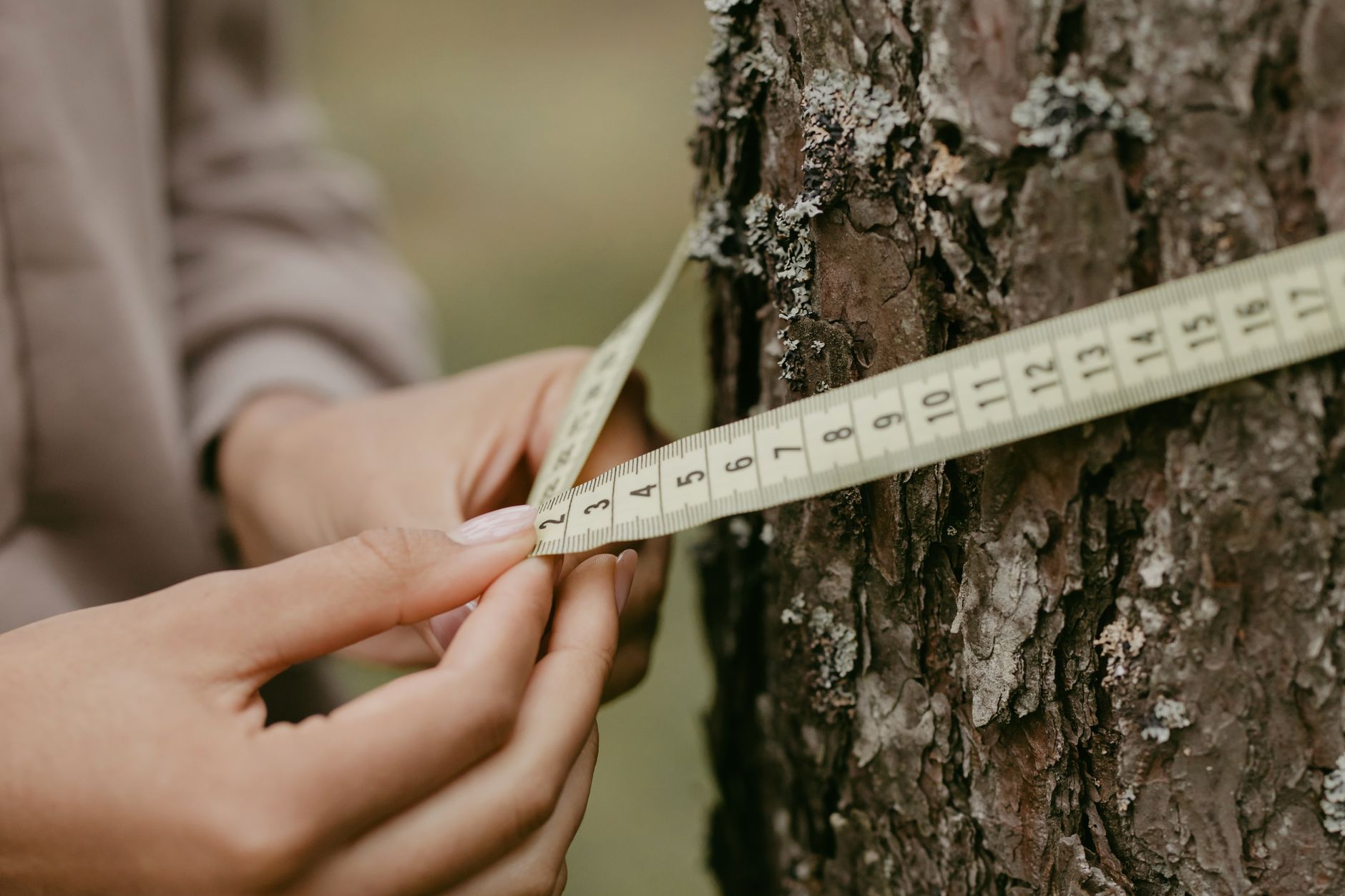
A drone does not replace the crew. It gives a small team a better map and fewer long walks. Foresters still decide what to measure, check the imagery against what they see, and handle the plots that need hands-on work such as species identification, tree condition, and health checks.
As a commercial robot integrator, we match the right drone to the site, lease it through financing, deploy and integrate it into the survey workflow, train staff to fly and process the data, and service it nationwide. Crews keep their roles, and the aerial platform takes over the walks that slow them down.
Training is where most of the value takes hold. Staff who understand the sensor limits, the flight planning, and the data workflow get more from each survey, and they know when a block needs a second pass on foot.
If a problem comes up in the field, the team needs a response plan rather than a long wait. Our service covers the drone after handover so that work stays on schedule.
What drives the time savings?
The savings come from hours on the ground. The Swedish time study measured the inventor's time in the terrain directly, finding 85 percent less time than walking it, and overall inventory time 12 percent lower. The study also reports that the drone was already time saving on areas over two hectares, which is a useful minimum to test on your own blocks.
Savings depend on the site. Block size, slope, canopy density, and how many plots still need hands-on work all shift the result. A small, steep block usually gains more from aerial mapping than a small, flat one, and a large block with easy access may gain less. A site assessment shows where the hours really go.
Ranges and quotes come after a site assessment, not from a headline. The payment comes in the quote, based on the blocks, sensors, and crew training that fit your forest.
What can a drone not do in a forest?
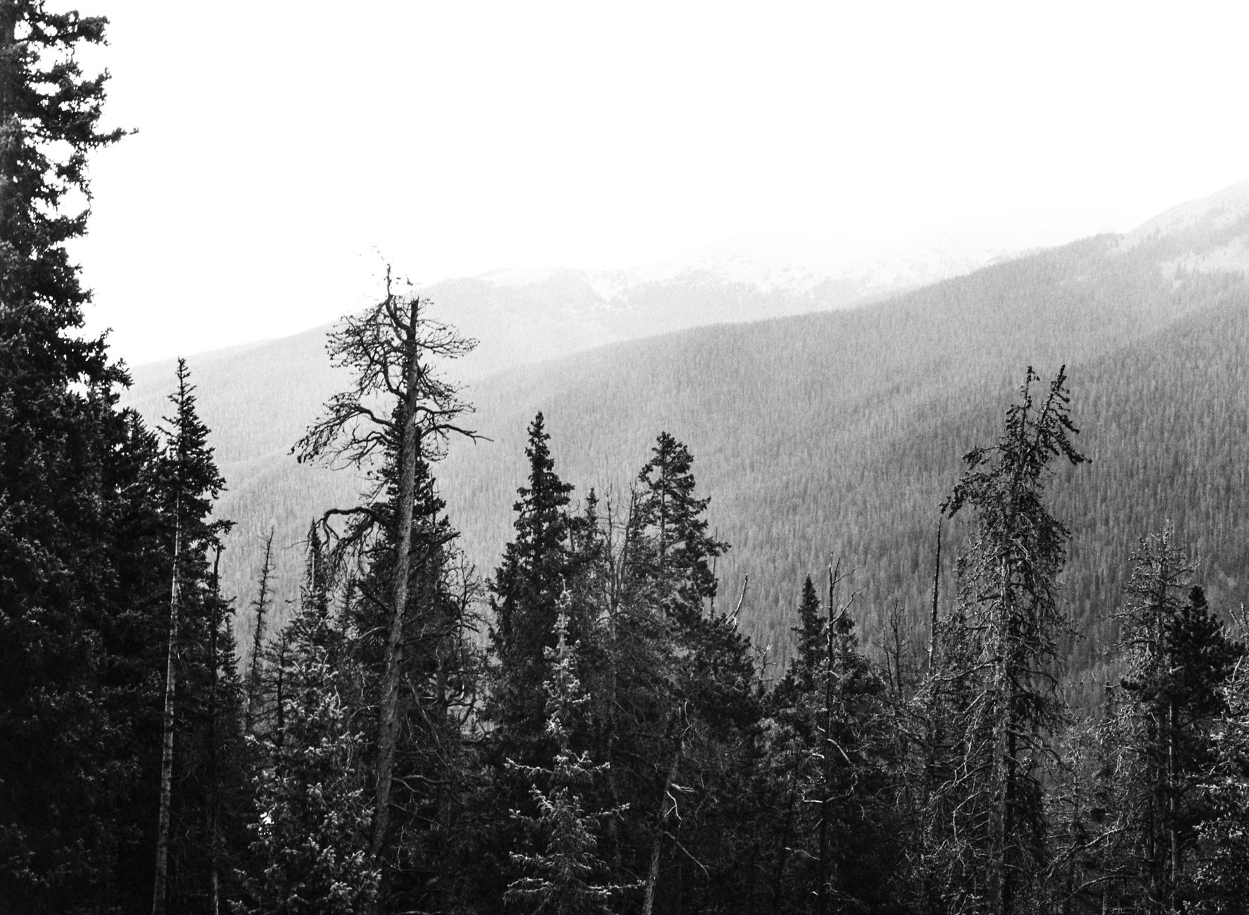
A drone sees the top of the canopy best. It records what the camera can capture, so trunk condition, understory, and species under dense cover still need crews on the ground. Heavy canopy, fog, and strong wind limit both flights and image quality.
Drone data also needs checking. Stand estimates from imagery should be compared with field plots before they feed a management plan. The Croatian preprint's accuracy finding is encouraging, but it is early evidence, and local species and terrain can change how well any method performs.
Flight rules, airspace limits, battery life, and weather windows set the schedule. Plan around those limits before promising a survey date, and leave room for a return visit when conditions turn.
How do you get started?
Start with a free site assessment. We walk the ground with you, map the blocks that cost the most time, and identify where a drone saves crew hours and where it adds little. That tells us which drone and sensors fit your forest.
Drones are leased through financing, and the lease is quoted after the free site assessment. Once you accept the quote, we deploy and integrate the drone into your survey workflow, train the staff who fly and process it, and provide service nationwide, so one partner handles setup, training, and follow up.
A sensible first step is one block over one season, compared against the field plots you already have. That gives you a clear basis for deciding how far to take drones for forests across the rest of your land.
Frequently asked questions
Want a drone at your forest?
Tell us about your site. We will recommend the robot, quote the lease, and keep it serviced.
Sources
- Swedish University of Agricultural Sciences (SLU) thesis on drone inventory
- Thai journal study of plantation inventory with drones
- 2023 Asian Conference on Remote Sensing paper on drone stand volume in steep plantation
- Croatian preprint on sensors reducing forest fieldwork
- USDA Forest Service FY24 unmanned aircraft systems report
- USDA Forest Service Rocky Mountain Research Station: augmenting forest inventories using drones
- DVIDS: aerial eye on the forest, Forest Service UAS work in California
- USDA Forest Service: Forest Resources of the United States, 2017