
Key takeaways
- Drones map embankment surfaces so engineers can review imagery before anyone walks the slope.
- Hours saved should come from your own measured walk times, not from a vendor claim.
- Drones see the surface, so seepage checks stay with instruments and on-ground review.
- A tailings facility runs a robot plus a smaller team, never zero staff.
- A lease quote follows a free site assessment, and the payment comes in that quote.
How can drones for tailings facilities help?
Drones for tailings facilities give engineers and site staff a faster, repeatable way to look at embankment surfaces without sending a person across every stretch of crest and slope. The main problem they solve is the walking. Inspectors cover long, uneven embankments on foot, looking for cracks, wet patches and seepage, and that walk eats time that could go to deeper checks.
A drone flies a set route over the crest, the downstream face and the beach, capturing overlapping imagery. Engineers can then compare this survey with the last one and see where the surface has changed. The main benefits are more frequent visual records, consistent documentation from survey to survey, and fewer routine foot trips onto the steepest ground.
The drone does not replace the engineer's judgment or the instruments built into the dam. It gives the people who make those calls more frequent records, and it keeps people off the steepest or least stable ground for tasks that do not need them there.
Why does walking the embankment take so much of the crew's time?
Tailings facilities are large, and many are old. According to a 2019 Army Corps of Engineers analysis of US tailings facilities, hosted on worldminetailingsfailures.org, there are about 1,232 tailings facilities in the US holding 12.2 billion cubic meters of tailings. Of those, 295 facilities, holding 42% of tailings volume, are rated high potential hazard.
Failures are not rare in the historical record. According to a 2022 review published in Metals by MDPI, 342 tailings dam failures were recorded from 1915 to 2021, and the average was 4.4 failures per year from 1947 to 2021. The United States accounts for 107 failures in that database, and the Americas account for 57.9% of failures. Those numbers explain why routine surveillance carries so much weight at these sites.
The walking itself is where the friction sits. An embankment crest can run long and uneven, the downstream face is steep, and a crew can only cover so much ground in a shift. Every route on foot is also a route someone has to walk back, and the ground near the toe and the beach can be unsafe to enter in some conditions.
Which areas of a tailings facility does the drone cover?
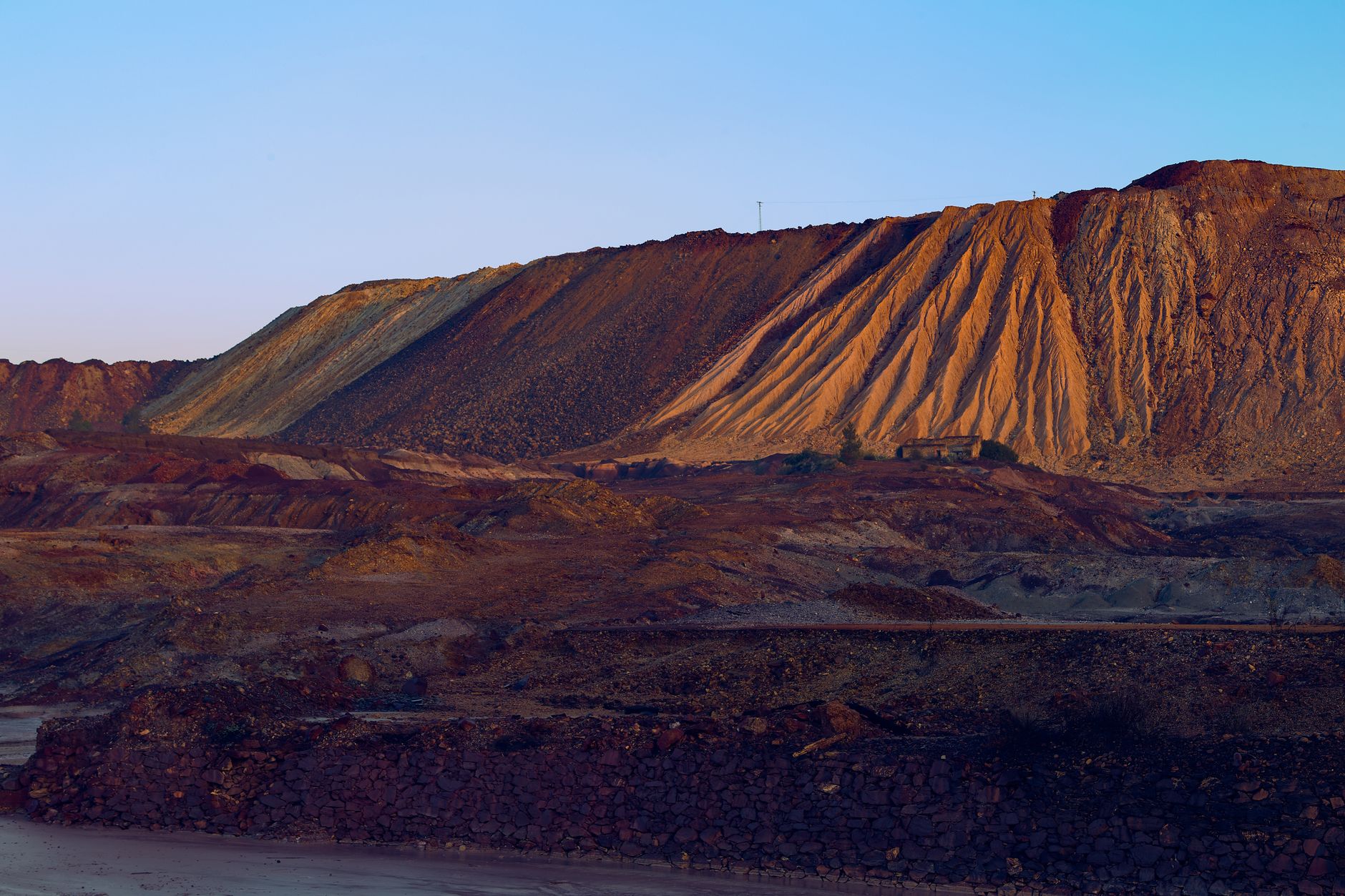
A drone works best on the surfaces a person can see from above and can reach only slowly on foot. That means the crest, the downstream face and slopes, the upstream beach, the decant pond shoreline, the spillway and outlet structures, and the toe and seepage collection areas.
Each area serves a different purpose in the imagery. On the crest, engineers look for cracks, settlement and edge changes. On the downstream face, they look for wet patches, erosion channels and slumps. Near the toe, they check seepage collection areas. The beach shows where tailings are laid down and where water ponds, and the spillway shows debris and erosion on concrete and rock.
Flights do not see inside the dam or the groundwater below it. Those checks still come from instruments and from people with the right training, so the drone's job is to tell the team where to look.
How does a drone work there day to day?
A typical survey starts with a flight plan built from the last survey's route, so each pass lines up with the one before it. The drone flies the planned lines at a set height and captures overlapping images. Staff review the pictures on a screen, flag anything new, and send the flagged locations to the engineer.
The imagery method is close-range photogrammetry. According to a 2025 paper in ISPRS Annals, drone-based close-range photogrammetry can detect and quantify surface cracks, seepage, deformation and other dam defects. The paper's abstract gives no time-savings figures, so the savings at your site need to be measured on your own route.
Our team handles the setup. During a free site assessment we map the flight areas, check the access and weather limits, and set a flight plan. Then we train your staff to fly the routine survey and to review the imagery for this site.
Does a drone mean fewer people on site?
No. A drone is a tool for the crew, not a replacement for it. The people who walk the flagged areas, read the instruments and talk with the engineer still do that work. What changes is which parts of the routine survey need a person on foot.
A tailings facility needs a robot plus a smaller team, never zero staff. Someone has to launch and recover the drone, keep the flight log, review the imagery and decide what gets walked. The team stays on site and stays accountable for the call.
Our integration includes training, so the staff can run routine flights and handle the reviews. We service the drone nationwide, with on-site dispatch and remote triage when a unit has a fault, so the fault can be routed quickly.
What drives the savings, and how much time is at stake?
The savings come from hours on foot. The routine walk, the note taking and the comparison work all add up across a season. We do not have a verified figure for hours spent on embankment walks at this kind of place, and a vendor claim we found was not tested in an independent study. So we will measure your current hours during the site assessment, and the savings will come from your own numbers.
Staffing is part of the picture. The closest Bureau of Labor Statistics occupation to this work, mining and geological engineers, is projected to grow 1 percent from 2024 to 2034, which is slower than average for all occupations, according to the Bureau. Routine work is therefore best kept efficient on the team that already exists.
A drone-based survey also changes what the crew does in a day. Hours that used to go to walking can go to review, follow-up on flagged spots and the instrument work that needs a person.
What can a drone not do at a tailings facility?

Drones have real limits, and they are worth stating plainly. They see surfaces. They do not read a piezometer, measure what sits inside the dam, or sample seepage water and tailings.
Weather and wind limit flights, and any one flight covers only a finite area, so large facilities need planned routes spread across several days. The value of the imagery depends on consistent flight lines and good lighting, which is why the same route matters from survey to survey.
The drone does not replace the following tasks:
- Instrument readings inside the dam and at monitoring points
- Hands-on sampling of seepage water and tailings
- Engineering judgment about stability and any repair
- Inspection of areas where flying is not safe or not allowed
How do you get started with drones for tailings facilities?
Start with a conversation about the facility and the survey you already run. We are a US commercial robot integrator. We pick the right robot for the site, lease it through financing, deploy and integrate it, train your staff and service it nationwide. Robots are only leased through financing, and the payment comes in the quote.
The first step is a free site assessment. We map the flight areas, measure your current walk times, check access and weather limits, and set a flight plan with your engineer. A lease quote follows the assessment, so the numbers come from your site rather than from a generic estimate.
Many operators begin with a robot pilot program on one embankment or one season's survey, then decide on wider use based on what the review showed. We set up the route, train the crew and service the unit with on-site dispatch and remote triage.
Frequently asked questions
Want a drone at your tailings facility?
Tell us about your site. We will recommend the robot, quote the lease, and keep it serviced.
Sources
- Bureau of Labor Statistics, Occupational Outlook Handbook: Mining and Geological Engineers
- MDPI, Metals 2022 (tailings dam failure review)
- US Army Corps of Engineers analysis of US tailings facilities (2019), hosted on worldminetailingsfailures.org
- ISPRS Annals 2025, drone close-range photogrammetry for dam defects
- Soils and Rocks, Lapa Dam UAV photogrammetry study
- West Virginia University FARO lab, tailings dam inspection research