
Key takeaways
- Aerial scouting catches uneven growth, drainage trouble and pest pressure on steep rows before they cut the harvest.
- Multispectral imagery can flag plant stress early, and one spraying drone cut pesticide volume by 25% in a study.
- A drone changes where scouts walk, but people still confirm the cause and decide the treatment.
- Savings come from fewer walked hours and targeted passes, and your real numbers come from a site assessment.
How can drones for tea estates help?
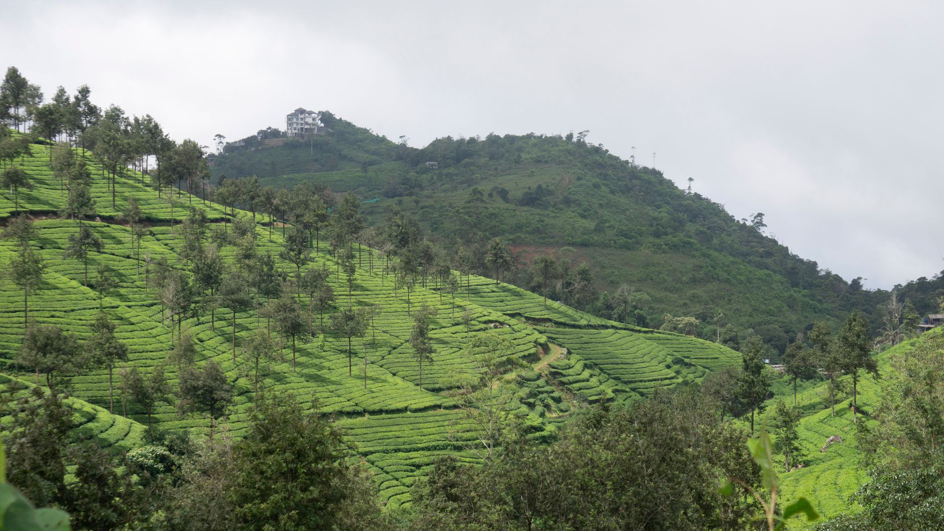
Drones for tea estates help managers see what is happening across steep plots before the problem reaches the harvest. A walk through a sloped block shows the bushes in front of you, but it rarely shows the pattern across the whole hillside. An aerial survey gives you that pattern in one pass, so uneven growth, poor drainage and pest pressure can be found while there is still time to act.
The main benefit is earlier detection. Problems that cut yield often begin as small patches of weaker growth or stress that are easy to miss from the path. A drone can turn those patches into a map, so field staff walk straight to the spots that need them instead of covering every slope on foot.
This page covers the problems estates face today, the main benefits, how the drone works day to day, which parts of an estate it covers, how it fits with your crew, what it cannot do, what drives the savings, and how to start with a free site assessment.
What problems do tea estates face today?
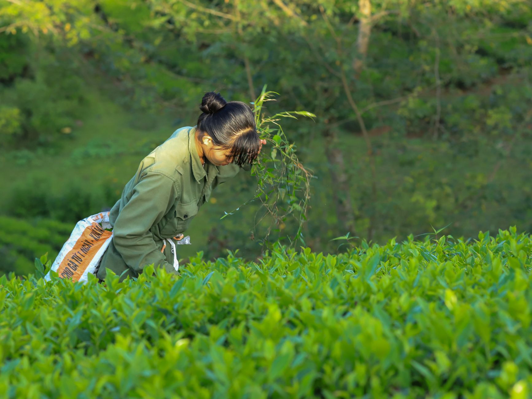
Tea often grows on steep, broken ground, and that terrain slows everything down. Plucking is manual and tied to daily targets, and steep, rocky slopes are hard to mechanize, so most field work still depends on people walking the rows.
The usual scouting problem is coverage. A supervisor can walk a few blocks in a morning and see the edges, the easy paths and the bushes beside them. Pest pressure, nutrient gaps and waterlogged patches often sit deeper in the block, where they do not show from a path. By the time the trouble shows in the leaf, it may already be cutting into the harvest.
Pests add another layer. Tea leafhoppers are among the pests that spraying programs aim to control, and knapsack spraying on a slope is heavy, slow work. That is why estates that want less chemical and less time on the slope have started testing aerial tools, and the next section looks at what those tests show.
What are the main benefits of drones for tea estates?
The clearest benefit is early pest detection. A government-backed research project in India is testing multispectral drone imaging to find pest problems in tea early. According to NewsBytes, a national tea board program running from April 2026 to March 2029 plans to use drone surveys and hyperspectral imagery to map tea regions, predict pest outbreaks, track plant health and estimate green-leaf yields.
Spraying is the second benefit. According to a peer-reviewed study of tea gardens in China, two crop-protection drones were tested against knapsack sprayers, and one of them under optimal settings cut the pesticide needed to control tea leafhoppers by 25%. That is pesticide volume, not labor time, but it shows that aerial application can be matched to need rather than habit. A 2026 notice from a tea research body also describes a collaboration on drone spray settings and field tests against major tea pests.
Aerial work is also reaching larger areas. According to Aviation Week, a contract on one Kenyan tea estate covers over 3,000 acres of tea in under two weeks for fertilizer spraying and spreading, and the contractor reports a 50% saving on cost and time. That is the contractor's own claim, and it is not a per acre rate, so treat it as a direction rather than a benchmark for your blocks.
Mapping adds a third benefit: a record. Repeat flights over the same blocks let you compare growth and drainage from one season to the next, so a problem can be traced back to where it began. According to the Assam Tribune, in January 2019 a tea industry association said it was exploring drones for crop monitoring against pest attack and weed invasion, and for spraying fertilizer and pesticide. Public reports do not show whether that effort went beyond discussion.
How does a drone work on a tea estate day to day?
The routine is simpler than most managers expect. Before the first flight, each block is mapped and the route is set so the drone covers every slope in consistent passes at a fixed height. Flights are planned for calm, dry conditions, because wind and rain affect both flight safety and image quality. Each flight is processed into maps that the team can read on a tablet at the edge of the field.
The readings are specific. Multispectral imagery can show changes in leaf reflectance that appear before symptoms are visible to the eye. Those changes are marked on the map, and the team gets a short list of blocks, rows and patches to walk first, with the likeliest problems at the top.
A typical setup has a trained pilot who flies the drone, someone who reviews the imagery, and the field staff who verify what the map flags. Verification matters, because an image flags a pattern and only a person standing in the row can confirm the cause. The drone reduces wandering on the slope, but the judgment stays with the people who know the estate.
- Uneven vigor across a block, which can point to a nutrient or irrigation gap
- Waterlogged or eroded patches on slopes, which can point to drainage trouble
- Leaf stress patterns that may mean pest pressure and need a ground check
- Canopy changes that help estimate green-leaf yield before plucking
Which areas of an estate does a drone cover?
A drone earns its place where walking is slowest and where a hidden problem costs the most. That means steep plots, the lower ends of slopes where water collects, and blocks far from access roads. Flat, easy blocks can usually be scouted on foot quickly, so flight time is better spent elsewhere.
The estate's layout also shapes the plan. Nursery and young infill blocks need close checks for gaps and early stress, while mature bushes with a full canopy are where pest patterns can hide. Boundaries and access roads matter too, because they show how water and traffic move across the land.
The zones below are the main areas where drones for tea estates tend to earn their keep. Your site assessment decides which are worth flying first, and in what order.
How does a drone fit with your existing staff?
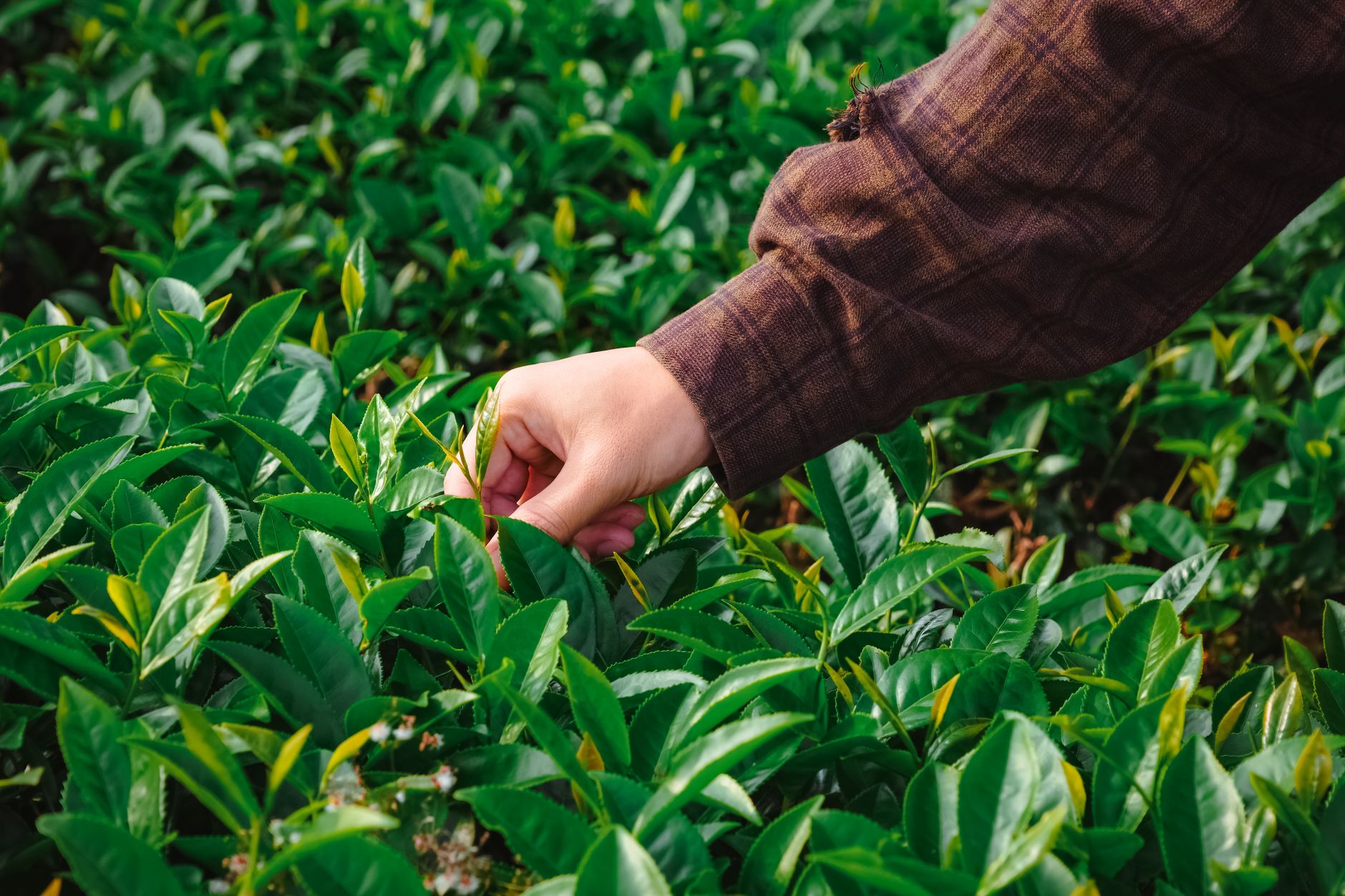
A drone does not replace the people on your estate. It changes where they spend their time. Scouts still walk, but they walk to the places the map flags, which means fewer hours on the wrong slopes and more time confirming real problems.
The team that runs a drone program is usually small: a trained pilot, someone who reads the imagery, and the scouts or supervisors who check the flags on the ground. Sprayers still apply treatments, and plucking crews keep their normal routines. The drone adds a view. It does not take a crew's place.
We are a commercial robot integrator. We pick the right robot for the site, lease it through financing, deploy and integrate it, train your staff and service it nationwide. Training is part of the job, so the people who fly, read and act on the maps are ready before the drone goes on a regular schedule.
What can a drone not do on a tea estate?
Drones have real limits, and they are worth stating before you commit. Weather comes first. Wind, rain and heavy mist can stop flights or spoil image quality, so wet seasons will cost flying days.
Imagery reads the top of the canopy. It can point to a problem, but it cannot see roots, soil pests or disease hidden inside the bush. A ground check is still needed to confirm the cause, and the right treatment depends on that check.
Spraying drones need the same discipline as any spray program. Label rules, buffer zones near water and housing, and correct droplet settings all have to be planned, and the operator needs the right licenses and training. Flights also depend on local airspace rules and permissions, which vary by country and can take time to arrange.
A drone will not pluck, prune or repair drainage. It finds the problem and helps the crew plan the work, but the work itself stays with the crew.
What drives the savings?
The savings come from three places: fewer hours walked to find problems, fewer blanket spray passes, and earlier coverage of blocks that would otherwise be scouted late. Each is real, but none is a promise. The size of any saving depends on how steep the estate is, how often you fly, and how many blocks get flagged.
Hours are the hardest figure to pin down. We did not find a sourced hours per hectare figure for tea scouting or spraying, so we will not quote one here. The better test is a timed walk and a timed flight on your own blocks, which the site assessment can set up.
The sources do show the direction. According to Aviation Week, a contractor reports a 50% saving on cost and time for fertilizer spraying and spreading on one Kenyan estate. According to a peer-reviewed study indexed on DOAJ, one spraying drone under optimal settings cut pesticide volume by 25% compared with knapsack sprayers. Both figures come from their sources and are not guaranteed for your ground.
For scale on the labor side, the Bureau of Labor Statistics counted about 812,600 jobs for agricultural workers in 2024. That is a US figure, not a tea one, but it shows how many people farm work still employs, and why hours on the ground matter.
How do you get started with a drone program?
Start small and specific. Choose one or two blocks that already cause trouble, fly them through a season, and compare what the map showed with what the ground crew found. That gives you a pilot you can judge on your own land before you widen it. You can also start with one leased unit.
We lease the drone through financing programs, so the estate does not need to fund all of the equipment in one step. The payment comes in the quote, which we send after a free site assessment.
The site assessment is the first step. We map the estate, look at the terrain and the blocks you want covered, check airspace and weather patterns, and plan the flight path and training. We are a US company, so the assessment is also where we confirm whether we can serve your estate and where the drone would be serviced. Once the drone is running, we handle deployment, go-live support, staff training and service, so the program keeps working through the season.
Frequently asked questions
Want a drone at your tea estate?
Tell us about your site. We will recommend the robot, quote the lease, and keep it serviced.